Browse / Finland / Ostrobothnia / Vörå
Vörå
Ostrobothniatown

Vörå
Total population
6,720
Founded
1868
Demographic figures from Statistics Finland. Overview below cites Wikipedia and may reference a different year.
City facts
Facts from Wikidata (CC0).
Overview
Vörå is a municipality in Finland, located on the west coast of the country. Vörå is situated in Ostrobothnia, along the Gulf of Bothnia, about 30 kilometres (19 mi) east of Vaasa and about 90 kilometres (56 mi) southwest of Kokkola. The population of Vörå is approximately 6,000, while the sub-region has a population of approximately 112,000. It is the 149th most populous municipality in Finland.
Read more on WikipediaHistory & geography
History
The first church in Vörå was built in the Middle Ages. The church was built on the hill in the early 16th century, and the current church was completed in 1627. The Battle of Oravais during the Finnish War (1808–1809) took place in Vörå on 14 September 1808. Vörå-Maxmo, in turn, was established in 2007 by merging the municipalities of (old) Vörå and Maxmo.
Excerpted from the corresponding Wikipedia article (CC BY-SA).
Geography
Coordinates & boundaries from the US Census TIGER/Line shapefiles.
Climate
Air quality
Walkability
Amenities nearby
Wildlife & biodiversity
Most-observed species
- Eurasian KestrelFalco tinnunculus Linnaeus, 1758 · Aves493
- RedwingTurdus iliacus Linnaeus, 1758 · Aves240
- Common ChaffinchFringilla coelebs Linnaeus, 1758 · Aves228
- FieldfareTurdus pilaris Linnaeus, 1758 · Aves211
- Willow WarblerPhylloscopus trochilus (Linnaeus, 1758) · Aves176
- Western JackdawColoeus monedula (Linnaeus, 1758) · Aves155
- Siberian Flying SquirrelPteromys volans (Linnaeus, 1758) · Mammalia142
- Common Wood-PigeonColumba palumbus Linnaeus, 1758 · Aves141
Citizen-science & research observations from the Global Biodiversity Information Facility (GBIF).
Earthquake history
Events from the USGS Earthquake Catalog (global) (FDSN Event Web Service).
Photos
Sights & places nearby
Notable people from here
Nearby places in Ostrobothnia
- Podvrško1242.1 mi away · pop. 294
- Gornji Rogolji1243.3 mi away · pop. 26
- Donji Rogolji1244 mi away · pop. 40
- Lještani1244.2 mi away · pop. 19
- Opatovac1244.4 mi away · pop. 332
- Bijela Stijena1245 mi away · pop. 30
- Matković Mala1245.8 mi away · pop. 26
- Gornji Slatinik1245.9 mi away · pop. 90
- Dubovik1246.2 mi away · pop. 84
- Trnakovac1246.2 mi away · pop. 126
- Cernička Šagovina1246.3 mi away · pop. 312
- Donji Slatinik1246.4 mi away · pop. 170
Geography & sun
Elevation, sunrise/sunset and daylight from Open-Meteo. Solar climatology from NASA POWER.
Nearby airports
Public attention
Pageview totals from the Wikimedia Pageviews API.
Books about this place
Recent natural events nearby
Ground air-quality sensors
Recently spotted species
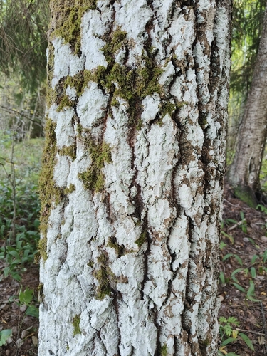
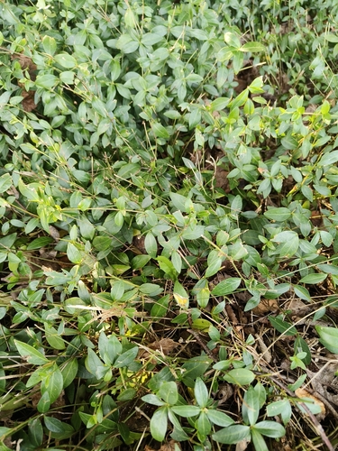
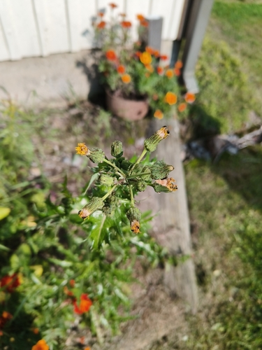
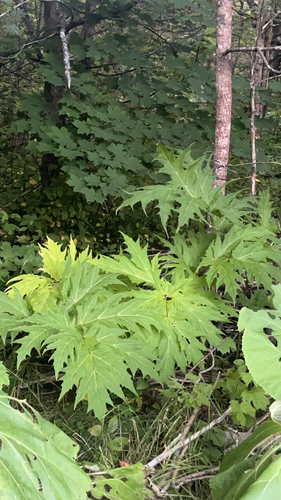
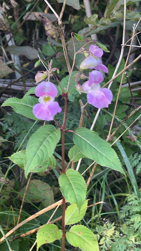
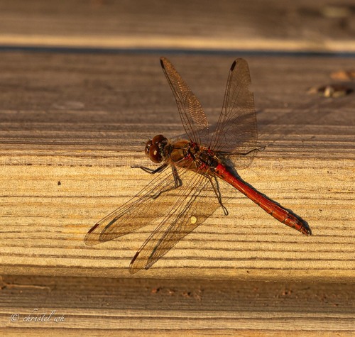
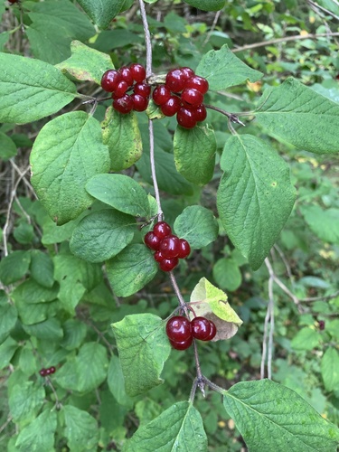
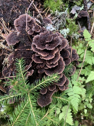
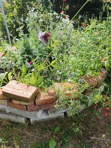
Research-grade observations from iNaturalist (within ~15 mi).
Events
Gallery
Sources
- • Wikipedia
- • Wikidata
- • USGS Earthquake Catalog (global feed)
- • GBIF (Global Biodiversity Information Facility)
- • iNaturalist
- • Open-Meteo / sunrise-sunset.org
- • Wikipedia Pageviews API
- • Wikidata SPARQL (CC0) — population, area, elevation, inception, head of government, Commons image