Browse / Fiji / Western / Lautoka
Lautoka
Westerncity

Lautoka
Total population
50,000
Demographic figures from Fiji Bureau of Statistics. Overview below cites Wikipedia and may reference a different year.
City facts
Facts from Wikidata (CC0).
Overview
Lautoka is the second largest metropolitan area in Fiji. It is on the west coast of the island of Viti Levu, in the Ba Province of the Western Division. Lying in the heart of Fiji's sugar cane-growing region, the city has come to be known as the Sugar City. Covering an area of 32 square kilometres, it had a population of 71,573 at the 2017 census, the most recent to date.
Read more on WikipediaHistory & geography
History
The name of the city is derived from two Fijian words meaning "spear hit." According to an oral tradition, the name arose following a duel between two chiefs. As one speared the other, he was reported to have cried "Lau-toka!" ("Bull's eye!"). The first known European sighting of the Lautoka area took place on 7 May 1789. Captain William Bligh spotted and roughly charted the coasts of Lautoka while making his epic voyage to Timor, in the wake of the mutiny on the Bounty. This city is central to sugar cane production in Fiji, and was populated by large numbers of indentured labourers working on the sugar cane plantations from the late 19th century onwards, many having come from India. In some respects, the city maintains a unique cultural identity in Fiji to this day, with a proud musical tradition linked to the early development of jazz. During World War II, the US Navy built a base at Lautoka as part of Naval Base Fiji. In 2012, Lautoka was announced as the administration capital of the western division.
Excerpted from the corresponding Wikipedia article (CC BY-SA).
Geography
Coordinates & boundaries from the US Census TIGER/Line shapefiles.
Climate
Air quality
Walkability
Amenities nearby
Wildlife & biodiversity
Earthquake history
Photos
Sights & places nearby
Notable people from here


People born within ~10 km, from Wikidata (CC0). Click any name for their Wikipedia article.
Nearby places in Western
Geography & sun
Elevation, sunrise/sunset and daylight from Open-Meteo. Solar climatology from NASA POWER.
Nearby airports
Public attention
Pageview totals from the Wikimedia Pageviews API.
Books about this place
Recent natural events nearby
Ground air-quality sensors
Recently spotted species
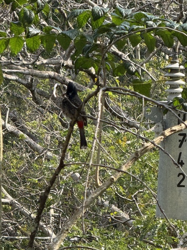
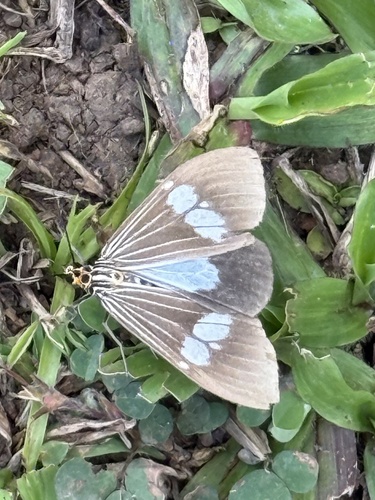
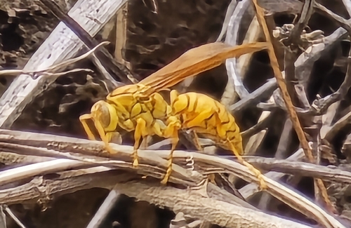
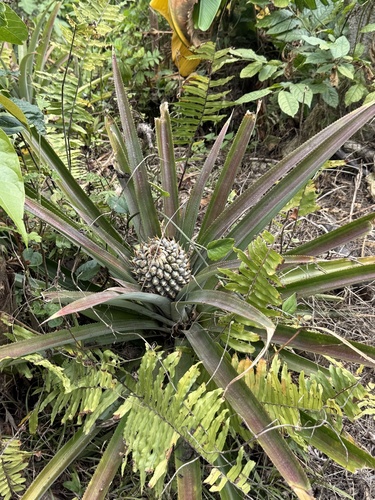
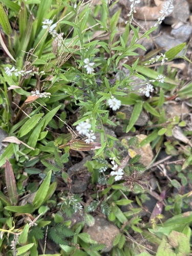
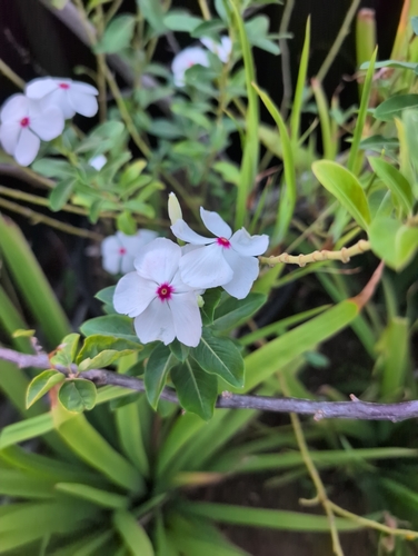
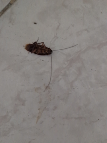
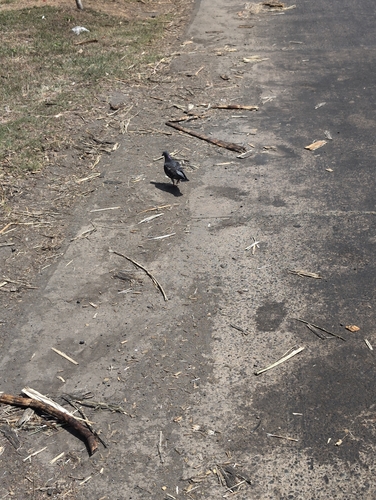
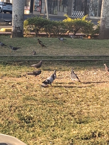
Research-grade observations from iNaturalist (within ~15 mi).
Events
Gallery
Sources
- • Wikipedia
- • Wikidata
- • iNaturalist
- • Open-Meteo / sunrise-sunset.org
- • Wikipedia Pageviews API
- • Wikidata SPARQL (CC0) — population, area, elevation, inception, head of government, Commons image