Browse / Fiji / Central / Suva
Suva
Centralcity

Suva
Total population
100,000
Demographic figures from Fiji Bureau of Statistics. Overview below cites Wikipedia and may reference a different year.
City facts
Facts from Wikidata (CC0).
Overview
Suva is the capital and most populous settlement of Fiji. It is the centre of Fiji's largest metropolitan area and serves as its major port. The city is on the southeast coast of the island of Viti Levu, in Rewa Province, Central Division.
Read more on WikipediaHistory & geography
History
In 1868, when Suva was still a small village, the Bauan chieftain, Seru Epenisa Cakobau, granted of land to the Australian-based Polynesia Company, in exchange for the company's promise to pay off debts owed to the United States. More than a tenth of this land area, , was near Suva. The company's original intention was to develop a cotton farming industry, but the land and climate proved unsuitable. In 1874, control of the Fiji Islands was ceded to the United Kingdom. In 1877, the colonial authorities moved the capital to Suva from Levuka, Ovalau, Lomaiviti, because Levuka's location between a steep mountain and the sea made any expansion of the town impractical. Colonel F. E. Pratt of the Royal Engineers was appointed Surveyor-General in 1875 and designed the new capital in Suva, assisted by W. Stephens and Colonel R. W. Stewart. The transfer of the administration to Suva was made official in 1882. In 1910, Suva acquired the status of a municipality, under the Municipal Constitution Ordinance of 1909. Its area remained one square mile until 1952, when Suva annexed the Muanikau and Samabula wards, expanding its territory to . In October of that year, Suva was officially designated a city – Fiji's first. Suva later annexed Tamavua. Most recently, Suva further extended its boundaries by incorporating the Cunningham area at its northern edge. Since then, urban sprawl has led to the growth of a number of suburbs outside the city limits. Together with the city, they form the metropolitan area known as the Greater Suva Area. Suva hosted the South Pacific Games in 2003 for the third time in the event's 40-year history. In preparation for hosting the event, the Fijian government, with the help of a $16 million aid package from the People's Republic of China, funded the…
Excerpted from the corresponding Wikipedia article (CC BY-SA).
Geography
Coordinates & boundaries from the US Census TIGER/Line shapefiles.
Climate
Air quality
Walkability
Amenities nearby
Wildlife & biodiversity
Most-observed species
- Peale's Imperial-PigeonDucula latrans (Peale, 1849) · Aves484
- Red-vented BulbulPycnonotus cafer (Linnaeus, 1766) · Aves468
- Masked Shining-ParrotProsopeia personata (G.R.Gray, 1848) · Aves460
- Common MynaAcridotheres tristis (Linnaeus, 1766) · Aves451
- White-rumped SwiftletAerodramus spodiopygius (Peale, 1849) · Aves423
- Orange-breasted MyzomelaMyzomela jugularis Peale, 1849 · Aves414
- Jungle MynaAcridotheres fuscus (Wagler, 1827) · Aves400
- Collared LoryPhigys solitarius (Suckow, 1800) · Aves371
Citizen-science & research observations from the Global Biodiversity Information Facility (GBIF).
Earthquake history
Most recent
- M 4.4 — 2023-10-0637 km NW of Nasinu, Fiji
- M 4.3 — 2023-06-0630 km W of Levuka, Fiji
- M 4.1 — 2022-03-2147 km SSE of Suva, Fiji
- M 4.3 — 2021-12-1417 km WNW of Levuka, Fiji
- M 4.6 — 2021-04-0553 km NNW of Levuka, Fiji
- M 4.3 — 2021-01-2824 km W of Levuka, Fiji
Events from the USGS Earthquake Catalog (global) (FDSN Event Web Service).
Photos
Sights & places nearby
Notable people from here


People born within ~10 km, from Wikidata (CC0). Click any name for their Wikipedia article.
Nearby places in Central
Geography & sun
Elevation, sunrise/sunset and daylight from Open-Meteo. Solar climatology from NASA POWER.
Nearby airports
Public attention
Pageview totals from the Wikimedia Pageviews API.
Books about Suva


Search results from Open Library.
Recent natural events nearby
Ground air-quality sensors
Recently spotted species
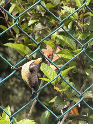
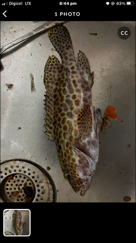
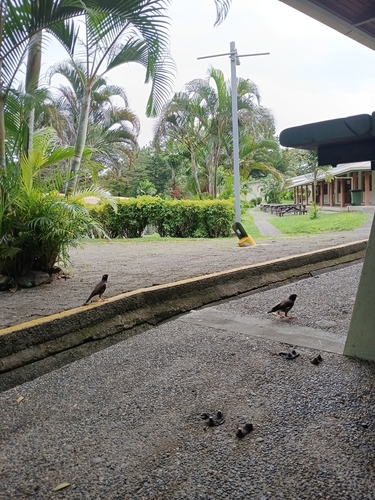
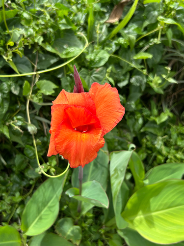
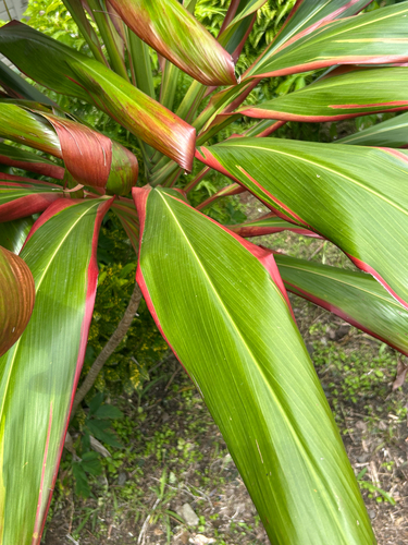
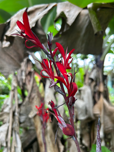
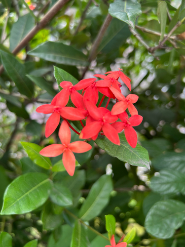
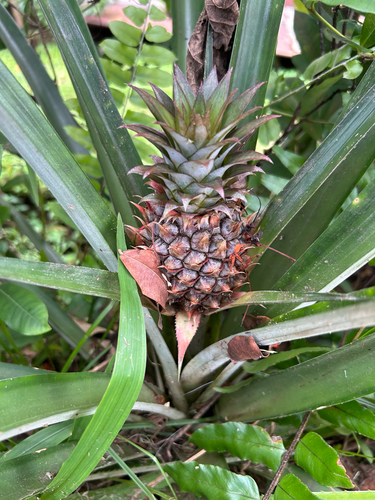
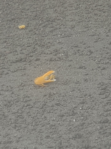
Research-grade observations from iNaturalist (within ~15 mi).
Events
Gallery
Geotagged photos within ~6 miles of Suva, from Wikimedia Commons contributors.
 0.6 mi
 0.7 mi
 0.7 mi
 0.7 mi
 0.7 mi
 0.7 mi
 0.7 mi
 0.7 mi
 0.7 mi
 0.7 mi
 0.7 mi
 0.7 mi
 0.7 mi
 0.7 mi
 0.7 mi
 0.7 mi
 0.7 mi
 0.7 mi
 0.7 mi
 0.7 mi
 0.8 mi
 0.8 mi
 0.9 mi
 0.9 mi
Photos via Wikimedia Commons — see each image page for license & attribution.
Sources
- • Wikipedia
- • Wikimedia Commons
- • Wikidata
- • USGS Earthquake Catalog (global feed)
- • GBIF (Global Biodiversity Information Facility)
- • iNaturalist
- • Open-Meteo / sunrise-sunset.org
- • Wikipedia Pageviews API
- • Open Library
- • Wikidata SPARQL (CC0) — population, area, elevation, inception, head of government, Commons image