Browse / United States / Florida / Belleair
Belleair
Floridatown

Belleair
Total population
4,428
Median home value
$633,300
Bachelor's+
Median income
$117,083
Demographic figures from US Census Bureau · ACS 5-year estimates. Overview below cites Wikipedia and may reference a different year.
City facts
Facts from Wikidata (CC0).
Overview
Belleair is a town in Pinellas County, Florida, United States. It is part of the Tampa–St. Petersburg–Clearwater Metropolitan Statistical Area, also known as the Tampa Bay area. As of the 2020 census, it had a population of 4,273.
Read more on WikipediaHistory & geography
History
Belleair traces its origins to 1896 as a planned resort town with the construction of the Belleview Hotel by railroad tycoon Henry B. Plant. Originally known as Belleair Heights, the village consisted of a few dozen homes, livestock stables, and a famed 200-seat coliseum where bicycle races and political rallies were held. Over 300 acres of land were cleared and streets platted. However, real estate development in the community did not meet expectations, and the population remained small. The former village of Belleair Heights fizzled out in the mid-20th century as urban sprawl blurred the lines between communities; the area stopped being referred to as Belleair Heights during the 1930s. Following the acquisition of the hotel by the John McEntee Bowman's Biltmore corporation in 1919, management began purchasing large tracts of land south of the resort. The Florida Land Boom was in full swing in 1924, when the company's vice president and hotel manager Earl E. Carley announced a new real estate venture of Belleair Estates. Belleair Estates was designed by famed landscape architect John Nolen and was intended as Florida's most exclusive winter residential colony. The town initially incorporated in late 1924, though was re-incorporated in 1925 under the current name of Belleair. Development continued until the real estate bubble burst in 1926, which subsequently aided in the national Great Depression three years later. Following World War II, Belleair began to develop in earnest, with over two-thirds of the town's residences built after 1950. The Eagles Nest Japanese Gardens was a tourist attraction in the town located on the private estate of Dean Alvord. It opened in 1933 and closed in 1952.
Geography
According to the United States Census Bureau, the town has a total area of , of which is land and (36.30%) is water.
Excerpted from the corresponding Wikipedia article (CC BY-SA).
Demographics & economy
Race & ethnicity
Source: US Census Bureau — American Community Survey, 5-year estimates.
Geography
Coordinates & boundaries from the US Census TIGER/Line shapefiles.
Climate
Current forecast
Forecast for Belleair, FL from NOAA NWS API.
Air quality
Industrial & pollution facilities
Natural hazard risk
Health (adults)
Age-adjusted prevalence estimates from CDC PLACES (latest release).
Walkability
Amenities nearby
Wildlife & biodiversity
Schools
Largest nearby schools
- LARGO HIGH SCHOOLHigh · LARGO · 2,055 students · 22.6:1 ratio
- PINELLAS PARK HIGH SCHOOLHigh · LARGO · 1,919 students · 21.6:1 ratio
- DIXIE M. HOLLINS HIGH SCHOOLHigh · KENNETH CITY · 1,822 students · 19.6:1 ratio
- COUNTRYSIDE HIGH SCHOOLHigh · CLEARWATER · 1,741 students · 21:1 ratio
- OSCEOLA FUNDAMENTAL HIGHHigh · SEMINOLE · 1,715 students · 22.6:1 ratio
- CLEARWATER HIGH SCHOOLHigh · CLEARWATER · 1,664 students · 21.9:1 ratio
- SEMINOLE HIGH SCHOOLHigh · SEMINOLE · 1,546 students · 21.2:1 ratio
- MADEIRA BEACH FUNDAMENTAL K-8Elementary · MADEIRA BEACH · 1,343 students · 19.2:1 ratio
Public K–12 schools within ~10 mi from Urban Institute Education Data Portal (NCES Common Core of Data, 2022).
Earthquake history
Photos
Sights & places nearby
Notable people from here


People born within ~10 km, from Wikidata (CC0). Click any name for their Wikipedia article.
Nearby places in Florida
Geography & sun
Elevation, sunrise/sunset and daylight from Open-Meteo. Solar climatology from NASA POWER.
Nearby airports
Public attention
Pageview totals from the Wikimedia Pageviews API.
Books about Belleair

Search results from Open Library.
Recent natural events nearby
- Wildfire H2, Palm Beach, FloridaWildfires · 2026-08-24 · 163 mi
- Wildfire THE H1, Palm Beach, FloridaWildfires · 2026-08-15 · 167 mi
- Wildfire HOLEY LAND (6), Broward, FloridaWildfires · 2026-07-28 · 169 mi
- Wildfire L 28, Broward, FloridaWildfires · 2026-07-28 · 169 mi
- Wildfire S7, Broward, FloridaWildfires · 2026-09-04 · 181 mi
- Wildfire Mitchell, Ware, GeorgiaWildfires · 2026-08-24 · 189 mi
- Wildfire 22, Miami-Dade, FloridaWildfires · 2026-08-23 · 196 mi
- Wildfire Bluegill, Miami-Dade, FloridaWildfires · 2026-08-02 · 203 mi
Wildfires, storms and other events from NASA EONET (last 12 months, within 250 mi).
Ground air-quality sensors
Recently spotted species
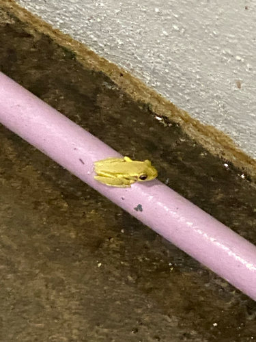
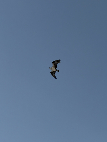
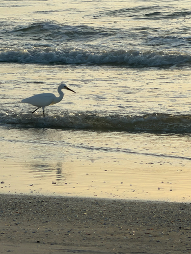
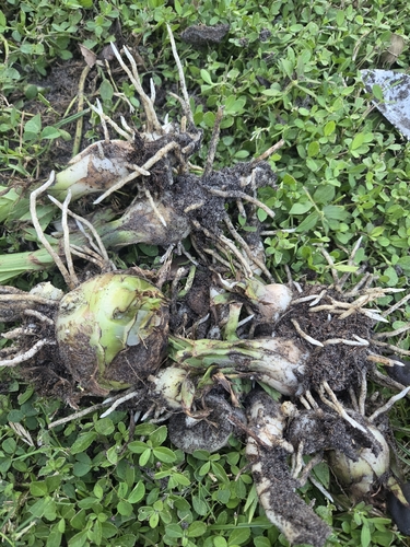
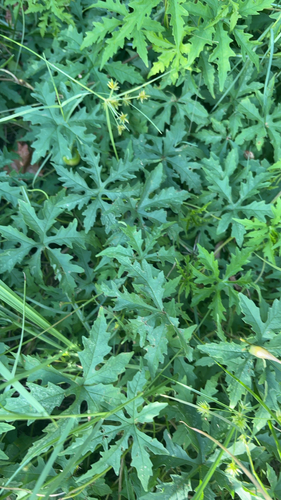
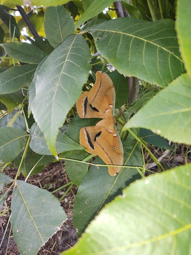
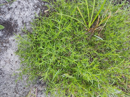
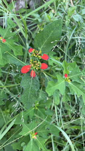
Research-grade observations from iNaturalist (within ~15 mi).
Nearest stream gauge
Live readings from USGS NWIS · measured 2026-09-17 11:30 UTC.
Events
Gallery
Sources
- • Wikipedia
- • US Census Bureau (ACS 5-year estimates)
- • NOAA National Weather Service
- • Wikidata
- • USGS NWIS (water data)
- • NCES via Urban Institute Education Data Portal
- • iNaturalist
- • CDC PLACES
- • Open-Meteo / sunrise-sunset.org
- • Wikipedia Pageviews API
- • Open Library
- • NASA EONET