Browse / United States / Florida / Fort Lauderdale
Fort Lauderdale
Floridacity

Fort Lauderdale
Total population
190,640
Median home value
$579,300
Bachelor's+
Median income
$90,734
Founded
1911
Demographic figures from US Census Bureau · ACS 5-year estimates. Overview below cites Wikipedia and may reference a different year.
City facts
Sister cities
Facts from Wikidata (CC0).
Overview
Fort Lauderdale is a coastal city located in the U.S. state of Florida, 30 miles (48 km) north of Miami along the Atlantic Ocean. It is the seat of government of and most populous city in Broward County with a population of 182,760 at the 2020 census, making it the tenth-most populous city in Florida. After Miami and Hialeah, Fort Lauderdale is the third-most populous city in the Miami metro area, which had a population of 6,166,488 in 2019.
Read more on WikipediaHistory & geography
History
The area of present-day Fort Lauderdale was inhabited for at least 2,000 years by Indigenous peoples associated with the Tequesta culture. Contact with Spanish explorers in the 16th century contributed to the decline of Native populations in South Florida through the introduction of Eurasian diseases, including smallpox, to which Indigenous communities had little immunity. Disease, warfare, and regional displacement contributed to the decline of the Tequesta and neighboring peoples over the following two centuries. The area was then incorporated within the Spanish Empire during the 16th century. By 1763, Native populations in South Florida had been greatly reduced, and surviving groups were reported to have migrated to Cuba when Spain ceded Florida to Great Britain under the Treaty of Paris (1763), which ended the Seven Years' War. The area remained sparsely settled until the late 19th and early 20th centuries. Before the city developed, the area was commonly known as the "New River Settlement". The first United States stockade, named Fort Lauderdale, was built in 1838. It was subsequently a site of fighting during the Second Seminole War. The fort was abandoned in 1842 after the war, and the area remained unsettled by colonists until the 1890s. In 1893, a ferry operated by Frank Stranahan provided transit across the New River. The Florida East Coast Railroad was also completed, providing a route through the area and sparking the city's development. In 1911, the city was incorporated. In 1915, it was designated the county seat of the newly formed Broward County. Fort Lauderdale's first major development began in the 1920s, during the Florida land boom. The Great Miami Hurricane of 1926 and the Great Depression of the 1930s caused a great deal of economic…
Geography
According to the United States Census Bureau, the city has a total area of , of which is land and of which is water (9.87%). Fort Lauderdale is known for its extensive network of canals; there are of waterways within the city limits. The city of Fort Lauderdale is adjacent to the Atlantic Ocean, includes of beaches, and borders the following municipalities: On its east: * Lauderdale-by-the-Sea * Sea Ranch Lakes On its south: * Hollywood * Dania Beach On its southwest: * Davie On its west: * Plantation * Lauderhill * Lauderdale Lakes On its northwest: * North Lauderdale * Oakland Park * Tamarac On its north: * Wilton Manors * Pompano Beach The northwestern section of Fort Lauderdale is separate from the remainder of the city, connected only by the Cypress Creek Canal as it flows under I-95. This section of Fort Lauderdale borders the cities of Tamarac and Oakland Park on its south side. Oakland Park also borders Fort Lauderdale on the west side of its northeastern portion. The greater portion of Fort Lauderdale in the south is bordered, along its north side by Wilton Manors. Off the coast of Fort Lauderdale is the Osborne Reef, an artificial reef made of discarded tires that has proven to be an ecological disaster. The dumping began in the 1960s, with the intent of providing habitat for fish, while disposing of trash from the land. However, in the rugged and corrosive environment of the ocean, nylon straps used to secure the tires wore out, cables rusted, and tires broke free. The tires posed a particular threat after breaking free from their restraints. The tires then migrated shoreward, and ran into a living reef tract, washed up on its slope, and killed many things in their path. In recent years, thousands of tires have also washed up on nearby beaches,…
Excerpted from the corresponding Wikipedia article (CC BY-SA).
Demographics & economy
Race & ethnicity
Source: US Census Bureau — American Community Survey, 5-year estimates.
Geography
Coordinates & boundaries from the US Census TIGER/Line shapefiles.
Climate
Current forecast
Forecast for Fort Lauderdale, FL from NOAA NWS API.
Air quality
Industrial & pollution facilities
Natural hazard risk
Health (adults)
Age-adjusted prevalence estimates from CDC PLACES (latest release).
Walkability
Amenities nearby
Wildlife & biodiversity
Most-observed species
- Northern MockingbirdMimus polyglottos (Linnaeus, 1758) · Aves19,169
- Blue JayCyanocitta cristata (Linnaeus, 1758) · Aves18,294
- Red-bellied WoodpeckerMelanerpes carolinus (Linnaeus, 1758) · Aves13,787
- Boat-tailed GrackleQuiscalus major Vieillot, 1819 · Aves12,420
- White IbisEudocimus albus (Linnaeus, 1758) · Aves11,825
- Mourning DoveZenaida macroura (Linnaeus, 1758) · Aves11,735
- Fish CrowCorvus ossifragus A.Wilson, 1812 · Aves11,226
- Northern CardinalCardinalis cardinalis (Linnaeus, 1758) · Aves10,145
Citizen-science & research observations from the Global Biodiversity Information Facility (GBIF).
Schools
Largest nearby schools
- J. P. TARAVELLA HIGH SCHOOLHigh · CORAL SPRINGS · 2,586 students · 23.9:1 ratio
- SOUTH BROWARD HIGH SCHOOLHigh · HOLLYWOOD · 2,397 students · 26.9:1 ratio
- PIPER HIGH SCHOOLHigh · LAUDERHILL · 2,310 students · 25.1:1 ratio
- DILLARD 6-12High · FORT LAUDERDALE · 2,279 students · 21.1:1 ratio
- FORT LAUDERDALE HIGH SCHOOLHigh · FORT LAUDERDALE · 2,228 students · 23.2:1 ratio
- NOVA HIGH SCHOOLHigh · DAVIE · 2,227 students · 24.7:1 ratio
- SOUTH PLANTATION HIGH SCHOOLHigh · PLANTATION · 2,224 students · 23.9:1 ratio
- MCARTHUR HIGH SCHOOLHigh · HOLLYWOOD · 2,050 students · 26.3:1 ratio
Public K–12 schools within ~10 mi from Urban Institute Education Data Portal (NCES Common Core of Data, 2022).
Earthquake history
Events from the USGS Earthquake Catalog (global) (FDSN Event Web Service).
Photos
Sights & places nearby
Notable people from here


People born within ~10 km, from Wikidata (CC0). Click any name for their Wikipedia article.
Nearby places in Florida
- Franklin Park1.9 mi away
- Boulevard Gardens2.3 mi away
- Lauderdale-by-the-Sea4.5 mi away
- North Lauderdale6.8 mi away · pop. 45,234
- Davie9.5 mi away
- Lighthouse Point10.1 mi away
- Hillsboro Beach10.4 mi away
- Pembroke Park10.7 mi away
- Aventura12.5 mi away · pop. 40,242
- Hillsboro Pines13 mi away
- Bal Harbour17.2 mi away
- Opa-locka18 mi away
Geography & sun
Elevation, sunrise/sunset and daylight from Open-Meteo. Solar climatology from NASA POWER.
Nearby airports
Public attention
Pageview totals from the Wikimedia Pageviews API.
Books about Fort Lauderdale
Search results from Open Library.
Recent natural events nearby
- Wildfire S7, Broward, FloridaWildfires · 2026-09-04 · 25 mi
- Wildfire 3 ALPHA SIERRA, Broward, FloridaWildfires · 2026-09-28 · 28 mi
- Wildfire 22, Miami-Dade, FloridaWildfires · 2026-08-23 · 28 mi
- Wildfire THE RADIO TOWER, Miami-Dade, FloridaWildfires · 2026-08-15 · 36 mi
- Wildfire Bluegill, Miami-Dade, FloridaWildfires · 2026-08-02 · 39 mi
- Wildfire THE H1, Palm Beach, FloridaWildfires · 2026-08-15 · 41 mi
- Wildfire H2, Palm Beach, FloridaWildfires · 2026-08-24 · 44 mi
- Wildfire Chipmunk, Miami-Dade, FloridaWildfires · 2026-08-21 · 59 mi
Wildfires, storms and other events from NASA EONET (last 12 months, within 250 mi).
Ground air-quality sensors
Recently spotted species
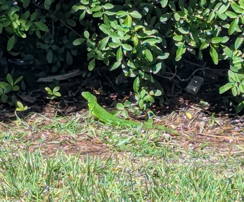
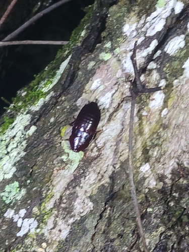
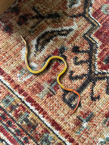
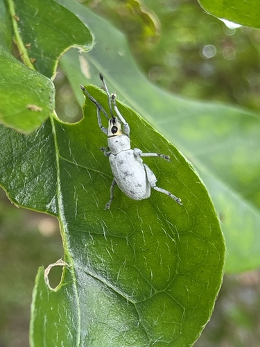
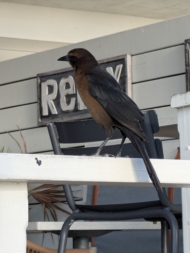
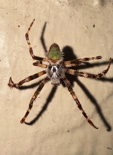
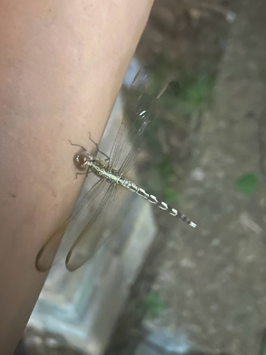
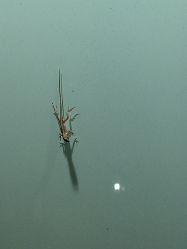
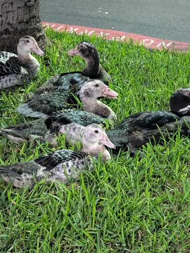
Research-grade observations from iNaturalist (within ~15 mi).
Nearest stream gauge
Live readings from USGS NWIS · measured 2026-10-16 15:45 UTC.
Events
Gallery
Sources
- • Wikipedia
- • US Census Bureau (ACS 5-year estimates)
- • NOAA National Weather Service
- • Wikidata
- • USGS Earthquake Catalog (global feed)
- • USGS NWIS (water data)
- • NCES via Urban Institute Education Data Portal
- • GBIF (Global Biodiversity Information Facility)
- • iNaturalist
- • CDC PLACES
- • Open-Meteo / sunrise-sunset.org
- • Wikipedia Pageviews API
- • Open Library
- • NASA EONET