Browse / United States / Florida / Fort Pierce
Fort Pierce
Floridacity

Fort Pierce
Total population
49,082
Median home value
$250,800
Bachelor's+
Median income
$47,072
Founded
1901
Demographic figures from US Census Bureau · ACS 5-year estimates. Overview below cites Wikipedia and may reference a different year.
City facts
Facts from Wikidata (CC0).
Overview
Fort Pierce is a city in and the county seat of St. Lucie County, Florida, United States. An hour north of West Palm Beach, the city is part of the Treasure Coast region of Florida’s Atlantic Coast. It is also known as the Sunrise City. Per the 2020 census, the population was 47,297.
Read more on WikipediaHistory & geography
History
The city was named after the Fort Pierce army post which was built nearby in 1838 during the Second Seminole War, and lasted until 1842. The first permanent settlement of the current city was during the 1860s. Lincoln Park each February hosts a celebration of the artwork of the African-American collective of landscape artists formed in the 1950s. Local artist A.E. Backus mentored many of the artists at his gallery. Several of the artists got their start at Lincoln Park Academy under the leadership of teacher Zanobia Jefferson. Art historian Jim Fitch in 1994 gave the group the name of 'the Highwaymen'. Over the course of 2001 to 2020, Gary Monroe wrote several books on the artwork of the 26 artists known as Highwaymen (including one woman). On October 9th, 2024, a deadly EF3 tornado would be spawned by Hurricane Milton and occurred within the Fort Pierce area with estimated windspeeds of 160 MPH causing 6 deaths.
Geography
According to the U.S. Census Bureau, the city has a total area of 29.84 mi2 (77.29 km2), of which 23.79 square miles (61.62 km2) is land and 6.05 square miles (15.67 km2) of it (20%) is water. According to the U.S. Army Corps of Engineers, The Fort Pierce Beach Shore Protection project includes of shore-line running from immediately south of the Fort Pierce Inlet southward to Surfside Park. The project is on a two-year renourishment cycle due to impacts to the beach from the federal navigation project at Fort Pierce Inlet. This two-year renourishment cycle is a much shorter renourishment interval than what is typical for other projects along the east coast of Florida. The initial construction of the project occurred in 1971, and the ninth nourishment was completed in May 2013. Completion of plans and specifications, advertisement and award for the 10th renourishment contract were completed in FY 2014. The project was scheduled to start mid-February 2015. Sand for the project is dredged from an approved offshore borrow area known as the Capron Shoal and then pumped via a pipeline onto the of beach south of the Fort Pierce Inlet. The sponsor, St. Lucie County, is preparing a General Reevaluation Report (GRR) for the project at their own expense that will evaluate extending Federal participation for an additional 50 years. Current Federal participation expires in 2020. all-time Feb low | source = }}
Excerpted from the corresponding Wikipedia article (CC BY-SA).
Demographics & economy
Race & ethnicity
Source: US Census Bureau — American Community Survey, 5-year estimates.
Geography
Coordinates & boundaries from the US Census TIGER/Line shapefiles.
Climate
Current forecast
Forecast for Fort Pierce, FL from NOAA NWS API.
Air quality
Industrial & pollution facilities
Natural hazard risk
Health (adults)
Age-adjusted prevalence estimates from CDC PLACES (latest release).
Walkability
Amenities nearby
Wildlife & biodiversity
Schools
Largest nearby schools
- FORT PIERCE CENTRAL HIGH SCHOOLHigh · FORT PIERCE · 3,091 students · 26.6:1 ratio
- ST. LUCIE WEST CENTENNIAL HIGHHigh · PORT ST LUCIE · 2,766 students · 24.9:1 ratio
- FORT PIERCE WESTWOOD ACADEMY THE W.E.S.T. PREP MAGNETHigh · FORT PIERCE · 2,010 students · 25.1:1 ratio
- PORT ST. LUCIE HIGH SCHOOLHigh · PORT ST LUCIE · 1,748 students · 23:1 ratio
- MANATEE ACADEMY K-8Elementary · PORT ST LUCIE · 1,664 students · 19.6:1 ratio
- ST. LUCIE WEST K-8 SCHOOLElementary · PORT ST LUCIE · 1,601 students · 18:1 ratio
- LINCOLN PARK ACADEMYHigh · FORT PIERCE · 1,594 students · 22.5:1 ratio
- WEST GATE K-8 SCHOOLElementary · PORT ST LUCIE · 1,522 students · 17.9:1 ratio
Public K–12 schools within ~10 mi from Urban Institute Education Data Portal (NCES Common Core of Data, 2022).
Earthquake history
Photos
Sights & places nearby
Notable people from here


People born within ~10 km, from Wikidata (CC0). Click any name for their Wikipedia article.
Nearby places in Florida
- Fort Pierce South1.3 mi away
- Fort Pierce North3.5 mi away
- Lakewood Park8.3 mi away
- Florida Ridge11.2 mi away
- Hutchinson Island South11.2 mi away
- North River Shores14.7 mi away
- Ocean Breeze14.7 mi away
- Gifford18 mi away
- Orchid24.4 mi away
- Fellsmere26.2 mi away
- Indiantown28.1 mi away
- Cypress Quarters31.2 mi away · pop. 1,697
Geography & sun
Elevation, sunrise/sunset and daylight from Open-Meteo. Solar climatology from NASA POWER.
Nearby airports
Public attention
Pageview totals from the Wikimedia Pageviews API.
Books about Fort Pierce
Search results from Open Library.
Recent natural events nearby
- Wildfire BLUE LAKE, Indian River, FloridaWildfires · 2026-09-15 · 32 mi
- Wildfire H2, Palm Beach, FloridaWildfires · 2026-08-24 · 75 mi
- Wildfire S7, Broward, FloridaWildfires · 2026-09-04 · 77 mi
- Wildfire THE H1, Palm Beach, FloridaWildfires · 2026-08-15 · 77 mi
- Wildfire 3 ALPHA SIERRA, Broward, FloridaWildfires · 2026-09-28 · 91 mi
- Wildfire 22, Miami-Dade, FloridaWildfires · 2026-08-23 · 103 mi
- Wildfire Bluegill, Miami-Dade, FloridaWildfires · 2026-08-02 · 116 mi
- Wildfire THE RADIO TOWER, Miami-Dade, FloridaWildfires · 2026-08-15 · 119 mi
Wildfires, storms and other events from NASA EONET (last 12 months, within 250 mi).
Ground air-quality sensors
Recently spotted species
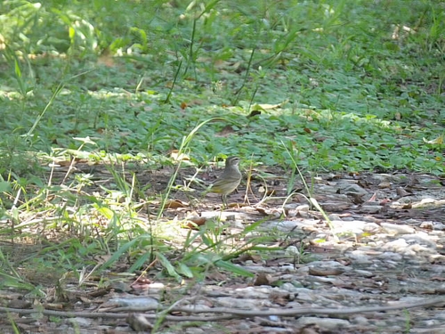
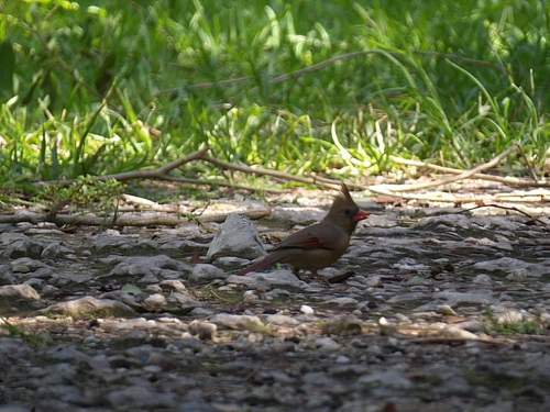
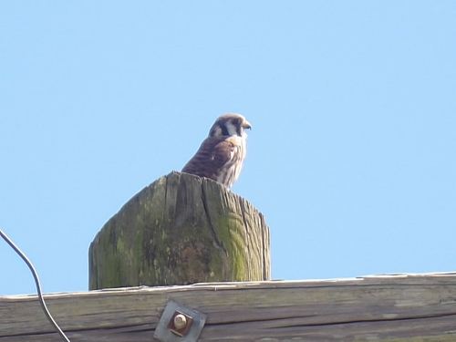
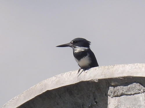
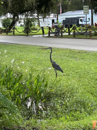
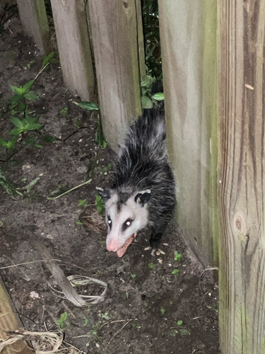
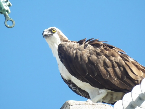
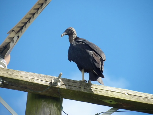
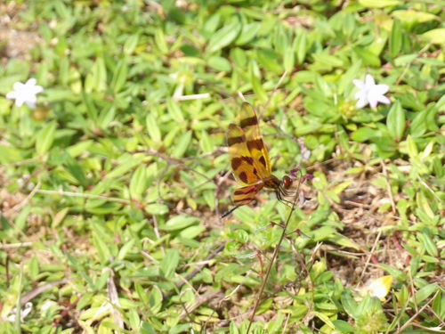
Research-grade observations from iNaturalist (within ~15 mi).
Nearest stream gauge
Live readings from USGS NWIS · measured 2026-10-16 15:30 UTC.
Events
Gallery
Sources
- • Wikipedia
- • US Census Bureau (ACS 5-year estimates)
- • NOAA National Weather Service
- • Wikidata
- • USGS NWIS (water data)
- • NCES via Urban Institute Education Data Portal
- • iNaturalist
- • CDC PLACES
- • Open-Meteo / sunrise-sunset.org
- • Wikipedia Pageviews API
- • Open Library
- • NASA EONET