Browse / United States / Florida / Gotha
Gotha
FloridaCDP

Gotha
Total population
1,124
Median home value
$745,500
Bachelor's+
Median income
$0
Demographic figures from US Census Bureau · ACS 5-year estimates. Overview below cites Wikipedia and may reference a different year.
City facts
Facts from Wikidata (CC0).
Overview
Gotha is a census-designated place (CDP) in Orange County, Florida, United States. Gotha is located between Ocoee and Windermere. As of the 2020 census, Gotha had a population of 2,217. It is part of the Orlando–Kissimmee Metropolitan Statistical Area. It is the resting place of the famous painter Bob Ross.
Read more on WikipediaHistory & geography
History
A post office opened at Gotha in 1883. The town of Gotha was founded in 1885 by German immigrant H. A. Hempel. Hempel Avenue, the "main street" of Gotha, is named in his honor. After buying 1000 acres, the majority of acreage still designated as United States Territory, he laid out a town and named it after his birthplace of Gotha, Germany. He then mailed promotional pamphlets to northern cities and to Europe advertising the warm climate and mild winters. In time, several German American families moved to and settled in and around Gotha. It is home to Nehrling Gardens, developed by horticulturist Henry Nehrling.
Geography
According to the United States Census Bureau, the CDP has a total area of , of which is land and (10.20%) is water. Gotha experiences a Humid subtropical climate (cfa) with all year precipitation, warm to hot summers, wet and mild to warm winters.
Excerpted from the corresponding Wikipedia article (CC BY-SA).
Demographics & economy
Race & ethnicity
Source: US Census Bureau — American Community Survey, 5-year estimates.
Geography
Coordinates & boundaries from the US Census TIGER/Line shapefiles.
Climate
Air quality
Industrial & pollution facilities
Natural hazard risk
Health (adults)
Walkability
Amenities nearby
Wildlife & biodiversity
Schools
Earthquake history
Photos
Sights & places nearby
Notable people from here


People born within ~10 km, from Wikidata (CC0). Click any name for their Wikipedia article.
Nearby places in Florida
Geography & sun
Elevation, sunrise/sunset and daylight from Open-Meteo. Solar climatology from NASA POWER.
Nearby airports
Public attention
Pageview totals from the Wikimedia Pageviews API.
Books about Gotha

Search results from Open Library.
Recent natural events nearby
- Wildfire BLUE LAKE, Indian River, FloridaWildfires · 2026-09-15 · 73 mi
- Wildfire Mitchell, Ware, GeorgiaWildfires · 2026-08-24 · 151 mi
- Wildfire H2, Palm Beach, FloridaWildfires · 2026-08-24 · 153 mi
- Wildfire THE H1, Palm Beach, FloridaWildfires · 2026-08-15 · 157 mi
- Wildfire HOLEY LAND (6), Broward, FloridaWildfires · 2026-07-28 · 163 mi
- Wildfire L 28, Broward, FloridaWildfires · 2026-07-28 · 164 mi
- Wildfire S7, Broward, FloridaWildfires · 2026-09-04 · 165 mi
- Wildfire Camden McCarthy Overpass Fire, Camden, GeorgiaWildfires · 2026-07-30 · 169 mi
Wildfires, storms and other events from NASA EONET (last 12 months, within 250 mi).
Ground air-quality sensors
Recently spotted species
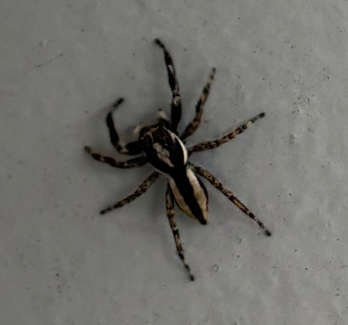
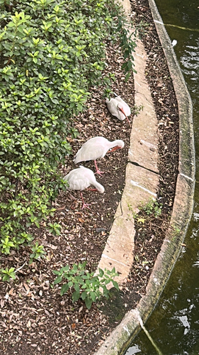
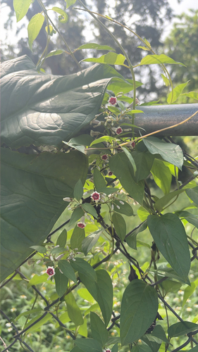
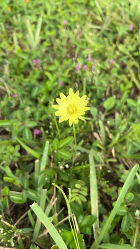
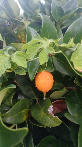
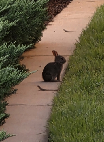
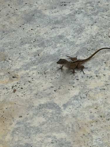
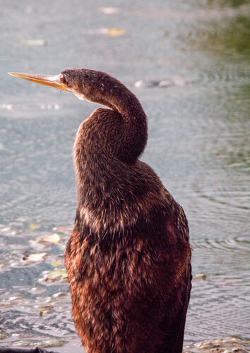
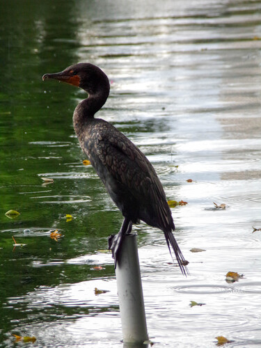
Research-grade observations from iNaturalist (within ~15 mi).
Nearest stream gauge
Live readings from USGS NWIS · measured 2026-09-24 14:45 UTC.
Events
Gallery
Sources
- • Wikipedia
- • US Census Bureau (ACS 5-year estimates)
- • Wikidata
- • USGS NWIS (water data)
- • iNaturalist
- • Open-Meteo / sunrise-sunset.org
- • Wikipedia Pageviews API
- • Open Library
- • NASA EONET