Browse / United States / Florida / Gun Club Estates
Gun Club Estates
FloridaCDP
Demographic figures from US Census Bureau · ACS 5-year estimates. Overview below cites Wikipedia and may reference a different year.
City facts
Overview
Gun Club Estates is a census-designated community that lies in Florida, United States. Its coordinates of 26.675°, -80.108° place it in the subtropical zone of the northern hemisphere. Up-to-date population figures for this locality are not available in the open datasets we monitor. It covers a compact 0.3 km² of land area. Climatically, locations at this latitude tend to experience hot summers and mild winters typical of the subtropics. Read on for charts and tables covering demographics, climate, hazards, schools, wildlife and other open-data indicators for Gun Club Estates.
Summary composed automatically from structured open data on this page. See our Terms for details.
History & geography
Demographics & economy
Geography
Coordinates & boundaries from the US Census TIGER/Line shapefiles.
Climate
Current forecast
Forecast for Gun Club Estates, FL from NOAA NWS API.
Air quality
Industrial & pollution facilities
Natural hazard risk
Health (adults)
Age-adjusted prevalence estimates from CDC PLACES (latest release).
Walkability
Amenities nearby
Wildlife & biodiversity
Schools
Largest nearby schools
- JOHN I. LEONARD HIGH SCHOOLHigh · GREENACRES · 3,549 students · 20.3:1 ratio
- PARK VISTA COMMUNITY HIGH SCHOOLHigh · LAKE WORTH · 3,191 students · 19.2:1 ratio
- PALM BEACH CENTRAL HIGH SCHOOLHigh · WELLINGTON · 2,980 students · 21.4:1 ratio
- PALM BEACH LAKES HIGH SCHOOLHigh · WEST PALM BEACH · 2,688 students · 23.4:1 ratio
- WELLINGTON HIGH SCHOOLHigh · WELLINGTON · 2,688 students · 19.5:1 ratio
- LAKE WORTH HIGH SCHOOLHigh · LAKE WORTH · 2,683 students · 17.9:1 ratio
- SANTALUCES COMMUNITY HIGHHigh · LANTANA · 2,675 students · 20.6:1 ratio
- FOREST HILL COMMUNITY HIGH SCHOOLHigh · WEST PALM BEACH · 2,407 students · 19.9:1 ratio
Public K–12 schools within ~10 mi from Urban Institute Education Data Portal (NCES Common Core of Data, 2022).
Earthquake history
Photos
Sights & places nearby
Notable people from here


People born within ~10 km, from Wikidata (CC0). Click any name for their Wikipedia article.
Geography & sun
Nearby airports
Public attention
Books about this place
Recent natural events nearby
- Wildfire S7, Broward, FloridaWildfires · 2026-09-04 · 34 mi
- Wildfire THE H1, Palm Beach, FloridaWildfires · 2026-08-15 · 45 mi
- Wildfire H2, Palm Beach, FloridaWildfires · 2026-08-24 · 46 mi
- Wildfire 3 ALPHA SIERRA, Broward, FloridaWildfires · 2026-09-28 · 48 mi
- Wildfire 22, Miami-Dade, FloridaWildfires · 2026-08-23 · 57 mi
- Wildfire THE RADIO TOWER, Miami-Dade, FloridaWildfires · 2026-08-15 · 70 mi
- Wildfire Bluegill, Miami-Dade, FloridaWildfires · 2026-08-02 · 71 mi
- Wildfire BLUE LAKE, Indian River, FloridaWildfires · 2026-09-15 · 83 mi
Wildfires, storms and other events from NASA EONET (last 12 months, within 250 mi).
Ground air-quality sensors
Recently spotted species
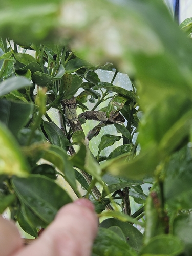
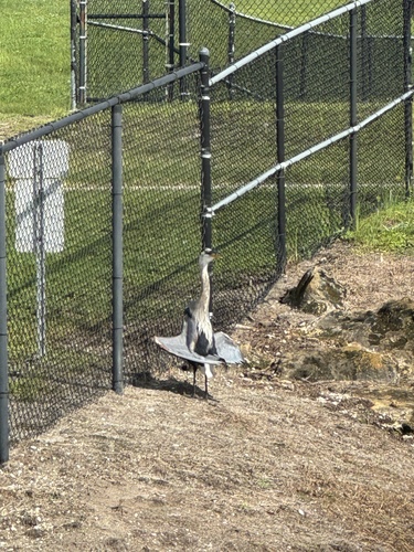
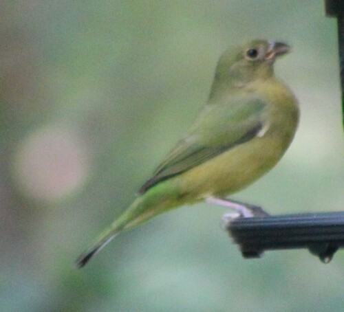
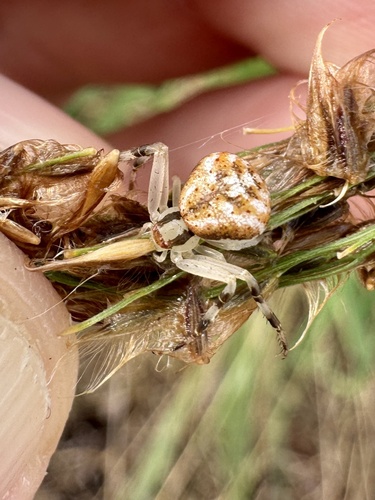
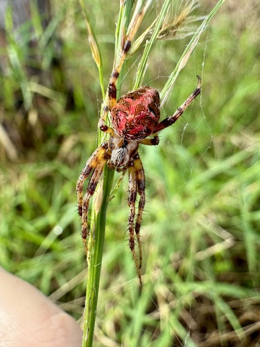
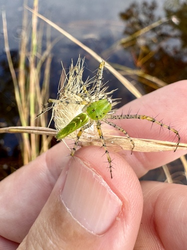
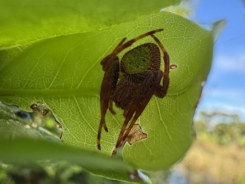
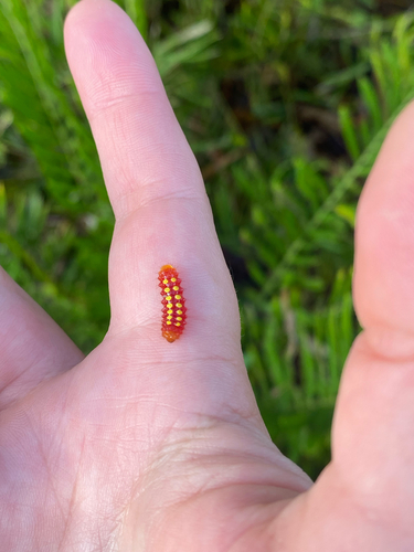
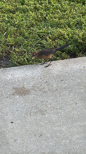
Research-grade observations from iNaturalist (within ~15 mi).
Nearest stream gauge
Live readings from USGS NWIS · measured 2026-10-18 04:45 UTC.
Events
Gallery
Sources
- • NOAA National Weather Service
- • Wikidata
- • USGS NWIS (water data)
- • NCES via Urban Institute Education Data Portal
- • iNaturalist
- • CDC PLACES
- • NASA EONET