Browse / United States / Florida / Lake Magdalene
Lake Magdalene
FloridaCDP

Lake Magdalene
Total population
32,083
Median home value
$371,800
Bachelor's+
Median income
$75,594
Demographic figures from US Census Bureau · ACS 5-year estimates. Overview below cites Wikipedia and may reference a different year.
City facts
Facts from Wikidata (CC0).
Overview
Lake Magdalene is a census-designated place (CDP) in Hillsborough County, Florida, United States. It is part of the Tampa Bay area. The population was 30,742 at the 2020 census.
Read more on WikipediaHistory & geography
History
As a rural community northwest of Tampa, this area of Hillsborough County had welcomed enough residents to receive its first post office in 1888, followed by a scattering of schools and churches—most notably the United Brethren Church (now Lake Magdalene United Methodist), started in 1895 by Reverend Isaac W. Bearss, whose family line still maintains several acres of citrus groves in the region, butted up against the busy east-west, North Tampa corridor that bears the family name. The rustic qualities of Lake Magdalene remained until the 1990s when residential construction in Tampa pushed northward. By 1990 almost 16,000 people lived in Lake Magdalene, The lake's name may come from the moniker of a Native American woman, Magdalena, who interpreted the language for a Spanish expedition into Florida in 1549, or the name may have resulted from the 1882 marriage in the community of John Parrish and Mary Magdalene Yates, daughter of Jonah Yates, first mayor of Plant City.
Geography
Lake Magdalene is located in northwestern Hillsborough County. It is bordered to the north by Lutz, to the east by the University neighborhood, to the south by the city of Tampa, to the southwest by Carrollwood, and to the west by Northdale. Interstate 275 forms the eastern edge of the CDP, and the Dale Mabry Highway (Florida State Road 597) forms the western edge. According to the United States Census Bureau, the community has a total area of , of which are land and , or 12.11%, are water. There are at least 11 named lakes in the CDP, the largest of which is Lake Magdalene near the center of the community.
Excerpted from the corresponding Wikipedia article (CC BY-SA).
Demographics & economy
Race & ethnicity
Source: US Census Bureau — American Community Survey, 5-year estimates.
Geography
Coordinates & boundaries from the US Census TIGER/Line shapefiles.
Climate
Current forecast
Forecast for Lake Magdalene, FL from NOAA NWS API.
Air quality
Industrial & pollution facilities
Natural hazard risk
Health (adults)
Age-adjusted prevalence estimates from CDC PLACES (latest release).
Walkability
Amenities nearby
Wildlife & biodiversity
Most-observed species
- Northern CardinalCardinalis cardinalis (Linnaeus, 1758) · Aves23,859
- Red-bellied WoodpeckerMelanerpes carolinus (Linnaeus, 1758) · Aves19,939
- Blue JayCyanocitta cristata (Linnaeus, 1758) · Aves19,467
- White IbisEudocimus albus (Linnaeus, 1758) · Aves19,096
- Tufted TitmouseBaeolophus bicolor (Linnaeus, 1766) · Aves18,052
- Mourning DoveZenaida macroura (Linnaeus, 1758) · Aves18,044
- Carolina WrenThryothorus ludovicianus (Latham, 1790) · Aves16,416
- American CrowCorvus brachyrhynchos C.L.Brehm, 1822 · Aves14,943
Citizen-science & research observations from the Global Biodiversity Information Facility (GBIF).
Schools
Largest nearby schools
- FLORIDA CONNECTIONS ACADEMYOther · TAMPA · 5,126 students · 36.1:1 ratio
- ALONSO HIGH SCHOOLHigh · TAMPA · 2,795 students · 23.9:1 ratio
- STEINBRENNER HIGH SCHOOLHigh · LUTZ · 2,475 students · 23.8:1 ratio
- SICKLES HIGH SCHOOLHigh · TAMPA · 2,368 students · 23.2:1 ratio
- WHARTON HIGH SCHOOLHigh · TAMPA · 2,289 students · 23.6:1 ratio
- GAITHER HIGH SCHOOLHigh · TAMPA · 2,123 students · 22.3:1 ratio
- LETO HIGH SCHOOLHigh · TAMPA · 2,062 students · 22.9:1 ratio
- TAMPA BAY TECH HIGH SCHOOLHigh · TAMPA · 2,015 students · 21.4:1 ratio
Public K–12 schools within ~10 mi from Urban Institute Education Data Portal (NCES Common Core of Data, 2022).
Earthquake history
Events from the USGS Earthquake Catalog (global) (FDSN Event Web Service).
Photos
Sights & places nearby
Notable people from here

People born within ~10 km, from Wikidata (CC0). Click any name for their Wikipedia article.
Nearby places in Florida
Geography & sun
Elevation, sunrise/sunset and daylight from Open-Meteo. Solar climatology from NASA POWER.
Nearby airports
Public attention
Pageview totals from the Wikimedia Pageviews API.
Books about this place
Recent natural events nearby
- Wildfire BLUE LAKE, Indian River, FloridaWildfires · 2026-09-15 · 110 mi
- Wildfire H2, Palm Beach, FloridaWildfires · 2026-08-24 · 155 mi
- Wildfire THE H1, Palm Beach, FloridaWildfires · 2026-08-15 · 159 mi
- Wildfire S7, Broward, FloridaWildfires · 2026-09-04 · 172 mi
- Wildfire Mitchell, Ware, GeorgiaWildfires · 2026-08-24 · 177 mi
- Wildfire 3 ALPHA SIERRA, Broward, FloridaWildfires · 2026-09-28 · 178 mi
- Wildfire 22, Miami-Dade, FloridaWildfires · 2026-08-23 · 190 mi
- Wildfire Bluegill, Miami-Dade, FloridaWildfires · 2026-08-02 · 198 mi
Wildfires, storms and other events from NASA EONET (last 12 months, within 250 mi).
Ground air-quality sensors
Recently spotted species
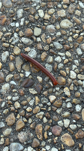
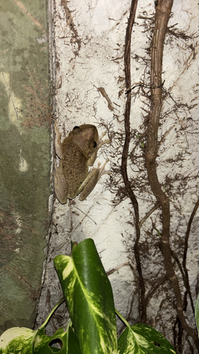
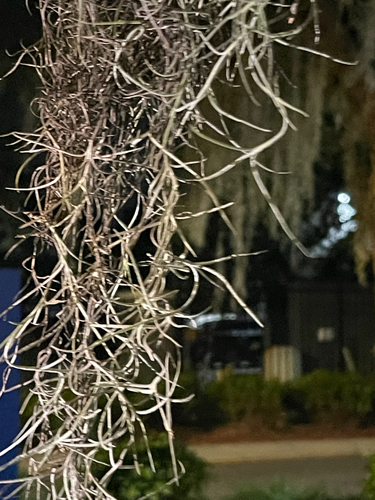
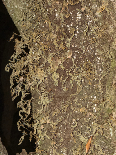
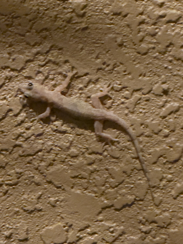
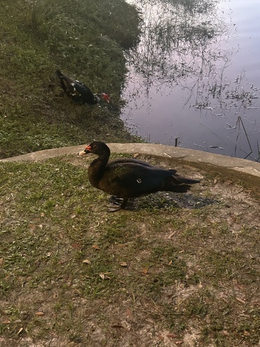
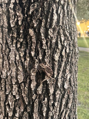
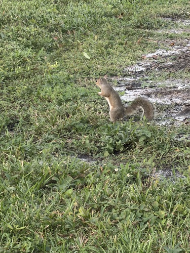
Research-grade observations from iNaturalist (within ~15 mi).
Nearest stream gauge
Live readings from USGS NWIS · measured 2026-10-16 11:00 UTC.
Events
Gallery
Sources
- • Wikipedia
- • US Census Bureau (ACS 5-year estimates)
- • NOAA National Weather Service
- • Wikidata
- • USGS Earthquake Catalog (global feed)
- • USGS NWIS (water data)
- • NCES via Urban Institute Education Data Portal
- • GBIF (Global Biodiversity Information Facility)
- • iNaturalist
- • CDC PLACES
- • Open-Meteo / sunrise-sunset.org
- • Wikipedia Pageviews API
- • NASA EONET