Browse / United States / Florida / Naples
Naples
Floridacity

Naples
Total population
19,704
Median home value
$1,525,600
Bachelor's+
Median income
$153,182
Founded
1886
Air quality index
Demographic figures from US Census Bureau · ACS 5-year estimates. Overview below cites Wikipedia and may reference a different year.
City facts
Sister cities
Facts from Wikidata (CC0).
Overview
Naples is a city in Collier County, Florida, United States. As of the 2020 census, the population was 19,115, down from 19,539 at the 2010 census. Naples is a principal city of the Naples–Marco Island metropolitan area, which had a population of about 375,752 as of 2020.
Read more on WikipediaHistory & geography
History
Before the period of European colonization, the indigenous Calusa lived in Florida (including the region of present-day Naples) for thousands of years, from Charlotte Harbor to Cape Sable. In 1513, Spanish conquistador Juan Ponce de León explored the region and encountered the Calusa, who resisted the first Spanish attempts to establish a colony in Florida. However, decades later, Florida was finally incorporated into the Spanish Empire. In the early 18th century, following slave raids from Muscogee and Yamasee raiders allied with European settlers in Carolina, the majority of the remaining Calusa moved south and east to escape the raids. The city of Naples was founded in 1886 by former Confederate general and Kentucky U.S. Senator John Stuart Williams and his partner, Louisville businessman Walter N. Haldeman, the publisher of the Louisville Courier-Journal. Throughout the 1870s and 1880s, magazines and newspapers ran stories about the area's mild climate and abundant fish and likened it to the sunny Italian Peninsula. The name Naples caught on when promoters described the bay as "surpassing the bay in Naples, Italy". With a population of approximately 80 in 1888, Naples saw the opening of its pier that year and welcomed its first hotel the following year. Major development was anticipated after Collier County was established in 1923, the completion of the Seaboard Air Line Railroad extension in 1927, and the completion of the Tamiami Trail linking Naples to Miami in 1928, but did not begin until after the 1929 Stock market crash, the Great Depression, and World War II. During the war the U.S. Army Air Forces built a small airfield and used it for training purposes; it is now the Naples Municipal Airport. In 1938, John Glenn Sample, a pioneer in radio advertising…
Geography
Naples is located in southwest Florida on U.S. Highway 41 between Miami to the east and Fort Myers to the north. According to the United States Census Bureau, the city has a total area of , of which is land and , or 25.09%, is water. National Weather Service records that date back to 1851, indicate 74 tropical storms have passed within of Naples, or once every 2.2 years (as of a 2014 data). 2005 Hurricane Wilma (Category 5) – Wilma reached maximum wind strength of , but its winds were when it made landfall near Cape Romano (below Naples, just beyond the southwestern tip of Marco Island and northwest of the Ten Thousand Islands in Collier County). Wilma caused 87 deaths and $22.4 billion in damage. 2017 Hurricane Irma (Category 5) – Irma had maximum wind strength of , but when it made landfall near Marco Island, its winds were . As Irma hit Florida, tropical-storm-force winds extended out to from the center and hurricane-force winds extended up to . This storm left over 7.5 million homes (70% of the state) without electricity for days. Irma caused 134 deaths and $50 billion in damage. 2022 Hurricane Ian (Category 5) – Ian had a maximum wind strength of while approaching Florida, and it made landfall at Cayo Costa slightly below peak strength as a Category 4 hurricane with sustained winds of . Power was lost to much of the Naples area including Pelican Bay and Bay Colony for several days, but repairs allowed power to be turned back on, beginning on October 1, 2022. Ian caused 149 deaths in the state of Florida and an estimated $989 million in damages to the city of Naples and approximately $2.2 billion in damages to buildings in Collier County. 2024 Hurricane Milton (Category 5) – Milton had a maximum wind strength of 180 miles per hour (285 km/h) just…
Excerpted from the corresponding Wikipedia article (CC BY-SA).
Demographics & economy
Race & ethnicity
Source: US Census Bureau — American Community Survey, 5-year estimates.
Geography
Coordinates & boundaries from the US Census TIGER/Line shapefiles.
Climate
10-year averages from ERA5 reanalysis (Open-Meteo).
Current forecast
Forecast for Naples, FL from NOAA NWS API.
Air quality
Current readings from Open-Meteo Air Quality API (Copernicus CAMS European reanalysis).
Industrial & pollution facilities
Natural hazard risk
Health (adults)
Age-adjusted prevalence estimates from CDC PLACES (latest release).
Walkability
Amenities nearby
Wildlife & biodiversity
Most-observed species
- Northern MockingbirdMimus polyglottos (Linnaeus, 1758) · Aves18,154
- Blue JayCyanocitta cristata (Linnaeus, 1758) · Aves15,974
- Red-bellied WoodpeckerMelanerpes carolinus (Linnaeus, 1758) · Aves15,598
- Mourning DoveZenaida macroura (Linnaeus, 1758) · Aves15,409
- White IbisEudocimus albus (Linnaeus, 1758) · Aves13,809
- Common GrackleQuiscalus quiscula (Linnaeus, 1758) · Aves13,034
- Northern CardinalCardinalis cardinalis (Linnaeus, 1758) · Aves12,430
- OspreyPandion haliaetus (Linnaeus, 1758) · Aves12,054
Citizen-science & research observations from the Global Biodiversity Information Facility (GBIF).
Schools
Largest nearby schools
- GULF COAST HIGH SCHOOLHigh · NAPLES · 2,447 students · 24.7:1 ratio
- GOLDEN GATE HIGH SCHOOLHigh · NAPLES · 1,764 students · 23.8:1 ratio
- NAPLES HIGH SCHOOLHigh · NAPLES · 1,719 students · 21.8:1 ratio
- BARRON COLLIER HIGH SCHOOLHigh · NAPLES · 1,650 students · 24.6:1 ratio
- LELY HIGH SCHOOLHigh · NAPLES · 1,504 students · 23.5:1 ratio
- MASON CLASSICAL ACADEMYOther · NAPLES · 1,429 students · 15:1 ratio
- LAUREL OAK ELEMENTARY SCHOOLElementary · NAPLES · 1,203 students · 16:1 ratio
- GOLDEN GATE MIDDLE SCHOOLMiddle · NAPLES · 1,054 students · 19.9:1 ratio
Public K–12 schools within ~10 mi from Urban Institute Education Data Portal (NCES Common Core of Data, 2022).
Earthquake history
Events from the USGS Earthquake Catalog (global) (FDSN Event Web Service).
Photos
Sights & places nearby
Notable people from here


People born within ~10 km, from Wikidata (CC0). Click any name for their Wikipedia article.
Geography & sun
Elevation, sunrise/sunset and daylight from Open-Meteo. Solar climatology from NASA POWER.
Nearby airports
Public attention
Pageview totals from the Wikimedia Pageviews API.
Books about Naples


Search results from Open Library.
Recent natural events nearby
- Wildfire Charger 2, Collier, FloridaWildfires · 2026-07-15 · 47 mi
- Wildfire BERGER (50), Palm Beach, FloridaWildfires · 2026-07-17 · 62 mi
- Wildfire Platt Trap (22), Glades, FloridaWildfires · 2026-06-24 · 66 mi
- Wildfire Orange Hammock (58), Sarasota, FloridaWildfires · 2026-06-23 · 67 mi
- Wildfire Black Bird Ranch (14), DeSoto, FloridaWildfires · 2026-06-30 · 68 mi
- Wildfire Avocado, Monroe, FloridaWildfires · 2026-07-07 · 74 mi
- Wildfire CARLTON EAST, Sarasota, FloridaWildfires · 2026-06-28 · 76 mi
- Wildfire Mile Marker 40- Broward (06), Broward, FloridaWildfires · 2026-07-16 · 78 mi
Wildfires, storms and other events from NASA EONET (last 12 months, within 250 mi).
Ground air-quality sensors
Recently spotted species
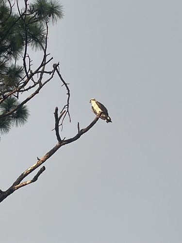
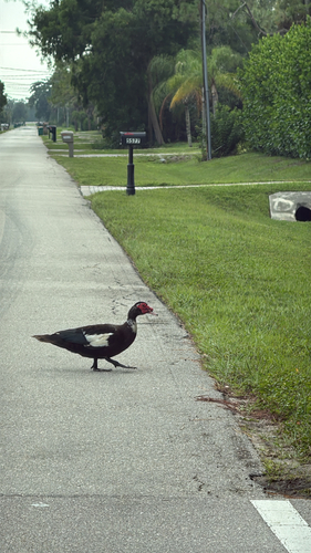
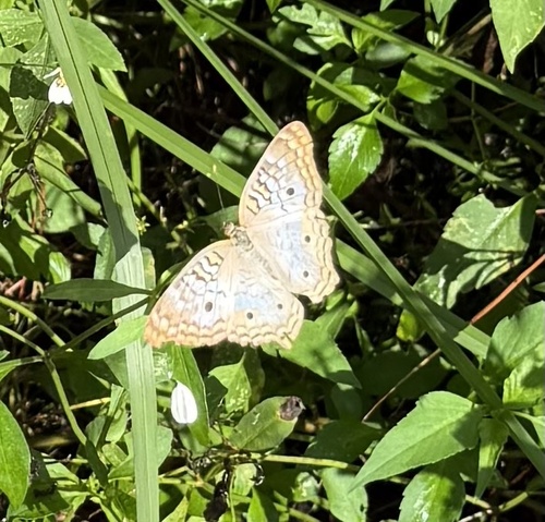
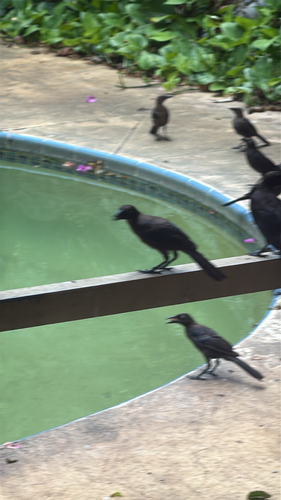
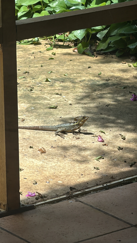
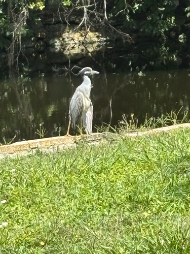
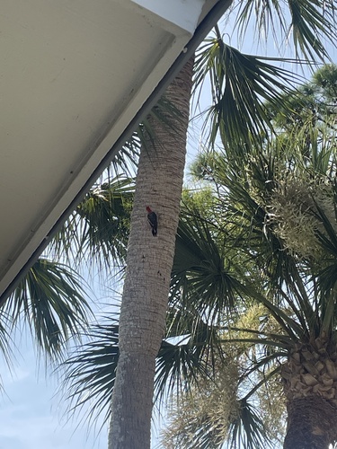
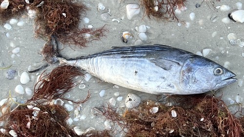
Research-grade observations from iNaturalist (within ~15 mi).
Nearest stream gauge
Live readings from USGS NWIS · measured 2026-07-25 08:45 UTC.
Events
Notable, recurring, and historical events associated with Naples, sourced from Wikidata.
Source: Wikidata (CC0).
Gallery
Geotagged photos within ~6 miles of Naples, from Wikimedia Commons contributors.
 0.5 mi
 0.5 mi
.jpeg) 0.5 mi
0.5 mi.jpeg) 0.5 mi
0.5 mi 0.6 mi
 0.6 mi
 0.6 mi
 0.6 mi
 0.6 mi
 0.6 mi
.jpeg) 0.6 mi
0.6 mi.jpeg) 0.6 mi
0.6 mi 0.6 mi
 0.7 mi
 0.7 mi
.jpg) 0.7 mi
0.7 mi.jpg) 0.8 mi
0.8 mi.jpg) 0.8 mi
0.8 mi.jpg) 0.8 mi
0.8 mi.jpg) 0.8 mi
0.8 mi.jpg) 0.8 mi
0.8 mi.jpg) 0.8 mi
0.8 mi.jpg) 0.8 mi
0.8 mi.jpg) 0.8 mi
0.8 miPhotos via Wikimedia Commons — see each image page for license & attribution.
Sources
- • Wikipedia
- • US Census Bureau (ACS 5-year estimates)
- • Open-Meteo (ERA5 reanalysis)
- • NOAA National Weather Service
- • Wikimedia Commons
- • Wikidata
- • Open-Meteo Air Quality (CAMS)
- • USGS Earthquake Catalog (global feed)
- • USGS NWIS (water data)
- • NCES via Urban Institute Education Data Portal
- • GBIF (Global Biodiversity Information Facility)
- • iNaturalist
- • CDC PLACES
- • Open-Meteo / sunrise-sunset.org
- • Wikipedia Pageviews API
- • Open Library
- • NASA EONET