Browse / United States / Florida / Ormond Beach
Ormond Beach
Floridacity

Ormond Beach
Total population
43,976
Median home value
$354,800
Bachelor's+
Median income
$69,177
Founded
1875
Air quality index
Demographic figures from US Census Bureau · ACS 5-year estimates. Overview below cites Wikipedia and may reference a different year.
- Rip Current Statement · ModerateRip Current Statement issued June 2 at 10:46AM EDT until June 5 at 4:00AM EDT by NWS Melbourne FL
Source: NOAA National Weather Service.
City facts
Facts from Wikidata (CC0).
Overview
Ormond Beach is a city in Volusia County, Florida, United States. The population was 43,080 at the 2020 census. Ormond Beach lies directly north of Daytona Beach and is a principal city of the Deltona–Daytona Beach–Ormond Beach, FL Metropolitan Statistical Area. The city is known as the birthplace of speed, as early adopters of motorized cars flocked to its hard-packed beaches for yearlong entertainment, since paved roads were not yet commonplace. Ormond Beach lies in Central Eastern Florida.
Read more on WikipediaHistory & geography
History
The Timucuan town of Nocoroco was located where the Tomoka River joins the Halifax River, just north of present-day Ormond Beach, when Álvaro Mexía passed through it in 1605 on a mission to establish relations between Spanish Florida and the Surruque and Ais peoples of the coast of what are now Volusia and Brevard counties. Little is known of what happened to inhabitants of the area after Mexía's visit. The city is named for James Ormond I, an Anglo-Irish-Scottish sea captain commissioned by King Ferdinand VII of Spain to bring Franciscan settlers to this part of Florida. Ormond had served Britain and Spain in the Napoleonic Wars as a ship captain, and was rewarded for his services to Spain by King Ferdinand VII. Ormond later worked for the Scottish Indian trade company of Panton, Leslie & Company, and his armed brig was called the "Somerset". After returning to Spanish control, in 1821, Florida was acquired from Spain by the United States, but hostilities during the Second Seminole War delayed settlement until after 1842. In 1875, the community was founded as New Britain by inhabitants from New Britain, Connecticut, but would be incorporated on April 22, 1880, as the Town of Ormond for its early plantation owner. With its hard, white beach, Ormond became popular for the wealthy seeking relief from northern winters during the Floridian boom in tourism following the Civil War. The St. Johns and Halifax Railway arrived in 1886, and the first bridge across the Halifax River was built in 1887. John Anderson and James Downing Price opened the Ormond Hotel on January 1, 1888. Henry Flagler bought the hotel in 1890 and expanded it to accommodate 600 guests. It would be one in a series of Gilded Age hotels catering to passengers aboard his Florida East Coast…
Geography
According to the United States Census Bureau, the city has a total area of , of which is land, and (18.12%) is water. Drained by the Tomoka River, Ormond Beach is located on the Halifax River lagoon and the Atlantic Ocean. The climate in this area is characterized by hot, humid summers and generally mild winters. According to the Köppen climate classification, the City of Ormond Beach has a humid subtropical climate zone (Cfa).
Excerpted from the corresponding Wikipedia article (CC BY-SA).
Demographics & economy
Race & ethnicity
Source: US Census Bureau — American Community Survey, 5-year estimates.
Geography
Coordinates & boundaries from the US Census TIGER/Line shapefiles.
Climate
Current forecast
Forecast for Ormond Beach, FL from NOAA NWS API.
Air quality
Current readings from Open-Meteo Air Quality API (Copernicus CAMS European reanalysis).
Industrial & pollution facilities
Natural hazard risk
Health (adults)
Age-adjusted prevalence estimates from CDC PLACES (latest release).
Walkability
Amenities nearby
Wildlife & biodiversity
Most-observed species
- Northern CardinalCardinalis cardinalis (Linnaeus, 1758) · Aves3,284
- Brown PelicanPelecanus occidentalis Linnaeus, 1766 · Aves3,227
- Laughing GullLeucophaeus atricilla (Linnaeus, 1758) · Aves2,906
- Snowy EgretEgretta thula (Molina, 1782) · Aves2,667
- Mourning DoveZenaida macroura (Linnaeus, 1758) · Aves2,513
- OspreyPandion haliaetus (Linnaeus, 1758) · Aves2,481
- Turkey VultureCathartes aura (Linnaeus, 1758) · Aves2,479
- Red-bellied WoodpeckerMelanerpes carolinus (Linnaeus, 1758) · Aves2,390
Citizen-science & research observations from the Global Biodiversity Information Facility (GBIF).
Schools
Largest nearby schools
- MAINLAND HIGH SCHOOLHigh · DAYTONA BEACH · 1,855 students · 20.4:1 ratio
- SEABREEZE HIGH SCHOOLHigh · DAYTONA BEACH · 1,654 students · 22.4:1 ratio
- HOLLY HILL SCHOOLElementary · HOLLY HILL · 1,149 students · 16:1 ratio
- ORMOND BEACH MIDDLE SCHOOLMiddle · ORMOND BEACH · 990 students · 17.4:1 ratio
- DAVID C. HINSON SR. MIDDLE SCHOOLMiddle · DAYTONA BEACH · 950 students · 18.3:1 ratio
- CAMPBELL MIDDLE SCHOOLMiddle · DAYTONA BEACH · 855 students · 20.9:1 ratio
- PATHWAYS ELEMENTARY SCHOOLElementary · ORMOND BEACH · 724 students · 13.2:1 ratio
- TOMOKA ELEMENTARY SCHOOLElementary · ORMOND BEACH · 709 students · 16.1:1 ratio
Public K–12 schools within ~10 mi from Urban Institute Education Data Portal (NCES Common Core of Data, 2022).
Earthquake history
Events from the USGS Earthquake Catalog (global) (FDSN Event Web Service).
Photos
Sights & places nearby
Notable people from here


People born within ~10 km, from Wikidata (CC0). Click any name for their Wikipedia article.
Nearby places in Florida
Geography & sun
Elevation, sunrise/sunset and daylight from Open-Meteo. Solar climatology from NASA POWER.
Nearby airports
Public attention
Pageview totals from the Wikimedia Pageviews API.
Books about Ormond Beach


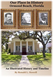
Search results from Open Library.
Recent natural events nearby
- Wildfire BLUE LAKE, Indian River, FloridaWildfires · 2026-09-15 · 110 mi
- Wildfire Mitchell, Ware, GeorgiaWildfires · 2026-08-24 · 115 mi
- Wildfire Main Trail, Chatham, GeorgiaWildfires · 2026-08-14 · 178 mi
- Wildfire H2, Palm Beach, FloridaWildfires · 2026-08-24 · 199 mi
- Wildfire THE H1, Palm Beach, FloridaWildfires · 2026-08-15 · 203 mi
- Wildfire S7, Broward, FloridaWildfires · 2026-09-04 · 208 mi
- Wildfire 3 ALPHA SIERRA, Broward, FloridaWildfires · 2026-09-28 · 220 mi
- Wildfire 22, Miami-Dade, FloridaWildfires · 2026-08-23 · 234 mi
Wildfires, storms and other events from NASA EONET (last 12 months, within 250 mi).
Ground air-quality sensors
Recently spotted species
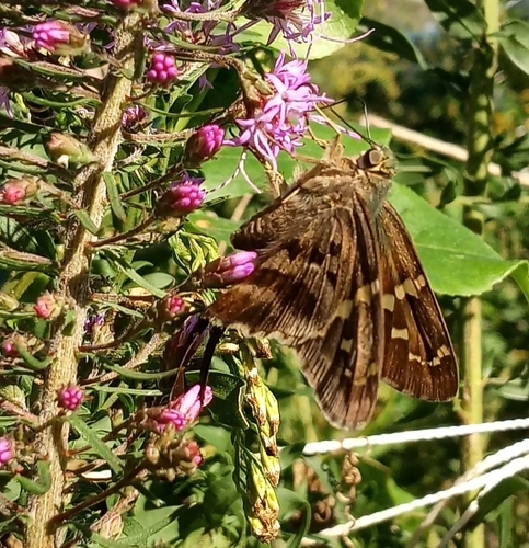
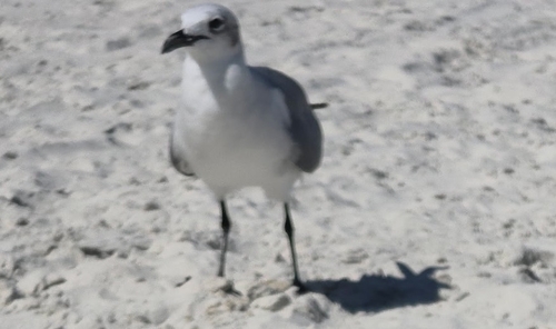
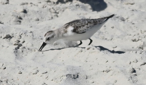
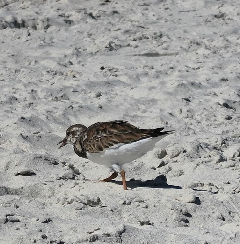
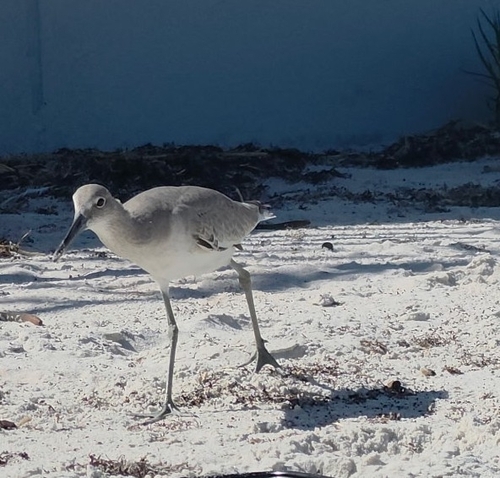
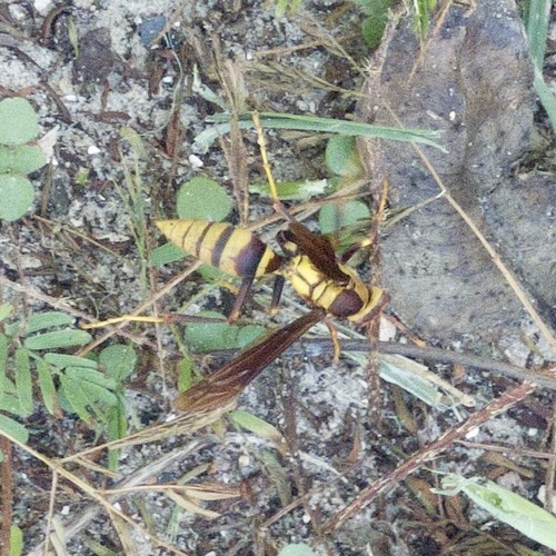
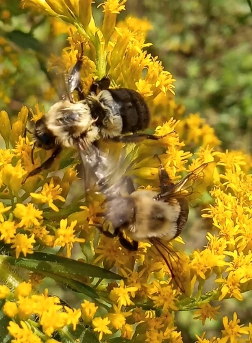
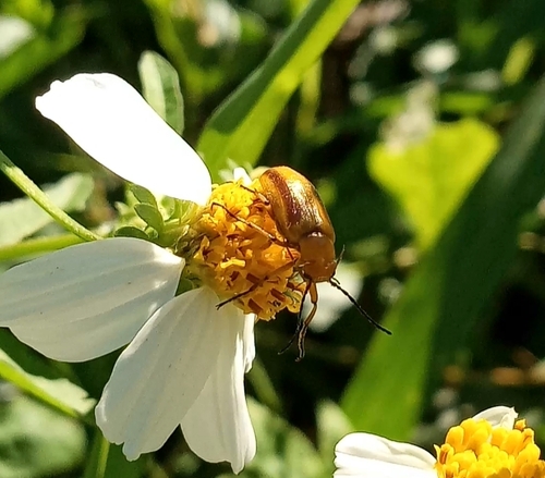
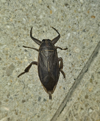
Research-grade observations from iNaturalist (within ~15 mi).
Nearest stream gauge
Live readings from USGS NWIS · measured 2026-10-16 20:30 UTC.
Events
Gallery
Sources
- • Wikipedia
- • US Census Bureau (ACS 5-year estimates)
- • NOAA National Weather Service
- • Wikidata
- • Open-Meteo Air Quality (CAMS)
- • USGS Earthquake Catalog (global feed)
- • USGS NWIS (water data)
- • NCES via Urban Institute Education Data Portal
- • GBIF (Global Biodiversity Information Facility)
- • iNaturalist
- • CDC PLACES
- • Open-Elevation
- • Open-Meteo / sunrise-sunset.org
- • Wikipedia Pageviews API
- • Open Library
- • NASA EONET
- • Wikidata SPARQL (CC0) — population, area, elevation, inception, head of government, Commons image