Browse / United States / Florida / Palm Bay
Palm Bay
Floridacity

Palm Bay
Total population
142,035
Median home value
$334,400
Bachelor's+
Median income
$77,638
Founded
1960
Demographic figures from US Census Bureau · ACS 5-year estimates. Overview below cites Wikipedia and may reference a different year.
City facts
Facts from Wikidata (CC0).
Overview
Palm Bay is a city in Brevard County, Florida, United States. The city's population was 119,760 at the 2020 United States census, up from 103,190 at the 2010 census, making it the most populous city in the county and the largest by land mass. The historic section of the city lies on the mouth of the Turkey Creek and the Palm Bay. Palm Bay has historically expanded south and to the west. The newer section is mostly situated west of Interstate 95 and south of the Tillman Canal.
Read more on WikipediaHistory & geography
History
The Ais people, attracted to the mouth of Turkey Creek at the Indian River by freshwater springs, fish, oysters, and wildlife, are thought to have been the first inhabitants in the Palm Bay area. The earliest place names for this area on early maps of the late 1700s were Turkey Creek, Elbow Creek and Crane Creek. An 1870 map of the Indian River by John Andrew Bostrom shows the area void of any settlements within about 15 miles of Turkey Creek. The first prominent European-American settler was John Tillman in the late 1870s. Tillman's wharf marked the mouth of Turkey Creek at what became known as Palm Bay on the Indian River. By the mid-19th century, there was a lumber operation, orange groves, and packing house. Growth was slow until the arrival of the railroad in 1894. Then goods were brought in and produce was shipped to market faster. Between 1910 and 1914, a land company known as the Indian River Catholic Colony became established at Tillman. Attempting to grow two crops a season, farmers quickly depleted the soil, and the colony failed. Those remaining built St. Joseph's Church on Miller Street, the oldest building still standing. In the 1920s, the city was renamed as Palm Bay, after the bay bordered with sabal palm trees known as Palm Bay, located at the mouth of Turkey Creek. In 1926, a fire among the dredges and a severe hurricane caused extensive damage, leading to an economic downturn in Palm Bay. The Melbourne-Tillman Drainage District went bankrupt. In 1959, General Development Corporation purchased and platted extensive tracts of land in Palm Bay for a large residential project known as Port Malabar. The city of Palm Bay incorporated on January 16, 1960. Prior to expanding its borders, the city population was 2,808 that year. The active development…
Geography
According to the United States Census Bureau, the city has a total area of , of which is land and , or 4.56%, is water. The city is often referred to in four quadrants: Northwest, Northeast, Southwest, and Southeast, each containing multiple zip codes. The most urban area is in Northeast. The most rural area is in Southwest, containing an area called The Compound. This area is home to Bombardier Recreational Products. “The compound” area is primarily used by recreational off road vehicles and persons engaging in various recreational activities. During the early 1990s, Fred Poppe Regional Park (formerly Palm Bay Regional Park), a soccer and athletic complex in the western part of the city, was constructed. It is the largest of a citywide system of parks and recreation areas. The Turkey Creek Sanctuary is a small nature reserve in the northeast part of the city. The climate in this area is characterized by hot, humid summers and generally mild winters. According to the Köppen climate classification, the City of Palm Bay has a humid subtropical climate zone (Cfa). * St. Johns River; Sawgrass Lake; Lake Hell 'n Blazes; Osceola County * Grant-Valkaria; Malabar; Indian River Lagoon * West Melbourne; Melbourne * Indian River County
Excerpted from the corresponding Wikipedia article (CC BY-SA).
Demographics & economy
Race & ethnicity
Source: US Census Bureau — American Community Survey, 5-year estimates.
Geography
Coordinates & boundaries from the US Census TIGER/Line shapefiles.
Climate
Current forecast
Forecast for Palm Bay, FL from NOAA NWS API.
Air quality
Industrial & pollution facilities
Natural hazard risk
Health (adults)
Age-adjusted prevalence estimates from CDC PLACES (latest release).
Walkability
Amenities nearby
Wildlife & biodiversity
Most-observed species
- Red-bellied WoodpeckerMelanerpes carolinus (Linnaeus, 1758) · Aves9,148
- Mourning DoveZenaida macroura (Linnaeus, 1758) · Aves9,147
- Northern CardinalCardinalis cardinalis (Linnaeus, 1758) · Aves8,922
- OspreyPandion haliaetus (Linnaeus, 1758) · Aves8,469
- Blue JayCyanocitta cristata (Linnaeus, 1758) · Aves7,499
- Fish CrowCorvus ossifragus A.Wilson, 1812 · Aves7,376
- White IbisEudocimus albus (Linnaeus, 1758) · Aves7,095
- Turkey VultureCathartes aura (Linnaeus, 1758) · Aves6,919
Citizen-science & research observations from the Global Biodiversity Information Facility (GBIF).
Schools
Largest nearby schools
- MELBOURNE SENIOR HIGH SCHOOLHigh · MELBOURNE · 2,249 students · 23.2:1 ratio
- HERITAGE HIGH SCHOOLHigh · PALM BAY · 2,007 students · 22.3:1 ratio
- BAYSIDE HIGH SCHOOLHigh · PALM BAY · 1,854 students · 22.9:1 ratio
- ODYSSEY CHARTER SCHOOLOther · PALM BAY · 1,847 students · 22:1 ratio
- PALM BAY MAGNET SENIOR HIGH SCHOOLHigh · MELBOURNE · 1,486 students · 20.9:1 ratio
- CENTRAL MIDDLE SCHOOLMiddle · WEST MELBOURNE · 1,127 students · 17.3:1 ratio
- PINEAPPLE COVE CLASSICAL ACADEMYOther · PALM BAY · 1,044 students · 16.1:1 ratio
- SOUTHWEST MIDDLE SCHOOLMiddle · PALM BAY · 920 students · 20:1 ratio
Public K–12 schools within ~10 mi from Urban Institute Education Data Portal (NCES Common Core of Data, 2022).
Earthquake history
Most recent
- M 2.5 — 2026-05-29Blue Origin New Glenn rocket explosion
Events from the USGS Earthquake Catalog (global) (FDSN Event Web Service).
Photos
Sights & places nearby
Notable people from here


People born within ~10 km, from Wikidata (CC0). Click any name for their Wikipedia article.
Nearby places in Florida
Geography & sun
Elevation, sunrise/sunset and daylight from Open-Meteo. Solar climatology from NASA POWER.
Nearby airports
Public attention
Pageview totals from the Wikimedia Pageviews API.
Books about Palm Bay


Search results from Open Library.
Recent natural events nearby
- Wildfire BLUE LAKE, Indian River, FloridaWildfires · 2026-09-15 · 16 mi
- Wildfire H2, Palm Beach, FloridaWildfires · 2026-08-24 · 107 mi
- Wildfire THE H1, Palm Beach, FloridaWildfires · 2026-08-15 · 110 mi
- Wildfire S7, Broward, FloridaWildfires · 2026-09-04 · 114 mi
- Wildfire 3 ALPHA SIERRA, Broward, FloridaWildfires · 2026-09-28 · 127 mi
- Wildfire 22, Miami-Dade, FloridaWildfires · 2026-08-23 · 140 mi
- Wildfire Bluegill, Miami-Dade, FloridaWildfires · 2026-08-02 · 153 mi
- Wildfire THE RADIO TOWER, Miami-Dade, FloridaWildfires · 2026-08-15 · 156 mi
Wildfires, storms and other events from NASA EONET (last 12 months, within 250 mi).
Ground air-quality sensors
Recently spotted species
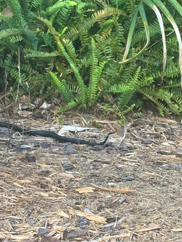
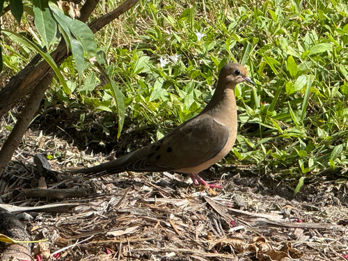
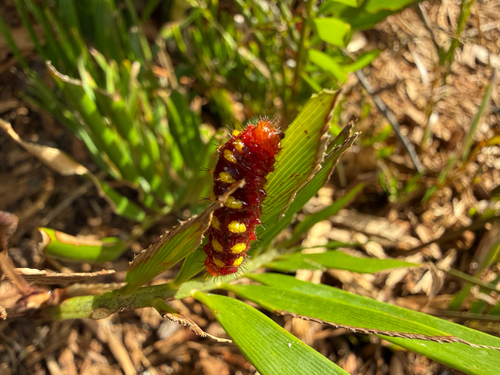
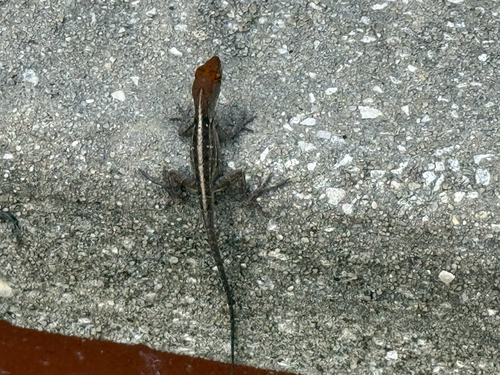
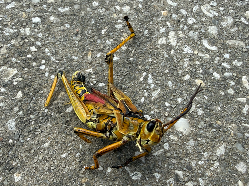
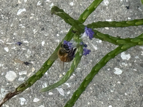
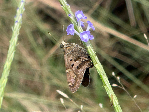
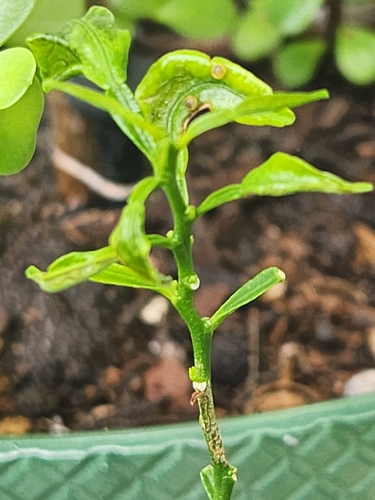
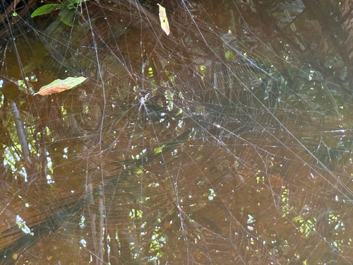
Research-grade observations from iNaturalist (within ~15 mi).
Nearest stream gauge
Live readings from USGS NWIS · measured 2026-10-16 03:45 UTC.
Events
Gallery
Sources
- • Wikipedia
- • US Census Bureau (ACS 5-year estimates)
- • NOAA National Weather Service
- • Wikidata
- • USGS Earthquake Catalog (global feed)
- • USGS NWIS (water data)
- • NCES via Urban Institute Education Data Portal
- • GBIF (Global Biodiversity Information Facility)
- • iNaturalist
- • CDC PLACES
- • Open-Meteo / sunrise-sunset.org
- • Wikipedia Pageviews API
- • Open Library
- • NASA EONET