Browse / United States / Florida / Port St. Lucie
Port St. Lucie
Floridacity

Port St. Lucie
Total population
258,578
Median home value
$420,600
Bachelor's+
Median income
$86,241
Founded
1961
Demographic figures from US Census Bureau · ACS 5-year estimates. Overview below cites Wikipedia and may reference a different year.
City facts
Facts from Wikidata (CC0).
Overview
Port St. Lucie is a city in St. Lucie County, Florida, United States. It is the most-populous municipality in the county and the sixth-most populous city in Florida, with a population of 204,851 at the 2020 census. It is located 125 miles (201 km) southeast of Orlando and 113 miles (182 km) north of Miami. It is a principal city in the Port St. Lucie metropolitan statistical area, which includes St. Lucie and Martin Counties, and as of 2021 had an estimated population of 502,521. Port St. Lucie is also a principal city in the Miami-Fort Lauderdale-Port St. Lucie combined statistical area, which had an estimated population of 6,841,100 as of 2021. It is one of the cities of the Treasure Coast area.
Read more on WikipediaHistory & geography
History
The name "St. Lucie" is originally derived from the name of a settlement near Jupiter Inlet, which was founded on St. Lucia's Day in 1566. Due to numerous errors, the name later came to be associated with the present-day town of St. Lucie Village, Florida, north of present-day Port St. Lucie. After La Florida and St. Augustine, it is the oldest still-in-use European place name in the United States. In the early 1890s, an early pioneer settlement named Spruce Bluff was located along the St. Lucie River, which consisted of a community of several families with a school, post office, pineapple plantation, and sawmill. Currently, the land the settlement was located on is part of the Spruce Bluff Preserve. Along with an old cemetery near the old settlement, the preserve also contains a hiking area, canoe access, observation areas, and a prehistoric Ais Indian mound located on the southern end of the preserve. In the 1950s, the land that eventually became Port St. Lucie was a largely uninhabited tract of land south of White City, composed of a fishing camp (Burt Pruitt's Fishin' Farm) along the St. Lucie River, a few farms and businesses near U.S. 1. In 1958, with a budget of $50 million, the General Development Corporation (GDC) purchased the River Park development and along the North Fork of the St. Lucie River. In 1959, the GDC opened its first bridge over the St. Lucie River, allowing for direct automobile access to Port St. Lucie. By February 25, 1961, 250 homes were in the new city. GDC requested the state legislature to incorporate , along with the River Park settlement, into the City of Port St. Lucie. River Park did not incorporate into the city at the request of its residents. Port St. Lucie became a city on April 27, 1961, with the passage of House Bill No. 953,…
Geography
According to the United States Census Bureau, the city has a total area of , of which (1.50%) are covered by water. In late 2019, Port St. Lucie began naming different neighborhoods throughout the city. As of 2020, 33 neighborhoods are named in Port St. Lucie: {| |valign="top" width=25%| * Bayshore Business District * Bayshore Heights * Becker Ridge * Canal Pointe * Cashmere Cove * Crane Landing * Fairgreen Crossing * Floresta Gardens * Floresta Pointe * Gatlin Pines * Hidden Oaks |valign="top" width=25%| * Lyngate * Morningside * Newport Isles * Northport Village * Oak Hammock * Paar Estates * Palm Trails * Riverview * Rosser Reserve * Sandhill Crossing * Sandpiper Bay |valign="top" width=25%| * Sawgrass Lakes * Southbend Lakes * St. Lucie North * St. Lucie West * Swan Park * Torino * Tradition * Tulip Park * Veranda * Whispering Pines * Woodland Trails |} Port St. Lucie is located in the broad transition zone between a humid subtropical climate (Cfa), which prevails in Central Florida, and within the northern extent of the tropical climate typical of South Florida. Summers are usually hot, with high temperatures averaging in the low 90°Fs. Winters are usually mild to warm, with average high temperatures in the 70s. The average yearly precipitation is around 53.5 in. In 2004 and 2005, Port St. Lucie was hit directly by three hurricanes: Frances (category 2), Jeanne (category 3), and Wilma (category 3).
Excerpted from the corresponding Wikipedia article (CC BY-SA).
Demographics & economy
Race & ethnicity
Source: US Census Bureau — American Community Survey, 5-year estimates.
Geography
Coordinates & boundaries from the US Census TIGER/Line shapefiles.
Climate
Air quality
Industrial & pollution facilities
Natural hazard risk
Health (adults)
Walkability
Amenities nearby
Wildlife & biodiversity
Most-observed species
- Mourning DoveZenaida macroura (Linnaeus, 1758) · Aves8,235
- Northern CardinalCardinalis cardinalis (Linnaeus, 1758) · Aves7,719
- Red-bellied WoodpeckerMelanerpes carolinus (Linnaeus, 1758) · Aves7,204
- Blue JayCyanocitta cristata (Linnaeus, 1758) · Aves6,865
- Boat-tailed GrackleQuiscalus major Vieillot, 1819 · Aves6,368
- White IbisEudocimus albus (Linnaeus, 1758) · Aves6,078
- Northern MockingbirdMimus polyglottos (Linnaeus, 1758) · Aves5,670
- Fish CrowCorvus ossifragus A.Wilson, 1812 · Aves5,043
Citizen-science & research observations from the Global Biodiversity Information Facility (GBIF).
Schools
Earthquake history
Events from the USGS Earthquake Catalog (global) (FDSN Event Web Service).
Photos
Sights & places nearby
Notable people from here


People born within ~10 km, from Wikidata (CC0). Click any name for their Wikipedia article.
Geography & sun
Nearby airports
Public attention
Books about this place
Recent natural events nearby
- Wildfire BLUE LAKE, Indian River, FloridaWildfires · 2026-09-15 · 38 mi
- Wildfire H2, Palm Beach, FloridaWildfires · 2026-08-24 · 64 mi
- Wildfire S7, Broward, FloridaWildfires · 2026-09-04 · 66 mi
- Wildfire THE H1, Palm Beach, FloridaWildfires · 2026-08-15 · 67 mi
- Wildfire 3 ALPHA SIERRA, Broward, FloridaWildfires · 2026-09-28 · 80 mi
- Wildfire 22, Miami-Dade, FloridaWildfires · 2026-08-23 · 93 mi
- Wildfire Bluegill, Miami-Dade, FloridaWildfires · 2026-08-02 · 106 mi
- Wildfire THE RADIO TOWER, Miami-Dade, FloridaWildfires · 2026-08-15 · 109 mi
Wildfires, storms and other events from NASA EONET (last 12 months, within 250 mi).
Ground air-quality sensors
Recently spotted species
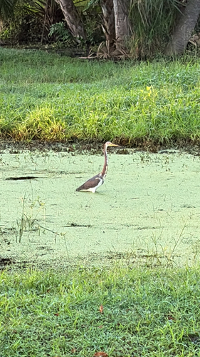
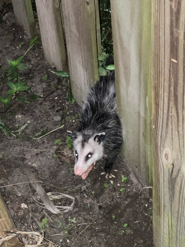
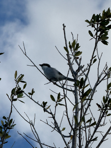
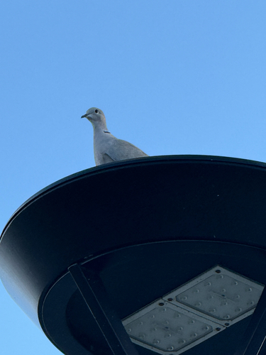
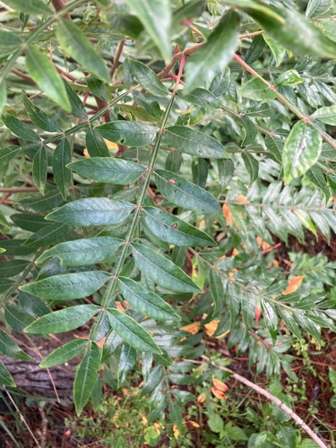
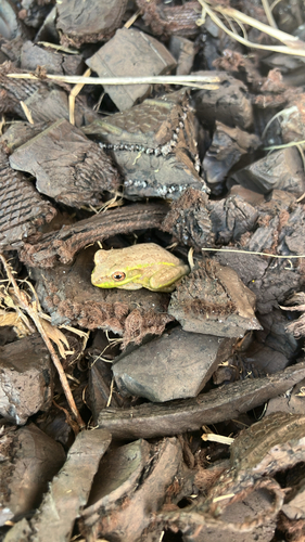
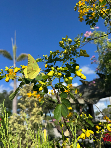
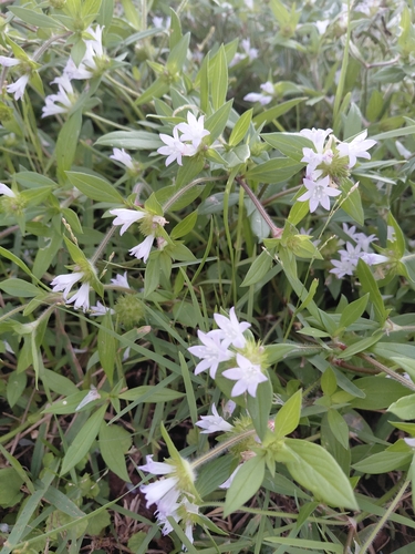
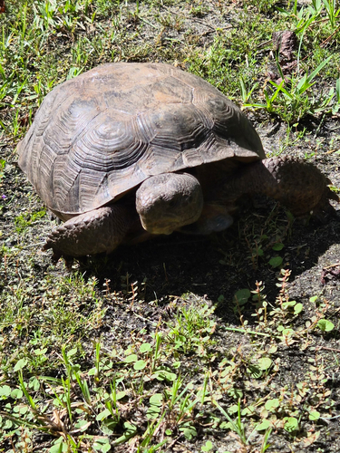
Research-grade observations from iNaturalist (within ~15 mi).
Nearest stream gauge
Live readings from USGS NWIS · measured 2026-10-16 15:45 UTC.
Events
Gallery
Sources
- • Wikipedia
- • US Census Bureau (ACS 5-year estimates)
- • Wikidata
- • USGS Earthquake Catalog (global feed)
- • USGS NWIS (water data)
- • GBIF (Global Biodiversity Information Facility)
- • iNaturalist
- • NASA EONET