Browse / United States / Florida / Sanford
Sanford
Floridacity

Sanford
Total population
66,920
Median home value
$333,000
Bachelor's+
Median income
$69,987
Demographic figures from US Census Bureau · ACS 5-year estimates. Overview below cites Wikipedia and may reference a different year.
City facts
Sister cities
Facts from Wikidata (CC0).
Overview
Sanford is a city in and the county seat of Seminole County, Florida, United States. It is located in Central Florida and its population was 61,051 as of the 2020 census. It is part of the Orlando–Kissimmee–Sanford Metropolitan Statistical Area.
Read more on WikipediaHistory & geography
History
The Mayaca or Jororo Indians inhabited the shores of Lake Monroe at the time of European contact. By 1760, war and disease had decimated the tribe, which would be replaced by the Seminole. Florida was acquired by the United States from Spain in 1821, but the Seminole Wars would delay settlement. In 1835, during the Second Seminole War the port of Palatka on the St. Johns River, then the major artery into Central Florida from the East Coast, was burned. Consequently, a U.S. Army garrison was established upstream, on the southern side of Lake Monroe near a trading post. Established as Camp Monroe in 1836, the site was enclosed by log breastwork on three sides but open to the river, with approximately 300 men based there. The camp was attacked by allied Seminoles on February 8, 1837. It would be strengthened and renamed Fort Mellon in honor of Captain Charles Mellon, the sole American casualty of the attack. During the war, General Zachary Taylor had a road built connecting a string of military defenses from Lake Monroe to Fort Brooke (now Tampa). The town of Mellonville was founded around Fort Mellon in 1842 by Daniel Stewart. In 1845, Florida became a U.S. state. That same year, Mosquito County was renamed Orange County and the county seat was moved from Enterprise to Mellonville. Orange groves were planted, with the first fruit packing plant built in 1869. In 1870, Henry Shelton Sanford bought to the west of Mellonville and laid out the community of Sanford. Believing it would become a transportation hub, he called it "The Gateway City to South Florida." Sanford imported two colonies of Swedes (totaling about 150 adults) as indentured servants to labor a year for their travel expenses. The Swedes would do the back-breaking work of establishing a new town and…
Geography
According to the United States Census Bureau, the city has a total area of , of which is land and of which is water. Sanford is bordered by Lake Mary to the southwest and to the north by Lake Monroe and DeBary. Like the rest of Central Florida, Sanford experiences a warm humid subtropical climate with dry warm winters and wet hot summers. The dry season lasts from October to May, while the wet season is from June to September.
Excerpted from the corresponding Wikipedia article (CC BY-SA).
Demographics & economy
Race & ethnicity
Source: US Census Bureau — American Community Survey, 5-year estimates.
Geography
Coordinates & boundaries from the US Census TIGER/Line shapefiles.
Climate
Current forecast
Forecast for Sanford, FL from NOAA NWS API.
Air quality
Industrial & pollution facilities
Natural hazard risk
Health (adults)
Age-adjusted prevalence estimates from CDC PLACES (latest release).
Walkability
Amenities nearby
Wildlife & biodiversity
Most-observed species
- Northern CardinalCardinalis cardinalis (Linnaeus, 1758) · Aves23,493
- Red-bellied WoodpeckerMelanerpes carolinus (Linnaeus, 1758) · Aves19,030
- Tufted TitmouseBaeolophus bicolor (Linnaeus, 1766) · Aves17,303
- Carolina WrenThryothorus ludovicianus (Latham, 1790) · Aves16,837
- Mourning DoveZenaida macroura (Linnaeus, 1758) · Aves14,346
- Red-shouldered/Broad-winged HawkButeo lineatus (Gmelin, 1788) · Aves14,153
- Downy WoodpeckerDryobates pubescens (Linnaeus, 1766) · Aves13,214
- American CrowCorvus brachyrhynchos C.L.Brehm, 1822 · Aves12,488
Citizen-science & research observations from the Global Biodiversity Information Facility (GBIF).
Schools
Largest nearby schools
- SEMINOLE HIGH SCHOOLHigh · SANFORD · 4,036 students · 25.1:1 ratio
- LAKE MARY HIGH SCHOOLHigh · LAKE MARY · 2,684 students · 26.1:1 ratio
- OVIEDO HIGH SCHOOLHigh · OVIEDO · 2,290 students · 23.9:1 ratio
- LYMAN HIGH SCHOOLHigh · LONGWOOD · 2,084 students · 21.9:1 ratio
- WINTER SPRINGS HIGH SCHOOLHigh · WINTER SPRINGS · 2,038 students · 20.6:1 ratio
- JACKSON HEIGHTS MIDDLE SCHOOLMiddle · OVIEDO · 1,472 students · 26.3:1 ratio
- MILWEE MIDDLE SCHOOLMiddle · LONGWOOD · 1,426 students · 25:1 ratio
- SANFORD MIDDLE SCHOOLMiddle · SANFORD · 1,372 students · 18.3:1 ratio
Public K–12 schools within ~10 mi from Urban Institute Education Data Portal (NCES Common Core of Data, 2022).
Earthquake history
Most recent
- M 2.5 — 2026-05-29Blue Origin New Glenn rocket explosion
Events from the USGS Earthquake Catalog (global) (FDSN Event Web Service).
Photos
Sights & places nearby
Notable people from here
Nearby places in Florida
Geography & sun
Nearby airports
Public attention
Books about this place
Recent natural events nearby
- Wildfire BLUE LAKE, Indian River, FloridaWildfires · 2026-09-15 · 80 mi
- Wildfire Mitchell, Ware, GeorgiaWildfires · 2026-08-24 · 140 mi
- Wildfire H2, Palm Beach, FloridaWildfires · 2026-08-24 · 166 mi
- Wildfire THE H1, Palm Beach, FloridaWildfires · 2026-08-15 · 170 mi
- Wildfire S7, Broward, FloridaWildfires · 2026-09-04 · 177 mi
- Wildfire 3 ALPHA SIERRA, Broward, FloridaWildfires · 2026-09-28 · 188 mi
- Wildfire 22, Miami-Dade, FloridaWildfires · 2026-08-23 · 202 mi
- Wildfire Bluegill, Miami-Dade, FloridaWildfires · 2026-08-02 · 213 mi
Wildfires, storms and other events from NASA EONET (last 12 months, within 250 mi).
Ground air-quality sensors
Recently spotted species
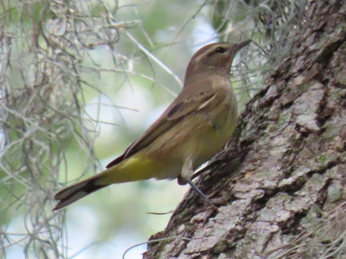
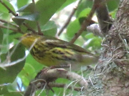
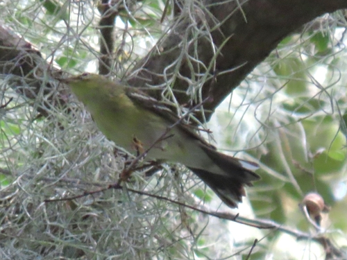
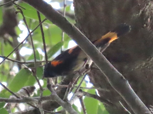
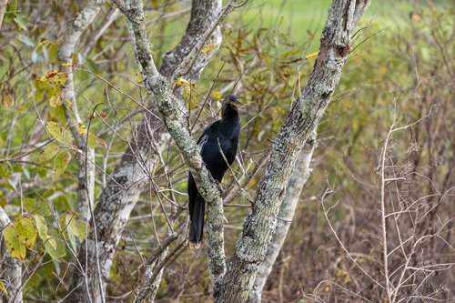
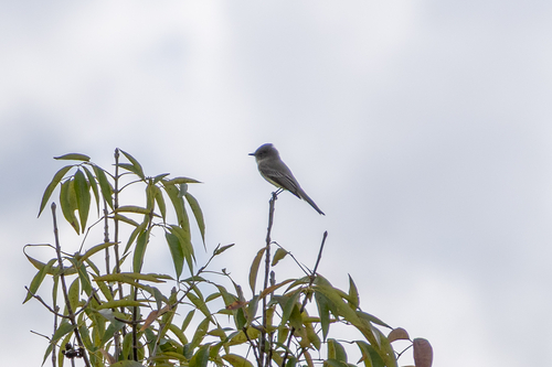
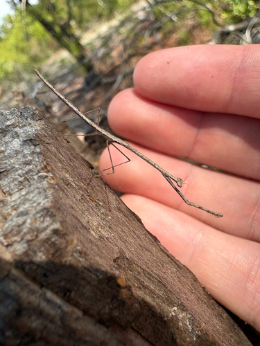
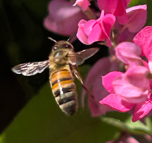
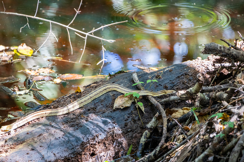
Research-grade observations from iNaturalist (within ~15 mi).
Nearest stream gauge
Live readings from USGS NWIS · measured 2026-10-16 16:30 UTC.
Events
Gallery
Sources
- • Wikipedia
- • US Census Bureau (ACS 5-year estimates)
- • NOAA National Weather Service
- • Wikidata
- • USGS Earthquake Catalog (global feed)
- • USGS NWIS (water data)
- • NCES via Urban Institute Education Data Portal
- • GBIF (Global Biodiversity Information Facility)
- • iNaturalist
- • CDC PLACES
- • NASA EONET