Browse / United States / Florida / Tampa
Tampa
Floridacity

Tampa
Total population
414,575
Median home value
$494,400
Bachelor's+
Median income
$84,114
Founded
1823
Demographic figures from US Census Bureau · ACS 5-year estimates. Overview below cites Wikipedia and may reference a different year.
- High Surf Advisory · MinorHigh Surf Advisory issued October 10 at 3:36AM EDT until October 10 at 8:00PM EDT by NWS Tampa Bay Ruskin FL
- Rip Current Statement · ModerateRip Current Statement issued October 10 at 3:36AM EDT until October 11 at 8:00PM EDT by NWS Tampa Bay Ruskin FL
Source: NOAA National Weather Service.
City facts
Facts from Wikidata (CC0).
Overview
Tampa is a major city on the Gulf Coast of the U.S. state of Florida and the county seat of Hillsborough County. Tampa's borders include the north shore of Tampa Bay and the east shore of Old Tampa Bay. It is the third-most-populous city in Florida, 13th-most-populous in the Southeast, and 49th-most-populous city in the country, with a population of 403,364 at the 2020 census. The Tampa Bay metropolitan area, at over 3.42 million residents, is the second-largest metropolitan area in Florida and 17th-largest in the United States. The Greater Tampa Bay area has over 4 million residents and generally includes the Tampa and Sarasota metro areas.
Read more on WikipediaHistory & geography
History
The shores of Tampa Bay have been inhabited for thousands of years. A variant of the Weeden Island culture developed in the area by about 2,000 years ago. Archeological evidence suggests that these residents relied on the sea for most of their resources, as a vast majority of inhabited sites have been found on or near the shoreline, with little evidence of farming. At the time of European contact in the early 16th century, several chiefdoms of the Safety Harbor culture dominated the area. Early Spanish explorers interacted most extensively with the Tocobaga, whose principal town was at the northern end of Old Tampa Bay near today's Safety Harbor in Pinellas County. While there is a substantial historical record of the Tocobaga, and the Calusa, who lived to the south, there is less surviving documentation describing the Pohoy, who lived near the mouth of the Hillsborough River near today's downtown Tampa. Evidence suggests that the language and culture of the Pohoy and other lesser-known groups around the bay were very similar to that of the Tocobaga. Expeditions led by Pánfilo de Narváez and Hernando de Soto landed near Tampa, but neither conquistador stayed long. There is no natural gold or silver in Florida, and the native inhabitants repulsed Spanish attempts to establish a permanent settlement or convert them to Catholicism. The fighting resulted in a few deaths, but the many more deaths were caused by infectious diseases brought from Europe, which devastated the population of Native Americans across Florida and the entire Western Hemisphere. The indigenous cultures of the Tampa Bay area collapsed by around 1600, leaving the west coast of Spanish Florida largely depopulated and ignored for more than 200 years. In the mid-18th century, events in the American…
Geography
According to the United States Census Bureau, Tampa has a total area of , including of land and (35.3%) of water. The highest point in Tampa is above sea level. Tampa is bordered by two bodies of water, Old Tampa Bay and Hillsborough Bay, which flow together to form Tampa Bay, which flows into the Gulf of Mexico. The Hillsborough River flows into Hillsborough Bay, passing directly in front of Downtown Tampa and supplying Tampa's main source of fresh water. The Palm River is a smaller river, flowing from just east of the city into McKay Bay, which is a smaller inlet, sited at the northeast end of Hillsborough Bay. Several residential and mixed-development high-rises have been constructed. Another of Mayor Iorio's initiatives was the Tampa Riverwalk, a mixed-use path along the Hillsborough River in downtown. Channelside was approved to undergo major renovations by Tampa Bay Lightning owner Jeff Vinik along with Bill Gates and other investors. Several museums have opened, including new homes for the Tampa Bay History Center, the Glazer Children's Museum, and the Tampa Museum of Art. The breakdown of development for the rest of the plan is as follows: 39% residential units, 29% office space, 15% hotels, 8% retail, 7% other, and 2% cultural uses. Mayor Bob Buckhorn continued these developments, which are bearing fruit during the term of Mayor Jane Castor. Tampa is the site of several skyscrapers. Overall, there are 30 completed buildings that rise over high. Tampa also has 147 high-rises, second only to Miami in the state of Florida. The tallest building in the city is 100 North Tampa, formerly the AmSouth Building, which rises 42 floors and in Downtown Tampa. The structure was completed in 1992, and is the tallest building in Florida outside of Miami and…
Excerpted from the corresponding Wikipedia article (CC BY-SA).
Demographics & economy
Race & ethnicity
Source: US Census Bureau — American Community Survey, 5-year estimates.
Geography
Coordinates & boundaries from the US Census TIGER/Line shapefiles.
Climate
10-year averages from ERA5 reanalysis (Open-Meteo).
Current forecast
Forecast for Tampa, FL from NOAA NWS API.
Air quality
Industrial & pollution facilities
Natural hazard risk
Health (adults)
Age-adjusted prevalence estimates from CDC PLACES (latest release).
Walkability
Amenities nearby
Wildlife & biodiversity
Most-observed species
- Blue JayCyanocitta cristata (Linnaeus, 1758) · Aves24,689
- Northern CardinalCardinalis cardinalis (Linnaeus, 1758) · Aves22,998
- White IbisEudocimus albus (Linnaeus, 1758) · Aves22,515
- Mourning DoveZenaida macroura (Linnaeus, 1758) · Aves21,802
- Red-bellied WoodpeckerMelanerpes carolinus (Linnaeus, 1758) · Aves21,551
- Northern MockingbirdMimus polyglottos (Linnaeus, 1758) · Aves18,877
- Fish CrowCorvus ossifragus A.Wilson, 1812 · Aves18,769
- Laughing GullLeucophaeus atricilla (Linnaeus, 1758) · Aves15,432
Citizen-science & research observations from the Global Biodiversity Information Facility (GBIF).
Schools
Largest nearby schools
- FLORIDA CONNECTIONS ACADEMYOther · TAMPA · 5,126 students · 36.1:1 ratio
- ALONSO HIGH SCHOOLHigh · TAMPA · 2,795 students · 23.9:1 ratio
- PLANT HIGH SCHOOLHigh · TAMPA · 2,507 students · 23:1 ratio
- GAITHER HIGH SCHOOLHigh · TAMPA · 2,123 students · 22.3:1 ratio
- LETO HIGH SCHOOLHigh · TAMPA · 2,062 students · 22.9:1 ratio
- TAMPA BAY TECH HIGH SCHOOLHigh · TAMPA · 2,015 students · 21.4:1 ratio
- HILLSBOROUGH HIGH SCHOOLHigh · TAMPA · 1,891 students · 21.2:1 ratio
- SPOTO HIGH SCHOOLHigh · RIVERVIEW · 1,823 students · 24.3:1 ratio
Public K–12 schools within ~10 mi from Urban Institute Education Data Portal (NCES Common Core of Data, 2022).
Earthquake history
Events from the USGS Earthquake Catalog (global) (FDSN Event Web Service).
Photos
Sights & places nearby
Notable people from here


People born within ~10 km, from Wikidata (CC0). Click any name for their Wikipedia article.
Nearby places in Florida
Geography & sun
Elevation, sunrise/sunset and daylight from Open-Meteo. Solar climatology from NASA POWER.
Nearby airports
Public attention
Pageview totals from the Wikimedia Pageviews API.
Books about Tampa





Search results from Open Library.
Recent natural events nearby
- Wildfire BLUE LAKE, Indian River, FloridaWildfires · 2026-09-15 · 109 mi
- Wildfire H2, Palm Beach, FloridaWildfires · 2026-08-24 · 149 mi
- Wildfire THE H1, Palm Beach, FloridaWildfires · 2026-08-15 · 153 mi
- Wildfire S7, Broward, FloridaWildfires · 2026-09-04 · 166 mi
- Wildfire 3 ALPHA SIERRA, Broward, FloridaWildfires · 2026-09-28 · 172 mi
- Wildfire 22, Miami-Dade, FloridaWildfires · 2026-08-23 · 184 mi
- Wildfire Mitchell, Ware, GeorgiaWildfires · 2026-08-24 · 185 mi
- Wildfire Bluegill, Miami-Dade, FloridaWildfires · 2026-08-02 · 191 mi
Wildfires, storms and other events from NASA EONET (last 12 months, within 250 mi).
Ground air-quality sensors
Recently spotted species
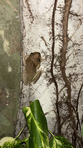
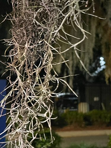
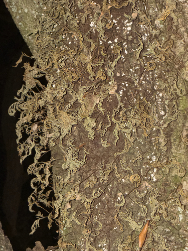
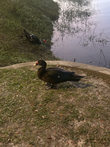
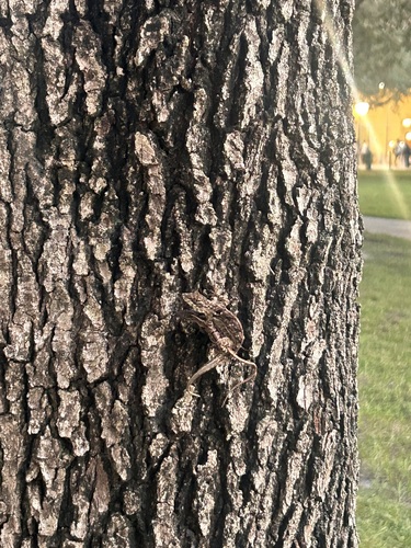
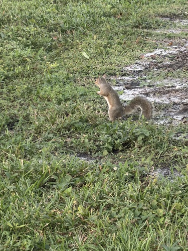
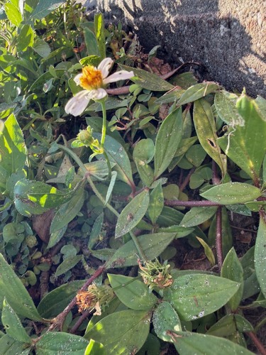
Research-grade observations from iNaturalist (within ~15 mi).
Nearest stream gauge
Live readings from USGS NWIS · measured 2026-10-16 07:00 UTC.
Events
Gallery
Sources
- • Wikipedia
- • US Census Bureau (ACS 5-year estimates)
- • Open-Meteo (ERA5 reanalysis)
- • NOAA National Weather Service
- • Wikidata
- • USGS Earthquake Catalog (global feed)
- • USGS NWIS (water data)
- • NCES via Urban Institute Education Data Portal
- • GBIF (Global Biodiversity Information Facility)
- • iNaturalist
- • CDC PLACES
- • Open-Meteo / sunrise-sunset.org
- • Wikipedia Pageviews API
- • Open Library
- • NASA EONET