Browse / France / Hauts-de-France / Abbeville
Abbeville
Hauts-de-Francetown

Abbeville
Total population
22,595
Air quality index
Demographic figures from INSEE. Overview below cites Wikipedia and may reference a different year.
City facts
Sister cities
Facts from Wikidata (CC0).
Overview
Abbeville is a commune in the Somme department and in Hauts-de-France region in northern France.
Read more on WikipediaHistory & geography
History
The subsoil contains many vestiges of the Pleistocene. This discovery was a founding element of prehistory as a science. The name Abbeville has been adopted to name a category of Paleolithic These stone tools which are some of the earliest found in Europe, were chipped on both sides so as to form a sharp edge, were known as Abbevillian handaxes or bifaces, but recently the term 'Abbevillian' is becoming obsolete as the earlier form of stone tool, not found in Europe, is known as the Oldowan chopper. Some of these artifacts are displayed at the Musee Boucher-de-Perthes. A more refined and later version of handaxe production was found in the Abbeville/Somme River district. The more refined handaxe became known as the Acheulean industry, named after Saint-Acheul, today a suburb of Amiens. It retained some importance into the Bronze Age. In the 7th century, the Benedictine monks of Saint-Valéry, Saint-Josse, Saint-Saulve de Montreuil, Forest-Montiers, Balance and Valloires cleared the woods that were close to their monasteries. The Frankish king Dagobert I then gave part of the forest of Crécy, the hermitage became the : it is the Act of birth of the abbatial field of Abbeville. The name, Abbeville, comes from the Latin and means "town (or more exactly) field of Abbots" (of Saint-Riquier). The first historical mention of Abbeville, in the chronicle of Hariulf, dates to 831 AD. It was a small island in the Somme, inhabited by fishermen who took refuge there with their boats and had fortified it against barbarian invasions from the north. The Abbot Angilbert built a castle to defend this island, which depended on the Abbey of Saint-Riquier. under the dependence of the Abbots of Saint-Riquier. Subsequently, the silting up of the Bay of Somme forced the sea to recede by ,…
Geography
Abbeville is located on the river Somme, from its modern mouth in the English Channel. The majority of the town is located on the east bank of the Somme, as well as on an island. It is located at the head of the Abbeville Canal, and is northwest of Amiens and approximately from Paris. It is also as the crow flies from the Baie de Somme and the English Channel. In the medieval period, it was the lowest crossing point on the Somme and it was nearby that Edward III's army crossed shortly before the Battle of Crécy in 1346. Just halfway between Rouen and Lille, it is the historical capital of the County of Ponthieu and maritime Picardy. *Émonville Park takes its name from one of its owners Arthur Foulc d'Émonville, an amateur botanist, who bought a part of the in order to accommodate a garden and to construct a mansion, which now houses the study and heritage section of the Robert Mallet municipal library. The remains of the priory include the entrance arch, current main entrance of the garden located on Place Clemenceau, as well as some buildings which make up the Saint-Pierre School, including the remarkable Chapel of Saint-Pierre-Saint-Paul (now in a very poor state). This place is considered by some to be the origin of Abbeville, because it was the location of the first château of the Counts of Ponthieu, called castrum. It is assumed that this place could have been the location of the farm of Abbatisvilla, dependent upon the Abbey of Saint-Riquier. *The suburbs of La Bouvaque and Thuison are located to the north of the city. The municipal park of La Bouvaque, bordered by the Boulevard de la République, consists of the La Bouvaque pond and Collart meadows, former settling ponds of the sugar factory. It was in Thuison that the Carthusian monastery of Saint-Honoré…
Excerpted from the corresponding Wikipedia article (CC BY-SA).
Geography
Coordinates & boundaries from the US Census TIGER/Line shapefiles.
Climate
Air quality
Current readings from Open-Meteo Air Quality API (Copernicus CAMS European reanalysis).
Walkability
Amenities nearby
Wildlife & biodiversity
Most-observed species
- Eurasian BlackbirdTurdus merula Linnaeus, 1758 · Aves1,759
- Black-headed GullChroicocephalus ridibundus (Linnaeus, 1766) · Aves1,412
- Common Wood-PigeonColumba palumbus Linnaeus, 1758 · Aves1,358
- Common ChaffinchFringilla coelebs Linnaeus, 1758 · Aves1,310
- House SparrowPasser domesticus (Linnaeus, 1758) · Aves1,265
- European RobinErithacus rubecula (Linnaeus, 1758) · Aves1,224
- Little Egret/Western Reef-HeronEgretta garzetta (Linnaeus, 1766) · Aves1,045
- Great TitParus major Linnaeus, 1758 · Aves1,026
Citizen-science & research observations from the Global Biodiversity Information Facility (GBIF).
Earthquake history
Most recent
- M 2.7 — 2008-11-26France
- M 3 — 2008-11-193 km NNW of Varengeville-sur-Mer, France
- M 3.1 — 2008-11-1813 km NW of Varengeville-sur-Mer, France
- M 3 — 2008-11-184 km NW of Varengeville-sur-Mer, France
- M 3.1 — 2008-11-1813 km NW of Varengeville-sur-Mer, France
- M 3.1 — 2005-06-013 km N of Grandvilliers, France
Events from the USGS Earthquake Catalog (global) (FDSN Event Web Service).
Photos
Sights & places nearby
Notable people from here


People born within ~10 km, from Wikidata (CC0). Click any name for their Wikipedia article.
Nearby places in Hauts-de-France
- Grand-Laviers2.6 mi away · pop. 463
- Boismont7.4 mi away · pop. 472
- Arrest9.7 mi away · pop. 827
- Feuquières-en-Vimeu10.4 mi away · pop. 2,454
- Airaines10.8 mi away · pop. 2,279
- Gamaches14.9 mi away · pop. 2,443
- Fresneville15 mi away · pop. 102
- Le Quesne16.9 mi away · pop. 253
- Brocourt17.4 mi away · pop. 105
- Flesselles20.3 mi away · pop. 1,974
- Saint-Sauveur20.4 mi away · pop. 1,329
- Bussy-lès-Poix21.3 mi away · pop. 92
Geography & sun
Elevation, sunrise/sunset and daylight from Open-Meteo. Solar climatology from NASA POWER.
Nearby airports
Public attention
Pageview totals from the Wikimedia Pageviews API.
Books about Abbeville
Search results from Open Library.
Recent natural events nearby
Ground air-quality sensors
Recently spotted species
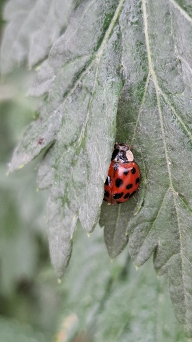
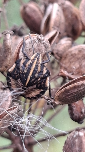
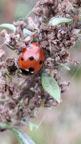
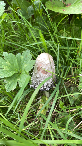
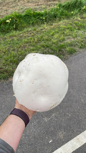
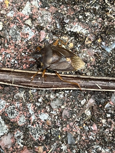
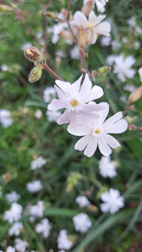
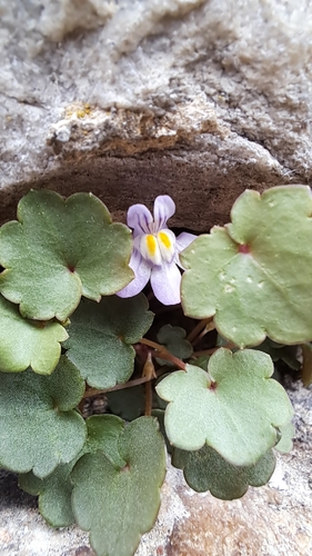
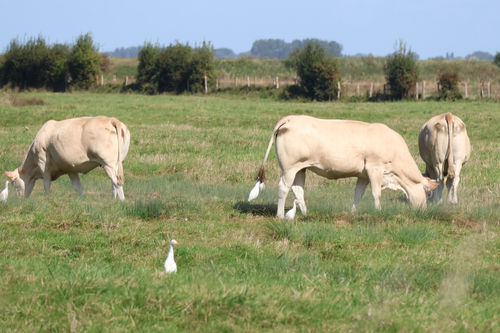
Research-grade observations from iNaturalist (within ~15 mi).
Events
Gallery
Official Identifiers
INSEE — French National Institute of Statistics
- INSEE code
- 80001
- Department
- 80
- Region
- 32
- Population (Wikidata)
- 22,395
geo.api.gouv.fr
Sources
- • Wikipedia
- • Wikidata
- • Open-Meteo Air Quality (CAMS)
- • USGS Earthquake Catalog (global feed)
- • GBIF (Global Biodiversity Information Facility)
- • iNaturalist
- • Open-Meteo / sunrise-sunset.org
- • Wikipedia Pageviews API
- • Open Library
- • Wikidata SPARQL (CC0) — population, area, elevation, inception, head of government, Commons image
- • INSEE — French national statistics, via geo.api.gouv.fr (official commune code, population, surface, department, region)
- • INSEE — French National Institute of Statistics — geo.api.gouv.fr