Browse / France / Occitanie / Alairac
Alairac
Occitanievillage

Alairac
Total population
1,364
Demographic figures from INSEE. Overview below cites Wikipedia and may reference a different year.
City facts
Overview
Alairac is a commune in the Aude department in the Occitanie region of southern France.
Read more on WikipediaHistory & geography
History
The first written record of the castle appeared in 1063: the time of the probable construction of the circulade. The area belonged to the Count of Foix, the first of which was Roger I de Foix who was the second son of Bernard-Roger, Count of Bigorre. Over the years, he exchanged the County of Foix with the Viscount of Carcassonne several times to the Trencavel family. From the 11th century, the village was traversed by one of the paths to Saint Jacques de Compostela called "Path of the Pyrenean Piedmont". This pilgrimage continued until the 18th century. During the Albigensian Crusade at Easter 1210, Simon de Montfort besieged the castle at Alairac for eleven days at which the people, fearing they may have to surrender, fled by night. In 1309, the last known Cathar perfect, Guillaume Bélibaste, fled Catalonia with Philippe of Alayrac. The latter, on his return home after ten years of exile, was probably captured and burned. On hearing the sound of an approaching large company from Routiers in 1366, the officers of the Bailiwick of Carcassonne ordered the inhabitants of the castle at Alairac — which belonged to Jean d'Armagnac — to fortify it and destroy the surrounding area. Having failed to execute the order, the Viscount angrily set fire to the castle which was completely burned. Later, the Count of Armagnac ceded the land of Alairac to the Marquis of Mirepoix in 1404. The lordship was sold at the beginning of the 18th century to a citizen of Carcassonne. This lordship was extinguished by the Revolution in 1789. During the First World War from 1914 to 1918, the village lost nineteen people, whose names are inscribed on the memorial. Every year on 11 November, this sacrifice is remembered by reading their names during a ceremony attended by schoolchildren.…
Geography
The commune is in the urban area of Carcassonne and is located on a hillock at the foot of the Malepère mountain range. Alairac is a traditional circulade village dating to 1000AD. The commune has been part of the agglomeration community called Carcassonne Agglo since 1 January 2010. The commune is located some 80 km south-east of Toulouse and only 6 km south-west of Carcassonne. The Motorway E80 (A61) passes across the northern tip of the commune but has no exit. The commune can be reached by Road D18 from Carcassonne, which passes in a south-westerly direction through the heart of the commune towards Cailhau. Road D211 also passes through the commune from Arzens in the west to Lavalette in the east passing to the north of Alairac village. The village can be reached by a number of local roads from both the D211 and the D18. The commune is both farmland and forest with two small hamlets: Galet and Les Rougeats. Several streams pass through the commune. In the east the Ruisseau Saint Pierre forms the eastern border of the commune, the Ruisseau de Bonne Mere forms the southern boundary, and the Ruisseau du Sout forms the western boundary. Inside the commune there are several streams with the Ruisseau de Celule Ou Gautel passing near the village. All the streams eventually flow into the river Aude which continues east into the Mediterranean Sea. The village overlooks the plain where the Canal du Midi to the north of the commune towards Carcassonne and the view extends over a panorama limited to the north by the Montagne Noire (Black Mountain). To the north-east is the city of Carcassonne and to the south the Malepère mountain range covered in oak forest, the domain of wild boar and mushroom collectors. The village has an oceanic climate with a strong…
Excerpted from the corresponding Wikipedia article (CC BY-SA).
Geography
Coordinates & boundaries from the US Census TIGER/Line shapefiles.
Climate
10-year averages from ERA5 reanalysis (Open-Meteo).
Air quality
Walkability
Amenities nearby
Wildlife & biodiversity
Most-observed species
- Eurasian BlackbirdTurdus merula Linnaeus, 1758 · Aves1,483
- Common ChaffinchFringilla coelebs Linnaeus, 1758 · Aves1,355
- Great TitParus major Linnaeus, 1758 · Aves1,340
- European RobinErithacus rubecula (Linnaeus, 1758) · Aves1,272
- European StarlingSturnus vulgaris Linnaeus, 1758 · Aves1,137
- House SparrowPasser domesticus (Linnaeus, 1758) · Aves1,121
- Common Wood-PigeonColumba palumbus Linnaeus, 1758 · Aves1,054
- Eurasian Blue TitCyanistes caeruleus (Linnaeus, 1758) · Aves1,044
Citizen-science & research observations from the Global Biodiversity Information Facility (GBIF).
Earthquake history
Most recent
- M 2.5 — 2008-12-298 km NNE of Éller, Spain
- M 2.6 — 2008-11-261 km WSW of Creissan, France
- M 2.8 — 2008-08-2714 km S of Quillan, France
- M 2.7 — 2008-03-283 km N of Ribes de Freser, Spain
- M 2.9 — 2008-03-282 km NW of Ribes de Freser, Spain
- M 2.5 — 2007-09-029 km ESE of Gruissan, France
Events from the USGS Earthquake Catalog (global) (FDSN Event Web Service).
Photos
Sights & places nearby
Notable people from here


People born within ~10 km, from Wikidata (CC0). Click any name for their Wikipedia article.
Geography & sun
Elevation, sunrise/sunset and daylight from Open-Meteo. Solar climatology from NASA POWER.
Nearby airports
Public attention
Pageview totals from the Wikimedia Pageviews API.
Books about this place
Recent natural events nearby
Ground air-quality sensors
Recently spotted species
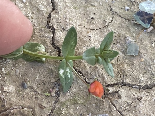
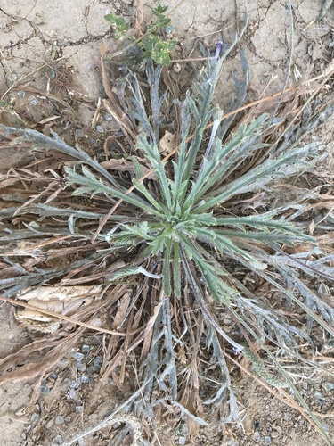
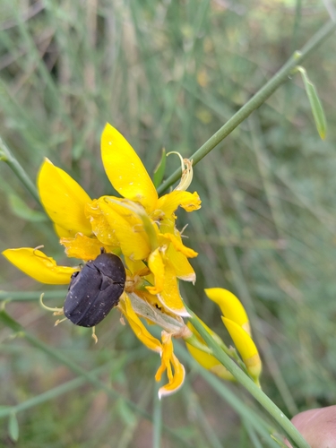
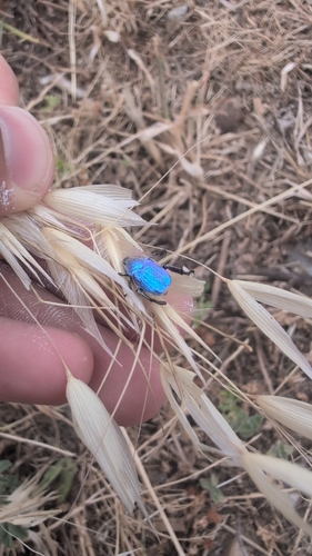
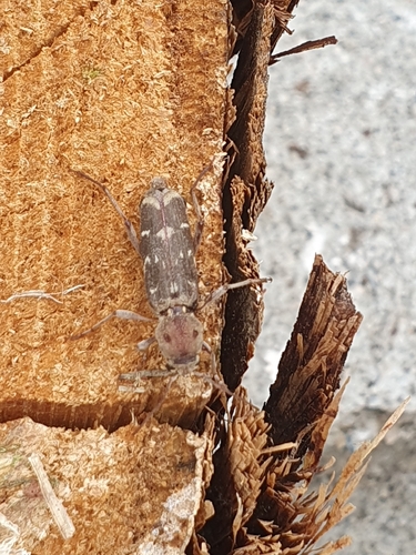
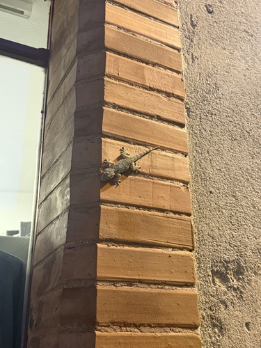
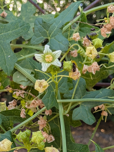
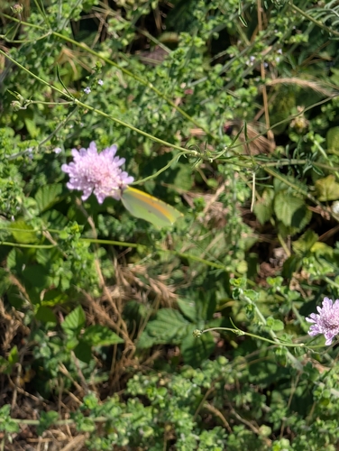
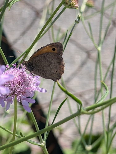
Research-grade observations from iNaturalist (within ~15 mi).
Events
Gallery
Official Identifiers
INSEE — French National Institute of Statistics
- INSEE code
- 11005
- Department
- 11
- Region
- 76
- Population (Wikidata)
- 1,395
geo.api.gouv.fr
Sources
- • Wikipedia
- • Open-Meteo (ERA5 reanalysis)
- • Wikidata
- • USGS Earthquake Catalog (global feed)
- • GBIF (Global Biodiversity Information Facility)
- • iNaturalist
- • Open-Meteo / sunrise-sunset.org
- • Wikipedia Pageviews API
- • INSEE — French national statistics, via geo.api.gouv.fr (official commune code, population, surface, department, region)
- • INSEE — French National Institute of Statistics — geo.api.gouv.fr