Browse / France / Provence-Alpes-Côte d'Azur / Allauch
Allauch
Provence-Alpes-Côte d'Azurtown

Allauch
Total population
21,490
Demographic figures from INSEE. Overview below cites Wikipedia and may reference a different year.
City facts
Sister cities
Facts from Wikidata (CC0).
Overview
Allauch is a French commune situated east of Marseille in the department of Bouches-du-Rhône in the Provence-Alpes-Côte d'Azur region of France.
Read more on WikipediaHistory & geography
History
One of the objects found in the Baume Sourno Cave (dark cave) may have been used as a wedding gift for the young Gyptis. The history of Marseille has a story that Marseille was born from the union of a handsome Greek sailor and the daughter of King Nann, the chief of a Ligurian tribe around the year 600 BC. However, historians believe that Allauch was the chief town of a Ligurian tribe called ségobrige. The beautiful Gyptis could have been allaudienne and Marseille girl from Allauch. In Provence and in Allauch in particular people like legends. A Coat of Arms was adopted by the town in 1727 and refers to the commune being the seat for the Saracens: in the 10th century the Moors besieged the village. At the brink of starvation the villagers, to deceive the enemy, sent twenty loaves and their remaining spear points. The Saracens were discouraged, imagining that abundance reigned behind the walls. They broke camp. It was night and the moon was in its last quarter with three stars shone around it. So the arms of Allauch have three stars, a crescent moon, and two silver wings (arrow quills). Under the auspices of the canons of the Cathedral de la Major Marseille, the castle was built in the 12th century. There remains a postern, some ramparts, and Our Lady of the Castle which was built in 1148 . The pride of Allauch, it is still a place of worship and pilgrimage. The canons remained the Spiritual and Temporal Lords for nearly seven centuries until the French Revolution. They attracted a new population seeking land to cultivate. Then began a period of clearing the land and covering it with vineyards, olive groves, and wheat. On the eve of the Revolution more than three-quarters of Allauch soil belonged to the peasants who worked it, about 20% by the nobles and bourgeois,…
Geography
Allauch is the seat of the canton of Allauch. It is a part of the Aix-Marseille-Provence Metropolis. The commune had inhabitants as of 2019. It is located 12 km north-east of Marseille, 10 km north-east of Aubagne and 35 km south of Aix-en-Provence. Access to the commune is by the D908 road from Marseille in the south-west passing through the commune and continuing north to join the D96 north of La Bouilladisse. Access to the village is by the D48 branching off the D908 and looping back as the D48A. There is also the D4A road from the 11th arrondissement in the south, and the D44G from the 12th arrondissement in the south-west. As Allauch is located on the edge of the Marseille conurbation there are numerous urban districts located within the commune. These are: *405 Santo Estello *Bon Rencontre *Carlevan *Enco de Pont *La Bourdonniere *La Tuiliere *Les Aubagnens *Les Embucs *Les Grands Louis *Les Maurins *Les Rampins *Les Rascous *Les Tourres *Mordeau *Saint-Roch Allauch Village is located on the north-eastern fringe of the Marseille conurbation with large parts of the west of the commune also forming part of this conurbation joining with Plan-de-Cuques to the west. Allauch is separated from Mimet by the massif of l'Étoile, resulting in it being necessary to detour to Cadolive in order to go from Allauch to Mimet. Similarly it is separated from the Aubagne urban area by the Garlaban hills to the south-east. Apart from the urban area in the west of the commune, the rest is heavily forested and mountainous. Each year Allauch pays about €200,000 for missing social housing in order to reach the 20% required by the Urban Renewal Law (SRU). According to the commune however, available land is limited: of the 5,032 hectares of the commune a total of…
Excerpted from the corresponding Wikipedia article (CC BY-SA).
Geography
Coordinates & boundaries from the US Census TIGER/Line shapefiles.
Climate
Air quality
Walkability
Amenities nearby
Wildlife & biodiversity
Earthquake history
Photos
Sights & places nearby
Notable people from here


People born within ~10 km, from Wikidata (CC0). Click any name for their Wikipedia article.
Nearby places in Provence-Alpes-Côte d'Azur
- Mimet5.5 mi away · pop. 4,187
- Simiane-Collongue6.8 mi away · pop. 5,849
- Carnoux-en-Provence6.8 mi away · pop. 6,747
- Roquefort-la-Bédoule8.2 mi away · pop. 5,861
- Belcodène8.2 mi away · pop. 1,948
- Fuveau9.1 mi away · pop. 10,115
- Calas10.8 mi away
- Ceyreste11.3 mi away · pop. 4,813
- Saint-Zacharie11.8 mi away · pop. 5,931
- Le Tholonet12.9 mi away · pop. 2,355
- Nans-les-Pins15.4 mi away · pop. 4,968
- Vauvenargues16.3 mi away · pop. 1,041
Geography & sun
Elevation, sunrise/sunset and daylight from Open-Meteo. Solar climatology from NASA POWER.
Nearby airports
Public attention
Pageview totals from the Wikimedia Pageviews API.
Books about this place
Recent natural events nearby
Ground air-quality sensors
Recently spotted species
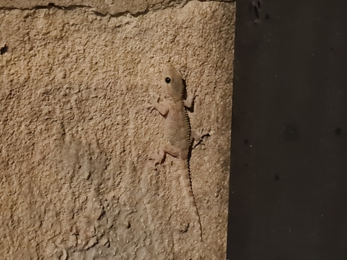
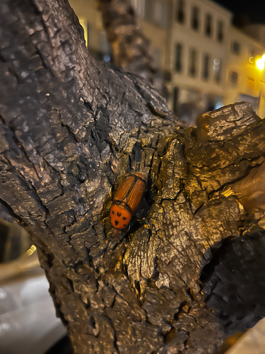
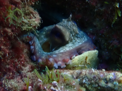
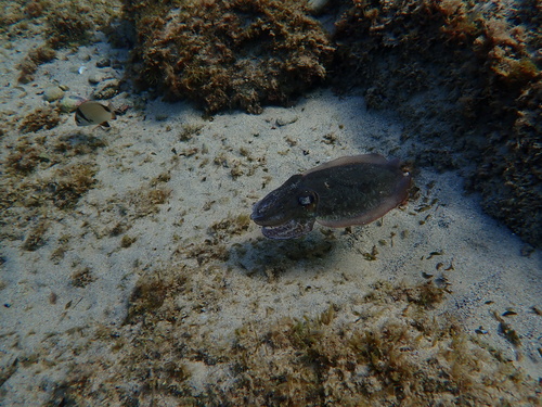
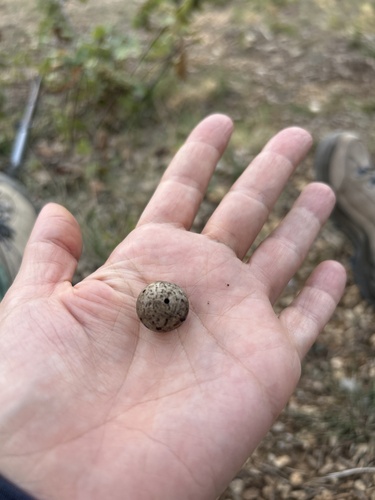
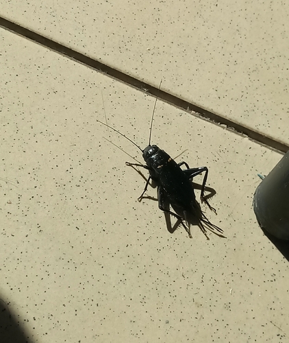
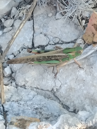
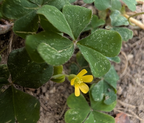
Research-grade observations from iNaturalist (within ~15 mi).
Events
Gallery
Official Identifiers
INSEE — French National Institute of Statistics
- INSEE code
- 13002
- Department
- 13
- Region
- 93
- Population (Wikidata)
- 21,443
geo.api.gouv.fr
Sources
- • Wikipedia
- • Wikidata
- • iNaturalist
- • Open-Meteo / sunrise-sunset.org
- • Wikipedia Pageviews API
- • Wikidata SPARQL (CC0) — population, area, elevation, inception, head of government, Commons image
- • INSEE — French national statistics, via geo.api.gouv.fr (official commune code, population, surface, department, region)
- • INSEE — French National Institute of Statistics — geo.api.gouv.fr