Browse / France / Occitanie / Alzonne
Alzonne
Occitanievillage

Alzonne
Total population
1,595
Demographic figures from INSEE. Overview below cites Wikipedia and may reference a different year.
City facts
Facts from Wikidata (CC0).
Overview
Alzonne is a commune in the Aude department in the Occitanie region of southern France.
Read more on WikipediaHistory & geography
History
Alzonne from the 9th century was a town of some importance as it was once the capital of the viguerie of its name: vicaria Ausonensis; therefore Alzonne was also known in pago Carcassensi. In this respect the situation of Alzonne has hardly changed since this small town is today the capital of the canton of its name in the arrondissement of Carcassonne. Its ancient and enduring importance is due to the fertility of its land and the rivers that form its fertile valley. Once the city was fortified and was besieged and taken three times during the Wars of Religion of the 16th century. It was a strategic place in the crusade against the Albigensians.
Geography
The commune is located in the Lauragais valley some 15 km west of Carcassonne and 15 km east of Castelnaudary. The route D6113 passes through the commune from west to east between these two cities and becomes National Route N113 near Carcassonne. The Autoroute des Deux Mers (A61, E80) passes just 1 km south of the commune but the nearest exit is to the D43 near Bram. Other roads running into the commune are the D8 from Montolieu in the north, the D34 from Saint-Martin-le-Vieil in the northwest, and the D33 running west to east from Bram to Villesèquelande forms the southern border of the commune with a connecting road running north to the village. The Bordeaux-Sète railway runs west to east across the southern part of the commune but there is no station. The nearest station is at Bram. The Fresquel river runs from west to east through the commune passing just south of the village and joining the Aude at Carcassonne. The Fresquel is joined by the Lampy just east of the village and a number of streams flow into the two rivers including the Ruisseau de Fontorbe, the Ruisseau de Rebenty, the Ruisseau de Falgous, and the Vernassonne which forms a part of the northern border of the commune. The Canal du Midi also passes through the southern part of the commune. The commune is mostly farmland with some forests in the north. Apart from the village of Alzonne there are also the hamlets of Fongayraud and La Rode near the village, and La Migance in the north. The name Alsona dates from 898 and comes from Fresquel. It is based on the Hydronymic root alz- meaning "alder" or "swamp" (Dauzat, Negre, Billy, Morvan) and the suffix -onna.
Excerpted from the corresponding Wikipedia article (CC BY-SA).
Geography
Coordinates & boundaries from the US Census TIGER/Line shapefiles.
Climate
10-year averages from ERA5 reanalysis (Open-Meteo).
Air quality
Walkability
Amenities nearby
Wildlife & biodiversity
Most-observed species
- Eurasian BlackbirdTurdus merula Linnaeus, 1758 · Aves1,545
- Common ChaffinchFringilla coelebs Linnaeus, 1758 · Aves1,524
- Great TitParus major Linnaeus, 1758 · Aves1,374
- European RobinErithacus rubecula (Linnaeus, 1758) · Aves1,338
- Common Wood-PigeonColumba palumbus Linnaeus, 1758 · Aves1,262
- European StarlingSturnus vulgaris Linnaeus, 1758 · Aves1,193
- Carrion CrowCorvus corone Linnaeus, 1758 · Aves1,119
- House SparrowPasser domesticus (Linnaeus, 1758) · Aves1,099
Citizen-science & research observations from the Global Biodiversity Information Facility (GBIF).
Earthquake history
Most recent
- M 2.5 — 2008-12-298 km NNE of Éller, Spain
- M 2.6 — 2008-11-261 km WSW of Creissan, France
- M 2.8 — 2008-08-2714 km S of Quillan, France
- M 2.5 — 2007-09-029 km ESE of Gruissan, France
- M 2.5 — 2007-08-1323 km SSE of Saint-Girons, France
- M 2.5 — 2007-03-248 km SSE of Font-Romeu-Odeillo-Via, France
Events from the USGS Earthquake Catalog (global) (FDSN Event Web Service).
Photos
Sights & places nearby
Notable people from here
Nearby places in Occitanie
- Raissac-sur-Lampy1.9 mi away · pop. 465
- Moussoulens3.1 mi away · pop. 996
- Arzens4.1 mi away · pop. 1,202
- Montréal4.1 mi away · pop. 2,048
- Pezens4.3 mi away · pop. 1,598
- Caux4.4 mi away · pop. 1,001
- Cenne-Monestiés6.2 mi away · pop. 410
- Fraisse-Cabardès6.9 mi away · pop. 104
- Lasserre-de-Prouille7 mi away · pop. 286
- Brousses-et-Villaret7.2 mi away · pop. 338
- Fanjeaux8.6 mi away · pop. 872
- Cambieure9 mi away · pop. 318
Geography & sun
Elevation, sunrise/sunset and daylight from Open-Meteo. Solar climatology from NASA POWER.
Nearby airports
Public attention
Pageview totals from the Wikimedia Pageviews API.
Books about this place
Recent natural events nearby
Ground air-quality sensors
Recently spotted species
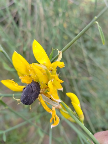
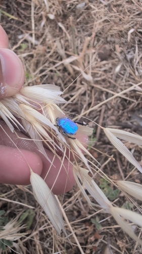
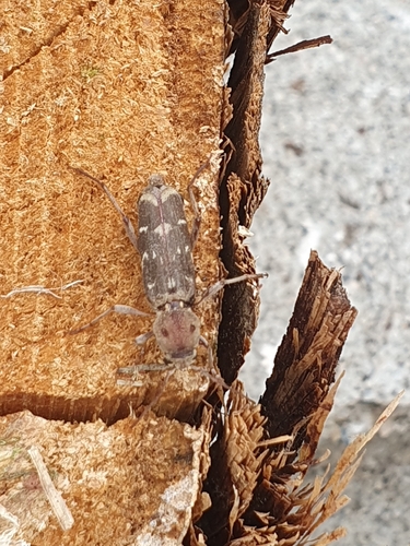
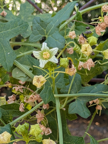
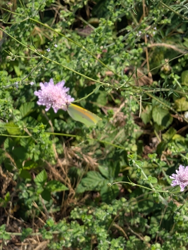
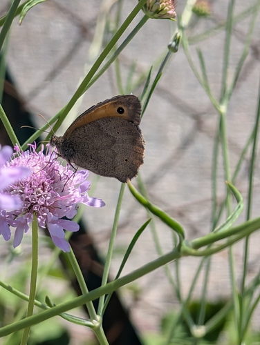
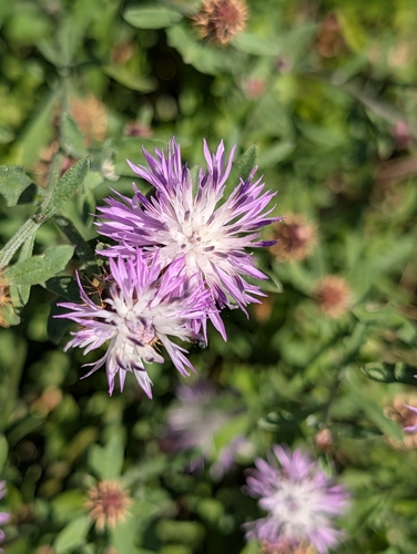
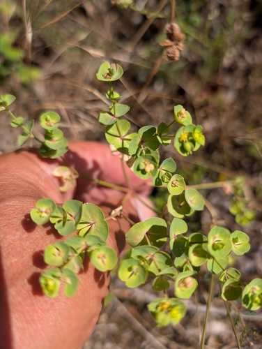
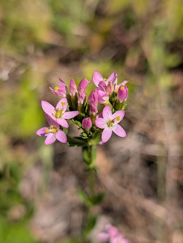
Research-grade observations from iNaturalist (within ~15 mi).
Events
Gallery
Official Identifiers
INSEE — French National Institute of Statistics
- INSEE code
- 11009
- Department
- 11
- Region
- 76
- Population (Wikidata)
- 1,586
geo.api.gouv.fr
Sources
- • Wikipedia
- • Open-Meteo (ERA5 reanalysis)
- • Wikidata
- • USGS Earthquake Catalog (global feed)
- • GBIF (Global Biodiversity Information Facility)
- • iNaturalist
- • Open-Meteo / sunrise-sunset.org
- • Wikipedia Pageviews API
- • INSEE — French national statistics, via geo.api.gouv.fr (official commune code, population, surface, department, region)
- • INSEE — French National Institute of Statistics — geo.api.gouv.fr