Browse / France / Auvergne-Rhône-Alpes / Ambérieu-en-Bugey
Ambérieu-en-Bugey
Auvergne-Rhône-Alpestown

Ambérieu-en-Bugey
Total population
14,854
Air quality index
Demographic figures from INSEE. Overview below cites Wikipedia and may reference a different year.
City facts
Sister cities
Facts from Wikidata (CC0).
Overview
Ambérieu-en-Bugey is a commune in the Ain department, Auvergne-Rhône-Alpes region, France. With 14,288 inhabitants (2020), it is one of the largest towns of the historical region of Bugey.
Read more on WikipediaHistory & geography
History
The name Ambérieu derives from the Ambarri tribe who inhabited the modern day Ain department. A number of archaeological discoveries relating to antiquity have been made in Ambérieu-en-Bugey: * in 1839 or 1840 a child's sarcophagus was found in the commune; * in the same neighbourhood, in the area of the ruins of the castle of Saint-Germain, an archaeological level was uncovered which contained barbarian tombs and also a chapel dating from the Middle Ages. Marcel Demia spoke of some young resistance fighters who he placed on isolated farms and the difficulties encountered in his organization. Henri Romans-Petit arrived in Ain in 1942 and began to help the resistance fighters of the STO and his host. Ambérieu-en-Bugey today has a street called Marcel Demia. The town was liberated on 3 September 1944 by troops who landed in Provence. Known for the actions of its resistance, particularly from the Maquis de l'Ain et du Haut-Jura the town was nicknamed "The Rebel Ambérieu" and was decorated with the Croix de guerre 1939-1945 with citation. On 31 March 1955 Ambérieu was renamed Ambérieu-en-Bugey.
Geography
Ambérieu-en-Bugey is 50 km northeast of Lyon, 30 km south of Bourg-en-Bresse, 73 km northwest of Aix-les-Bains, 76 km southeast of Mâcon and 104 km west of Geneva, Switzerland. The town is in the commune's western part, on the right bank of the river Albarine, which forms most of the commune's southern border. It is surrounded by the communes of Saint-Denis-en-Bugey, and Bettant. Its expansion is due to demographic expansion with two new housing areas on the eastern side of the town where there is plenty of land (near Bettant). Ambérieu-en-Bugey is located at the foot of the western foothills of the Jura mountains of Bugey and opens onto the plain of Ain at the mouth of the gorge of Albarine. Ambérieu features an "oceanic climate" (Cfb) under the Köppen system. However, the city contains significant seasonal differences between the warm to hot summers and the cool to cold winters. Both temperatures above for the summer months and winter air frosts are common. Its record low of decisively indicates its continental influence, as well as its record high of . Weather Data for Ambérieu-en-Bugey The commune is at an altitude between 237 m and 753 m. The sub-soil has been an important economic activity in the Ambérieu region in the 19th century until the first half of the 20th century. For example, the extraction of lignite (used in particular for heating) was an important activity in Ambérieu during the First World War. Ambérieu-en-Bugey reflects the characteristics of Bugey in geological terms: the region is composed of a folded mountain relief, partly karstified, which is the southern extension of the Jura mountains. The dating of the limestone of Bugey is between the Jurassic (for the anticlines) and the Cretaceous (for the…
Excerpted from the corresponding Wikipedia article (CC BY-SA).
Geography
Coordinates & boundaries from the US Census TIGER/Line shapefiles.
Climate
10-year averages from ERA5 reanalysis (Open-Meteo).
Air quality
Current readings from Open-Meteo Air Quality API (Copernicus CAMS European reanalysis).
Walkability
Amenities nearby
Wildlife & biodiversity
Most-observed species
- Great TitParus major Linnaeus, 1758 · Aves1,580
- Eurasian BlackbirdTurdus merula Linnaeus, 1758 · Aves1,572
- Common ChaffinchFringilla coelebs Linnaeus, 1758 · Aves1,135
- House SparrowPasser domesticus (Linnaeus, 1758) · Aves1,105
- Eurasian Blue TitCyanistes caeruleus (Linnaeus, 1758) · Aves1,096
- European RobinErithacus rubecula (Linnaeus, 1758) · Aves1,073
- Eurasian BlackcapSylvia atricapilla (Linnaeus, 1758) · Aves933
- Common Wood-PigeonColumba palumbus Linnaeus, 1758 · Aves840
Citizen-science & research observations from the Global Biodiversity Information Facility (GBIF).
Earthquake history
Most recent
- M 3.3 — 2025-05-068 km W of Chapareillan, France
- M 4.5 — 2022-03-123 km S of Faverges, France
- M 3.2 — 2017-11-1710 km NNE of Saint-Rémy-de-Maurienne, France
- M 3.4 — 2013-04-061 km SSW of Poisy, France
- M 2.8 — 2008-10-315 km NE of Boëge, France
- M 2.5 — 2008-08-302 km NNE of Saint-Martin-Bellevue, France
Events from the USGS Earthquake Catalog (global) (FDSN Event Web Service).
Photos
Sights & places nearby
Notable people from here
Nearby places in Auvergne-Rhône-Alpes
- Ambronay3.3 mi away · pop. 2,833
- Montalieu-Vercieu10.1 mi away · pop. 3,507
- Annoisin14.4 mi away · pop. 717
- Ceyzériat15.2 mi away · pop. 3,285
- Dagneux15.5 mi away · pop. 4,753
- Crémieu17.1 mi away · pop. 3,490
- Arandon17.3 mi away
- La Boisse17.7 mi away · pop. 3,361
- Nantua17.9 mi away · pop. 3,449
- Saint-Denis-lès-Bourg18.7 mi away · pop. 6,063
- Chavagneux19 mi away
- Saint-André-de-Corcy19.6 mi away · pop. 3,368
Geography & sun
Elevation, sunrise/sunset and daylight from Open-Meteo. Solar climatology from NASA POWER.
Nearby airports
Public attention
Pageview totals from the Wikimedia Pageviews API.
Books about this place
Recent natural events nearby
Ground air-quality sensors
Recently spotted species
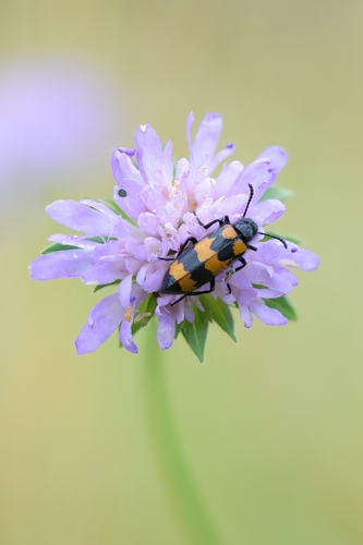
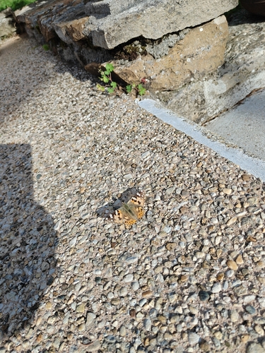
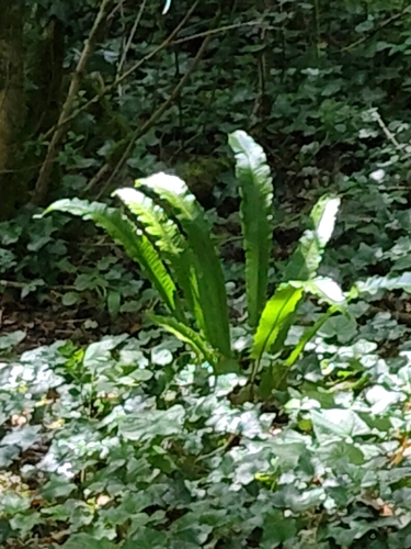
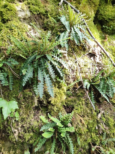
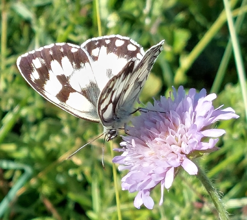
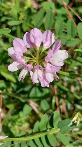
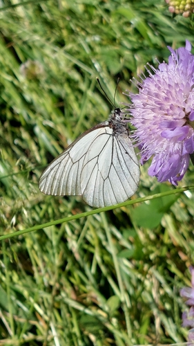
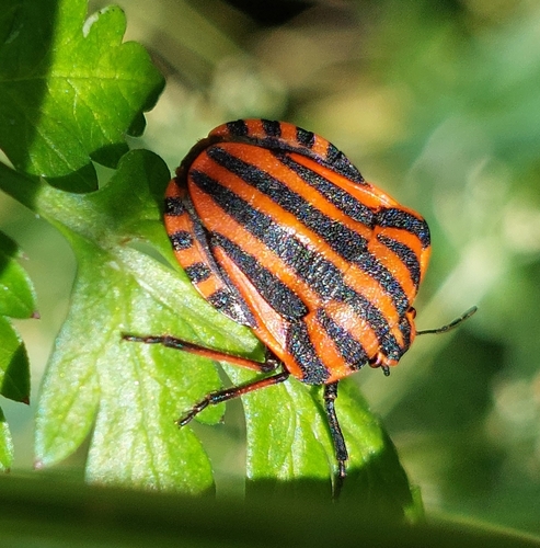
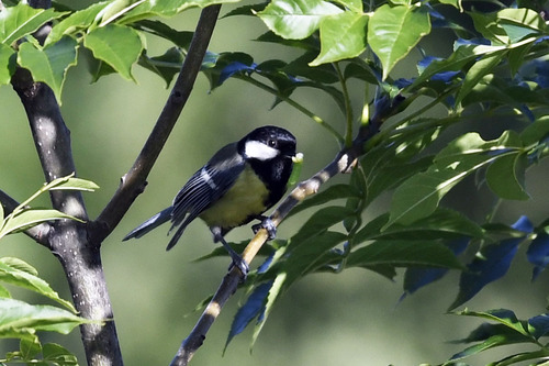
Research-grade observations from iNaturalist (within ~15 mi).
Events
Gallery
Geotagged photos within ~6 miles of Ambérieu-en-Bugey, from Wikimedia Commons contributors.
.jpg) 0 mi
0 mi 0 mi
0 mi 0 mi
0 mi 0 mi
0 mi_-_2020-09-16_-_1.jpg) 0 mi
0 mi_-_2020-09-16_-_2.jpg) 0 mi
0 mi_-_2020-09-16_-_1.jpg) 0 mi
0 mi_-_2020-09-16_-_2.jpg) 0 mi
0 mi_-_2020-09-16_-_3.jpg) 0 mi
0 mi 0.1 mi
 0.1 mi
 0.1 mi
 0.1 mi
 0.1 mi
 0.1 mi
 0.1 mi
 0.1 mi
 0.1 mi
 0.1 mi
 0.1 mi
 0.1 mi
 0.1 mi
 0.1 mi
 0.1 mi
Photos via Wikimedia Commons — see each image page for license & attribution.
Official Identifiers
INSEE — French National Institute of Statistics
- INSEE code
- 01004
- Department
- 01
- Region
- 84
- Population (Wikidata)
- 15,934
geo.api.gouv.fr
Sources
- • Wikipedia
- • Open-Meteo (ERA5 reanalysis)
- • Wikimedia Commons
- • Wikidata
- • Open-Meteo Air Quality (CAMS)
- • USGS Earthquake Catalog (global feed)
- • GBIF (Global Biodiversity Information Facility)
- • iNaturalist
- • Open-Meteo / sunrise-sunset.org
- • Wikipedia Pageviews API
- • Wikidata SPARQL (CC0) — population, area, elevation, inception, head of government, Commons image
- • INSEE — French national statistics, via geo.api.gouv.fr (official commune code, population, surface, department, region)
- • INSEE — French National Institute of Statistics — geo.api.gouv.fr