Browse / France / Hauts-de-France / Amiens
Amiens
Hauts-de-Francecity

Amiens
Total population
133,625
Demographic figures from INSEE. Overview below cites Wikipedia and may reference a different year.
City facts
Facts from Wikidata (CC0).
Overview
Amiens is a city and commune in northern France, located 120 km (75 mi) north of Paris and 100 km (62 mi) southwest of Lille. With 136,449 inhabitants (2023), it is the prefecture of the Somme department in the Hauts-de-France region. A central landmark of the city is Amiens Cathedral, the largest Gothic cathedral in France. Amiens also has one of the largest university hospitals in France, with a capacity of 1,200 beds. The author Jules Verne lived in Amiens from 1871 until his death in 1905, and served on the city council for 15 years. Amiens is the birthplace of current French president Emmanuel Macron.
Read more on WikipediaHistory & geography
History
The first known settlement at this location was Samarobriva ("Somme bridge"), the central settlement of the Ambiani tribe, one of the principal tribes of Gaul. The Romans named the town Ambianum, meaning settlement of the Ambiani people. Amiens was part of Francia starting from the 5th century. The Normans sacked the city in 859 and again in 882. In 1113, the city was recognized by King Louis VI of France, and in 1185 it was linked to the Crown of France. In 1597, Spanish soldiers held the city during the six-month Siege of Amiens, before Henry IV regained control. During the 18th and 19th century, the textile tradition of Amiens became famous for its velours. As a result of the French Revolution, the provinces of France were dismantled and the territory was organised into departments. Much of Picardy became the newly created department of Somme with Amiens as the departmental capital. During the Industrial Revolution, the city walls were demolished, opening up space for large boulevards around the town center. The Henriville neighborhood in the south of the city was developed around this time. In 1848, the first railway arrived in Amiens, linking the city to Boulogne-sur-Mer. During the 1870 Battle of Amiens, the city was occupied by invading Prussian forces. The town was fought over during both the First and Second World Wars, suffering significant damage and being occupied several times by both sides. The 1918 Battle of Amiens was the opening phase of the Hundred Days Offensive which led directly to the Armistice with Germany that ended the war. In June 1944 following D-Day, Amiens was heavily bombed by the Royal Air Force. The town was liberated by British forces on 31 August. The city was rebuilt according to Pierre Dufau's plans with a focus on widening the…
Geography
Amiens, once regional prefecture of the former Picardy Region, is the prefecture of the Somme department, one of the three departments (with Oise and Aisne) in the region. Located in the Paris Basin, the city benefits from a privileged geographical position, with close proximity to Paris, Lille, Rouen, London and Brussels. At the crossroads of major European routes of travel (A1, A16 and A29), the city is also at the heart of a major rail star. As the crow flies, the city is north of Paris, south-west of Lille, north-east of Rouen, east-north-east of Le Havre and north-west of Reims. At the regional level, Amiens is located north of Beauvais, west of Saint-Quentin, from Compiègne and from Laon. In area, Amiens is the third-largest settlement in the Somme, after Crécy-en-Ponthieu and Hornoy-le-Bourg. The area of the commune is ; the altitude varies between . The main stem of the River Somme passes through Amiens and is generally benign, except during exceptional floods that can last up to several weeks (such as in spring 2001). It is also, on its southeastern outskirts, close to Camon and Longueau, the confluence with its main tributary on the left bank (to the south), and the Avre. The Selle enters from the northwest of Amiens, with two arms (including the Haute Selle) passing behind the Unicorn Stadium, the exhibition park, the megacity and horse racing track, then passing the end of the Promenade de la Hotoie and the zoo of Amiens, and to the right of the water treatment plant, in front of the island Sainte-Aragone, opposite the cemetery of La Madeleine in Amiens. The city developed in a natural narrowing of the river due to the advance of the rim of the Picard plateau in Saint-Pierre (ford crossing). The Amiens citadel is built on this limestone butte…
Excerpted from the corresponding Wikipedia article (CC BY-SA).
Geography
Coordinates & boundaries from the US Census TIGER/Line shapefiles.
Climate
Air quality
Walkability
Amenities nearby
Wildlife & biodiversity
Most-observed species
- Common PipistrellePipistrellus pipistrellus (Schreber, 1774) · Mammalia2,341
- Eurasian BlackbirdTurdus merula Linnaeus, 1758 · Aves1,534
- Common ChaffinchFringilla coelebs Linnaeus, 1758 · Aves1,244
- Great TitParus major Linnaeus, 1758 · Aves1,170
- European RobinErithacus rubecula (Linnaeus, 1758) · Aves1,142
- Eurasian Blue TitCyanistes caeruleus (Linnaeus, 1758) · Aves1,106
- Common Wood-PigeonColumba palumbus Linnaeus, 1758 · Aves1,044
- Eurasian BlackcapSylvia atricapilla (Linnaeus, 1758) · Aves1,003
Citizen-science & research observations from the Global Biodiversity Information Facility (GBIF).
Earthquake history
Most recent
- M 2.7 — 2008-11-26France
- M 3 — 2008-11-193 km NNW of Varengeville-sur-Mer, France
- M 3 — 2008-11-184 km NW of Varengeville-sur-Mer, France
- M 3.1 — 2005-06-013 km N of Grandvilliers, France
- M 3.1 — 2005-02-271 km NW of Libercourt, France
Events from the USGS Earthquake Catalog (global) (FDSN Event Web Service).
Photos
Sights & places nearby
Notable people from here


People born within ~10 km, from Wikidata (CC0). Click any name for their Wikipedia article.
Nearby places in Hauts-de-France
- Saint-Sauveur4.8 mi away · pop. 1,329
- Bertangles5.3 mi away · pop. 779
- Bacouel-sur-Selle5.4 mi away · pop. 471
- Clairy-Saulchoix5.8 mi away · pop. 381
- Querrieu6.8 mi away · pop. 625
- Fossemanant7.6 mi away · pop. 99
- Molliens-au-Bois7.7 mi away · pop. 339
- Flesselles7.8 mi away · pop. 1,974
- Montigny-sur-l'Hallue8.9 mi away · pop. 195
- Rouvrel10 mi away · pop. 305
- Ribemont-sur-Ancre12.8 mi away · pop. 625
- Bussy-lès-Poix13.3 mi away · pop. 92
Geography & sun
Elevation, sunrise/sunset and daylight from Open-Meteo. Solar climatology from NASA POWER.
Nearby airports
Public attention
Pageview totals from the Wikimedia Pageviews API.
Books about Amiens


Search results from Open Library.
Recent natural events nearby
Ground air-quality sensors
Recently spotted species
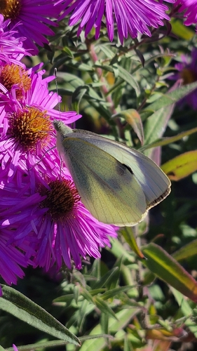
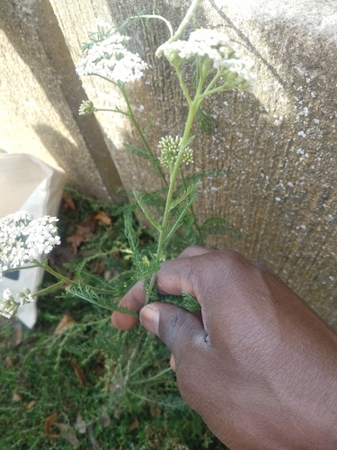
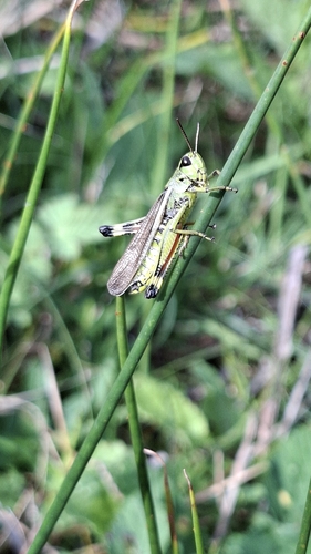


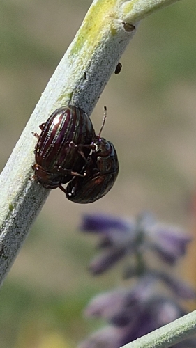
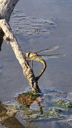
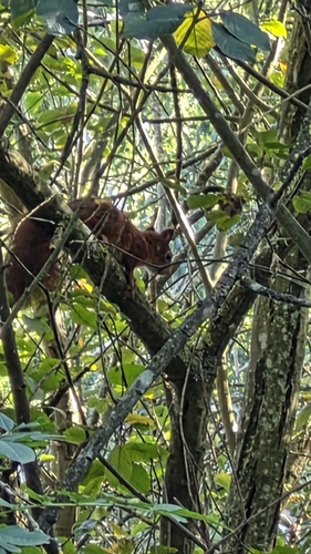
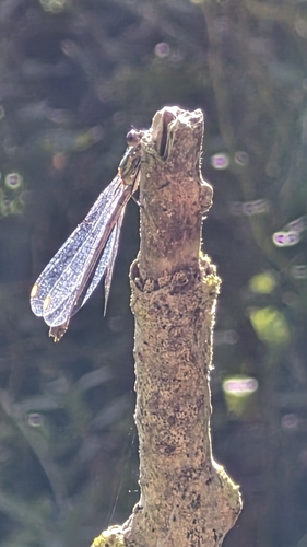
Research-grade observations from iNaturalist (within ~15 mi).
Events
Gallery
Official Identifiers
INSEE — French National Institute of Statistics
- INSEE code
- 80021
- Department
- 80
- Region
- 32
- Population (Wikidata)
- 136,449
geo.api.gouv.fr
Sources
- • Wikipedia
- • Wikidata
- • USGS Earthquake Catalog (global feed)
- • GBIF (Global Biodiversity Information Facility)
- • iNaturalist
- • Open-Meteo / sunrise-sunset.org
- • Wikipedia Pageviews API
- • Open Library
- • Wikidata SPARQL (CC0) — population, area, elevation, inception, head of government, Commons image
- • INSEE — French national statistics, via geo.api.gouv.fr (official commune code, population, surface, department, region)
- • INSEE — French National Institute of Statistics — geo.api.gouv.fr