Browse / France / Pays de la Loire / Angers
Angers
Pays de la Loirecity

Angers
Total population
157,175
Demographic figures from INSEE. Overview below cites Wikipedia and may reference a different year.
City facts
Facts from Wikidata (CC0).
Overview
Angers is a city in western France, about 300 km (190 mi) southwest of Paris. It is the prefecture of the Maine-et-Loire department and was the capital of the province of Anjou until the French Revolution. The inhabitants of both the city and the province are called Angevins or, more rarely, Angeriens.
Read more on WikipediaHistory & geography
History
The first sign of human presence in Angers dates back to around 400,000 BC. Vestiges from the Neolithic are more abundant and include numerous polished stone axes. Burials from 4500 3500 BC were also discovered on the castle grounds. During the 5th century BC, the Andecavi, a Celtic people, settled north of the Loire. By the end of the Iron Age, Angers was a relatively densely populated hillfort. While the settlement's Roman name—Juliomagus—may be older, it is only attested from the 3rd century. The Roman town consisted of many villas and baths and had an amphitheater as well as a Mithraeum, a temple dedicated to Mithra. Successive Germanic invasions in AD 275 and 276 forced the inhabitants to move to the highest point of their city and to build a wall around a small area of around . Angers received its first bishop in 372 during the election of Martin of Tours. The first abbey, Saint-Aubin, was built during the 7th century to house the sarcophagus of Saint Albinius. Saint-Serge Abbey was founded by the Merovingian kings Clovis II and Theuderic III a century later. In 2008, ten Frankish sarcophagi from that period were discovered where Saint-Morille church once stood during the tramway construction. From the 850s, Angers suffered from its situation on the border with Brittany and Normandy. In September 851, Charles the Bald and Erispoe, a Breton chief, met in the town to sign the Treaty of Angers, which secured Breton independence and fixed the borders of Brittany. However, the situation remained dangerous for Angers, and Charles the Bald created in 853 a wide buffer zone around Brittany comprising parts of Anjou, Touraine, Maine and Sées, which was ruled by Robert the Strong, a great-grandfather of Hugh Capet. In 870, the Viking…
Geography
Angers is located at the geographical center of the Maine-et-Loire department, on the road (A11 autoroute, L'Océane) which connects Paris to the Atlantic Ocean. The city is situated just south of the confluence of the Loir, Mayenne and Sarthe, which form together the river Maine. The Maine crosses Angers and heads south towards the Loire. The confluence of the three rivers and the proximity of the Loire make up a natural crossroads which favoured the foundation of the antique Juliomagus. Angers is located from Nantes, from Rennes, from Poitiers and from Paris. It is also far from Pornic, the closest sea resort, situated on the Atlantic Ocean. Elevation varies above sea level. Angers is a hilly town, particularly marked by a rocky promontory dominating the lower valley of Anjou. This was the site of the ancient city and still houses the town's castle, cathedral, and medieval quarters. At the north and south, where the river Maine arrives in and leaves Angers, the landscape is formed by islands, ponds and floodplains which are a haven for birds and a typical flora of the Val de Loire. The étang Saint-Nicolas and Lac de Maine (fr) both artificial, are among the biggest green areas of the city. The commune of Angers is bordered by ten other communes which form various suburbs. These are, clockwise, Avrillé, Cantenay-Épinard, Écouflant, Saint-Barthélemy-d'Anjou, Trélazé, Les Ponts-de-Cé, Sainte-Gemmes-sur-Loire, Bouchemaine and Beaucouzé. 22 other communes situated farther form with them the Communauté urbaine Angers Loire Métropole. All these peripheral communes are situated within from Angers proper. Together, they have around 272,400 inhabitants. Angers has an oceanic climate, with moderate rain year-round. Winters have scarce frosts and snowfalls, and…
Excerpted from the corresponding Wikipedia article (CC BY-SA).
Geography
Coordinates & boundaries from the US Census TIGER/Line shapefiles.
Climate
Air quality
Walkability
Amenities nearby
Wildlife & biodiversity
Most-observed species
- European RobinErithacus rubecula (Linnaeus, 1758) · Aves2,871
- Great TitParus major Linnaeus, 1758 · Aves2,833
- Common ChaffinchFringilla coelebs Linnaeus, 1758 · Aves2,640
- Eurasian BlackbirdTurdus merula Linnaeus, 1758 · Aves2,574
- Eurasian Blue TitCyanistes caeruleus (Linnaeus, 1758) · Aves2,462
- Common Wood-PigeonColumba palumbus Linnaeus, 1758 · Aves2,318
- House SparrowPasser domesticus (Linnaeus, 1758) · Aves2,100
- Fire salamanderSalamandra salamandra (Linnaeus, 1758) · Amphibia1,480
Citizen-science & research observations from the Global Biodiversity Information Facility (GBIF).
Earthquake history
Most recent
- M 4 — 2019-06-212 km WSW of Vihiers, France
- M 4.1 — 2018-02-123 km SSE of La Meilleraie-Tillay, France
- M 3.6 — 2017-09-281 km WNW of Tresbœuf, France
- M 3.5 — 2016-06-194 km ESE of La Jumellière, France
- M 4.2 — 2016-05-026 km SE of L'Île-Bouchard, France
- M 2.7 — 2008-11-0612 km W of Saint-Gervais-les-Trois-Clochers, France
Events from the USGS Earthquake Catalog (global) (FDSN Event Web Service).
Photos
Sights & places nearby
Notable people from here


People born within ~10 km, from Wikidata (CC0). Click any name for their Wikipedia article.
Nearby places in Pays de la Loire
- Port-Thibault4 mi away
- La Pointe5.7 mi away
- La Daguenière6.7 mi away · pop. 1,282
- Feneu7 mi away · pop. 2,202
- Denée7.1 mi away · pop. 1,427
- Soulaire7.2 mi away · pop. 1,489
- Saint-Léger-des-Bois7.4 mi away · pop. 3,804
- Le Plessis-Macé7.5 mi away · pop. 1,259
- Saint-Melaine-sur-Aubance7.6 mi away · pop. 2,201
- Mozé-sur-Louet8 mi away · pop. 2,040
- Savennières8 mi away · pop. 1,349
- Saint-Sulpice8.1 mi away · pop. 179
Geography & sun
Elevation, sunrise/sunset and daylight from Open-Meteo. Solar climatology from NASA POWER.
Nearby airports
Public attention
Pageview totals from the Wikimedia Pageviews API.
Books about Angers


Search results from Open Library.
Recent natural events nearby
Ground air-quality sensors
Recently spotted species
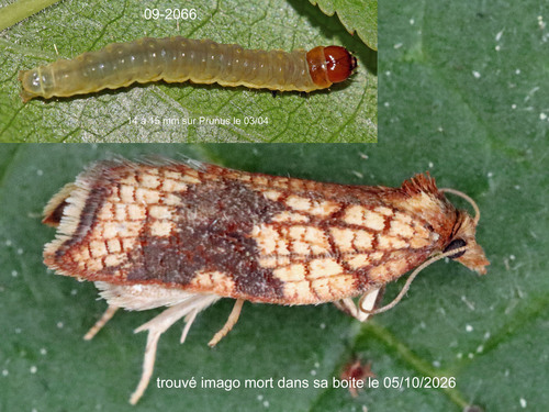
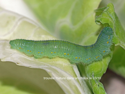
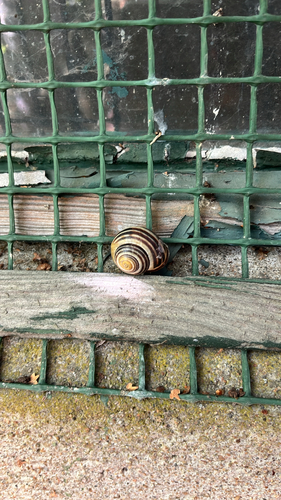
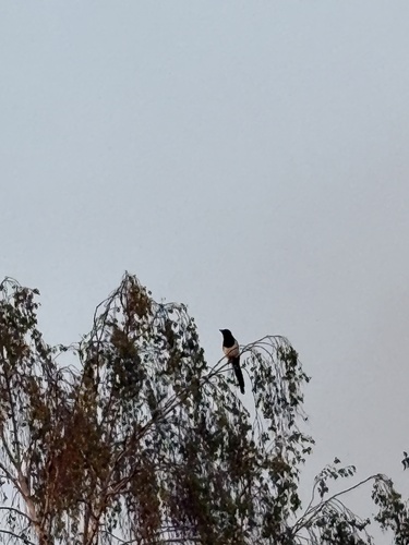
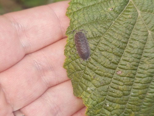
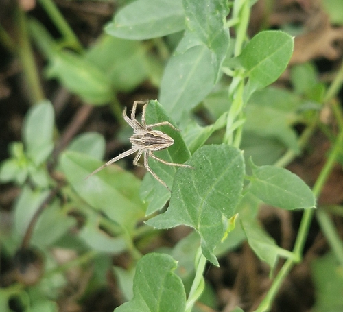
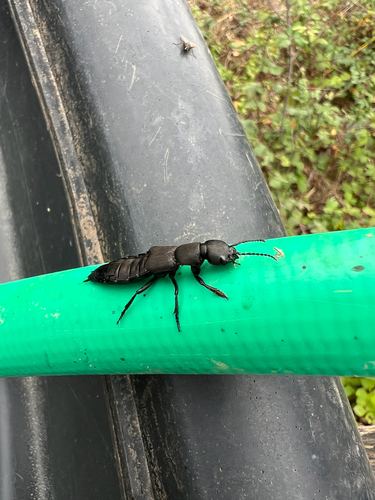
Research-grade observations from iNaturalist (within ~15 mi).
Events
Notable, recurring, and historical events associated with Angers, sourced from Wikidata.
- Q137995136Jan 28, 2026award ceremony
- Q127237675Jun 30, 2024sporting event
- Q127169175Jun 29, 2024sporting event
- Q127270586Jun 28, 2024sporting event
- Q140736861festival
Source: Wikidata (CC0).
Gallery
Geotagged photos within ~6 miles of Angers, from Wikimedia Commons contributors.
 0 mi
0 mi 0 mi
0 mi 0 mi
0 mi 0 mi
0 mi 0.1 mi
 0.1 mi
 0.1 mi
 0.1 mi
 0.1 mi
 0.1 mi
 0.1 mi
 0.1 mi
 0.1 mi
 0.1 mi
 0.1 mi
 0.1 mi
 0.1 mi
 0.1 mi
 0.1 mi
 0.1 mi
 0.1 mi
.jpg) 0.1 mi
0.1 mi.jpg) 0.1 mi
0.1 mi.jpg) 0.1 mi
0.1 miPhotos via Wikimedia Commons — see each image page for license & attribution.
Official Identifiers
INSEE — French National Institute of Statistics
- INSEE code
- 49007
- Department
- 49
- Region
- 52
- Population (Wikidata)
- 159,022
geo.api.gouv.fr
Sources
- • Wikipedia
- • Wikimedia Commons
- • Wikidata
- • USGS Earthquake Catalog (global feed)
- • GBIF (Global Biodiversity Information Facility)
- • iNaturalist
- • Open-Meteo / sunrise-sunset.org
- • Wikipedia Pageviews API
- • Open Library
- • Wikidata SPARQL (CC0) — population, area, elevation, inception, head of government, Commons image
- • INSEE — French national statistics, via geo.api.gouv.fr (official commune code, population, surface, department, region)
- • INSEE — French National Institute of Statistics — geo.api.gouv.fr