Browse / France / Nouvelle-Aquitaine / Angoulins
Angoulins
Nouvelle-Aquitainevillage

Angoulins
Total population
4,117
Air quality index
Demographic figures from INSEE. Overview below cites Wikipedia and may reference a different year.
City facts
Facts from Wikidata (CC0).
Overview
Angoulins is a commune in the Charente-Maritime department in the Nouvelle-Aquitaine region of southwestern France.
Read more on WikipediaHistory & geography
Geography
Angoulins is located in the northwest of the department of Charente-Maritime some 8 km south-east of La Rochelle and 5 km north of Châtelaillon-Plage in the former province of Aunis. It is a coastal commune on the Atlantic Ocean. Access is by the E602 (D137) highway from La Rochelle continuing south-east with an exit in the commune just east of Angoulins town. There is also the D202 from Salles-sur-Mer in the east turning south and continuing to Chatelaillon-Plage. Access to the town is by the D111E1 from the D202 on the southern border continuing through the town and turning east to the motorway exit. Angoulins town has a large urban area occupying almost 50% of the commune, with farmland to the north, east, and west. The entire commune is located on Jurassic terrain, which completely covers the plain of Aunis. Jurassic Marl and limestone outcrops appear on the surface of the commune, and the relief is slightly rolling. The coastal strip of Angoulins, which corresponds to the last extremity of the plain of Aunis, is relatively varied. It alternates between low sandy and marshy shores and high limestone cliffs. Low-lying coasts, which were formerly salt marshes, have today been transformed into oyster beds (at the marsh north of Chay Point) and are derived from Quaternary sedimentary deposits of marine origin - from the last Flandrian transgression. The sandy coast is situated in a small cove formed naturally by the phenomena of marine erosion and ocean currents (Angoulins beach, south of the Chay point). The coastal cliffs are located all around the Chay Point and form a limestone peninsula - a sharp promontory jutting into the ocean. Layers of alternating beds of oolitic marl and limestone can be seen on the cliffs that line the coast from La Rochelle…
Excerpted from the corresponding Wikipedia article (CC BY-SA).
Geography
Coordinates & boundaries from the US Census TIGER/Line shapefiles.
Climate
Air quality
Current readings from Open-Meteo Air Quality API (Copernicus CAMS European reanalysis).
Walkability
Amenities nearby
Wildlife & biodiversity
Most-observed species
- Common Wood-PigeonColumba palumbus Linnaeus, 1758 · Aves2,434
- Eurasian Collared-DoveStreptopelia decaocto (Frivaldszky, 1838) · Aves2,208
- Great TitParus major Linnaeus, 1758 · Aves2,207
- Eurasian BlackbirdTurdus merula Linnaeus, 1758 · Aves2,159
- European RobinErithacus rubecula (Linnaeus, 1758) · Aves1,868
- Eurasian MagpiePica pica (Linnaeus, 1758) · Aves1,809
- European StarlingSturnus vulgaris Linnaeus, 1758 · Aves1,657
- House SparrowPasser domesticus (Linnaeus, 1758) · Aves1,527
Citizen-science & research observations from the Global Biodiversity Information Facility (GBIF).
Earthquake history
Most recent
- M 3.9 — 2023-06-172 km WSW of Marans, France
- M 4.8 — 2023-06-165 km WNW of Mauzé-sur-le-Mignon, France
- M 4.1 — 2018-02-123 km SSE of La Meilleraie-Tillay, France
- M 3.9 — 2016-04-286 km WSW of Châtelaillon-Plage, France
- M 3.9 — 2013-03-060 km E of Ars-en-Ré, France
- M 4.2 — 2010-09-289 km W of Saint-Pierre-d'Oléron, France
Events from the USGS Earthquake Catalog (global) (FDSN Event Web Service).
Photos
Sights & places nearby
Notable people from here


People born within ~10 km, from Wikidata (CC0). Click any name for their Wikipedia article.
Nearby places in Nouvelle-Aquitaine
- Fontpatour8.9 mi away · pop. 250
- Sainte-Marie-de-Ré10.2 mi away · pop. 3,372
- La Flotte11.8 mi away · pop. 3,017
- La Brée-les-Bains13 mi away · pop. 688
- Rochefort13.6 mi away · pop. 23,092
- Saint-Georges-d'Oléron13.8 mi away · pop. 3,948
- Saint-Denis-d'Oléron13.8 mi away · pop. 1,315
- Saint-Martin-de-Ré14.1 mi away · pop. 2,263
- Saint-Pierre-d'Oléron14.6 mi away · pop. 6,627
- Chaucre15.1 mi away
- Dolus-d'Oléron15.3 mi away · pop. 3,155
- Domino15.8 mi away
Geography & sun
Elevation, sunrise/sunset and daylight from Open-Meteo. Solar climatology from NASA POWER.
Nearby airports
Public attention
Pageview totals from the Wikimedia Pageviews API.
Books about this place
Recent natural events nearby
Ground air-quality sensors
Recently spotted species
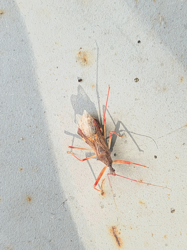
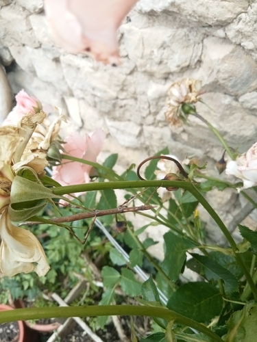

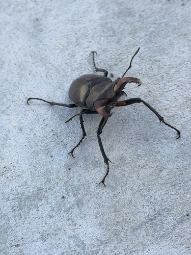
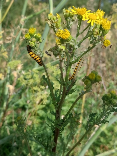
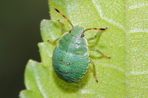
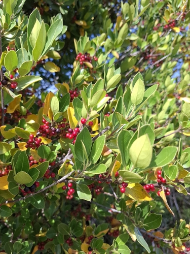
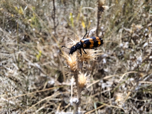
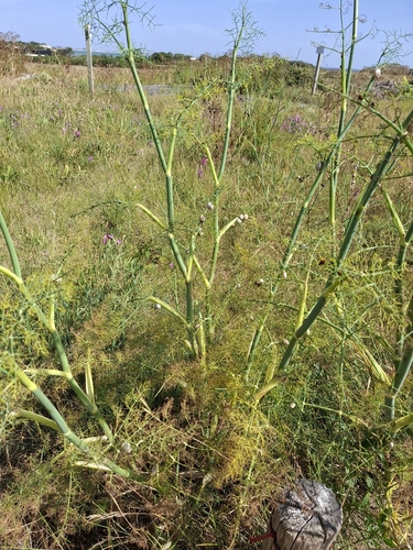
Research-grade observations from iNaturalist (within ~15 mi).
Events
Gallery
Official Identifiers
INSEE — French National Institute of Statistics
- INSEE code
- 17010
- Department
- 17
- Region
- 75
- Population (Wikidata)
- 4,240
geo.api.gouv.fr
Sources
- • Wikipedia
- • Wikidata
- • Open-Meteo Air Quality (CAMS)
- • USGS Earthquake Catalog (global feed)
- • GBIF (Global Biodiversity Information Facility)
- • iNaturalist
- • Open-Meteo / sunrise-sunset.org
- • Wikipedia Pageviews API
- • INSEE — French national statistics, via geo.api.gouv.fr (official commune code, population, surface, department, region)
- • INSEE — French National Institute of Statistics — geo.api.gouv.fr