Browse / France / Auvergne-Rhône-Alpes / Annecy
Annecy
Auvergne-Rhône-Alpescity

Annecy
Total population
131,715
Air quality index
Demographic figures from INSEE. Overview below cites Wikipedia and may reference a different year.
City facts
Facts from Wikidata (CC0).
Overview
Annecy is the prefecture and largest city of the Haute-Savoie department in the Auvergne-Rhône-Alpes region of Southeastern France. It lies on the northern tip of Lake Annecy, 35 kilometres (22 mi) south of Geneva, Switzerland.
Read more on WikipediaHistory & geography
History
Le vieil Annecy ("Old Annecy"; not to be confused with Annecy-le-Vieux, formerly a neighboring town but now merged into Annecy), was a settlement from the time of the Romans. Annecy was the court of the counts of Geneva or Genevois from the 10th century. It passed to the counts of Savoy in 1401. In 1444, it became the regional capital of the provinces of Genevois, Faucigny and Beaufortain. With the advance of Calvinism, Annecy became a centre for the Counter-Reformation, the old Bishopric of Geneva being transferred to it in 1535. Francis of Sales was born in Sales, France in 1567 and served as bishop of Annecy from 1602 to 1622; his relics are preserved in the cathedral. During the French Revolution, the Savoy region was conquered by France. Annecy became attached to the department of Mont Blanc, whose capital was Chambéry. The Catholic diocese was suppressed in 1801. After the Bourbon Restoration in 1815, Annecy was returned to the King of Sardinia and the Catholic diocese restored in 1822. The Hôtel de Ville (city hall) was completed in 1851. When Savoy was annexed to France in 1860 with the Treaty of Turin, it became the capital of the new department of Haute-Savoie. Annecy was the site of the second round of General Agreement on Tariffs and Trade (GATT) talks in 1949. In 2012, a multiple murder occurred in the Annecy area. A new municipality was established on 1 January 2017 with the merger of the former communes of Annecy-le-Vieux, Cran-Gevrier, Meythet, Pringy and Seynod.
Geography
The Fier forms part of the commune's northwestern border. The surrounding mountains are Mont Veyrier, Mont Semnoz, La Tournette and Parmelan. Annecy has an oceanic climate (Köppen: Cfb) despite its relatively far inland position. Influenced by its elevation, summers are rather moderate on average, although they can be highly variable with extreme heat spikes. Winters see occasional freezing temperatures, but temperatures most often stay in the single-digits centigrade during the daytime with frequent cold rain. Air frosts are normal during the night and snowfall is not uncommon.
Excerpted from the corresponding Wikipedia article (CC BY-SA).
Geography
Coordinates & boundaries from the US Census TIGER/Line shapefiles.
Climate
Air quality
Current readings from Open-Meteo Air Quality API (Copernicus CAMS European reanalysis).
Walkability
Amenities nearby
Wildlife & biodiversity
Most-observed species
- Eurasian BlackbirdTurdus merula Linnaeus, 1758 · Aves4,837
- Great TitParus major Linnaeus, 1758 · Aves4,229
- Common ChaffinchFringilla coelebs Linnaeus, 1758 · Aves4,094
- Eurasian Blue TitCyanistes caeruleus (Linnaeus, 1758) · Aves3,937
- Carrion CrowCorvus corone Linnaeus, 1758 · Aves3,615
- House SparrowPasser domesticus (Linnaeus, 1758) · Aves3,548
- European RobinErithacus rubecula (Linnaeus, 1758) · Aves3,117
- Great Spotted WoodpeckerDendrocopos major (Linnaeus, 1758) · Aves2,630
Citizen-science & research observations from the Global Biodiversity Information Facility (GBIF).
Earthquake history
Most recent
- M 3.6 — 2026-01-124 km SSW of Les Houches, France
- M 3.3 — 2025-05-068 km W of Chapareillan, France
- M 3.3 — 2022-09-257 km ESE of Ar?ches-la-Frasse, France
- M 4.5 — 2022-03-123 km S of Faverges, France
- M 3.4 — 2020-06-2311 km ESE of Samoëns, France
- M 3.2 — 2017-11-1710 km NNE of Saint-Rémy-de-Maurienne, France
Events from the USGS Earthquake Catalog (global) (FDSN Event Web Service).
Photos
Sights & places nearby
Notable people from here


People born within ~10 km, from Wikidata (CC0). Click any name for their Wikipedia article.
Nearby places in Auvergne-Rhône-Alpes
- Saint-Jorioz4.9 mi away · pop. 6,287
- Thorens-Glières8.9 mi away · pop. 9,547
- Contamine-Sarzin11.2 mi away · pop. 741
- Chaumont12.5 mi away · pop. 527
- Viry15.6 mi away · pop. 5,635
- Culoz17.1 mi away · pop. 3,426
- Éloise18 mi away · pop. 931
- Lavours18.2 mi away · pop. 136
- Génissiat18.8 mi away · pop. 1,123
- Cressin-Rochefort19.2 mi away · pop. 389
- Tresserve19.2 mi away · pop. 2,945
- Challex20.8 mi away · pop. 1,619
Geography & sun
Elevation, sunrise/sunset and daylight from Open-Meteo. Solar climatology from NASA POWER.
Nearby airports
Public attention
Pageview totals from the Wikimedia Pageviews API.
Books about this place
Recent natural events nearby
Ground air-quality sensors
Recently spotted species

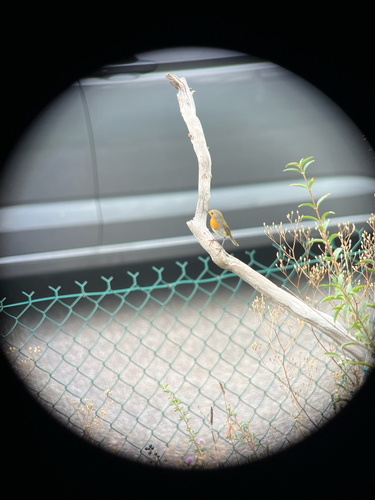
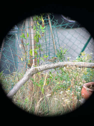
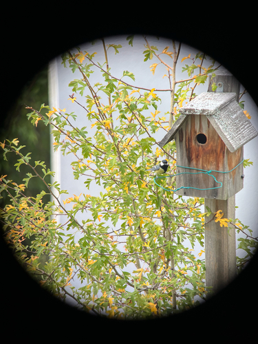
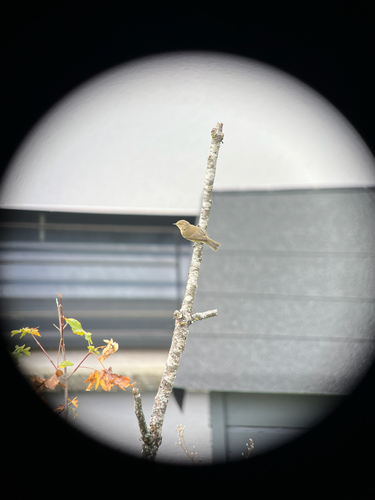
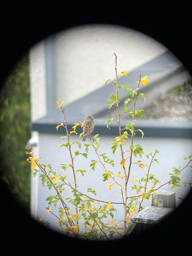
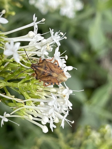

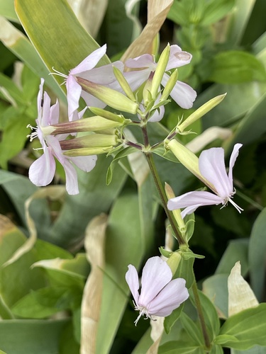
Research-grade observations from iNaturalist (within ~15 mi).
Events
Gallery
Geotagged photos within ~6 miles of Annecy, from Wikimedia Commons contributors.

.jpg)

.jpg)

.jpg)

.jpeg)
.jpeg)
.jpeg)
.jpeg)
.jpeg)
.jpeg)
.jpeg)
.jpeg)
.jpeg)
.jpeg)
.jpeg)
.jpeg)
.jpeg)
.jpeg)
.jpeg)
.jpeg)
.jpeg)
Photos via Wikimedia Commons — see each image page for license & attribution.
Official Identifiers
INSEE — French National Institute of Statistics
- INSEE code
- 74010
- Department
- 74
- Region
- 84
- Population (Wikidata)
- 132,117
geo.api.gouv.fr
Sources
- • Wikipedia
- • Wikimedia Commons
- • Wikidata
- • Open-Meteo Air Quality (CAMS)
- • USGS Earthquake Catalog (global feed)
- • GBIF (Global Biodiversity Information Facility)
- • iNaturalist
- • Open-Meteo / sunrise-sunset.org
- • Wikipedia Pageviews API
- • Wikidata SPARQL (CC0) — population, area, elevation, inception, head of government, Commons image
- • INSEE — French national statistics, via geo.api.gouv.fr (official commune code, population, surface, department, region)
- • INSEE — French National Institute of Statistics — geo.api.gouv.fr