Browse / France / Bourgogne-Franche-Comté / Arc-et-Senans
Arc-et-Senans
Bourgogne-Franche-Comtévillage

Arc-et-Senans
Total population
1,619
Demographic figures from INSEE. Overview below cites Wikipedia and may reference a different year.
City facts
Facts from Wikidata (CC0).
Overview
Arc-et-Senans is a commune in the Doubs department in the Bourgogne-Franche-Comté region of eastern France.
Read more on WikipediaHistory & geography
History
Traces of occupation dating back to the Roman era have been found, especially at a place called Le Cretot. Bones with broken tiles and bricks were visible in the soil during excavation. Father Letondal in his book Arc-et-Senans through the ages published in 1927 tells a quite complete communal history.
Geography
Arc-et-Senans is a large commune located some 32 km south-west of Besançon and 30 km east by south-east of Dole. It lies between the Loue river in the south and the Chaux forest in the north at 250 metres altitude. The northern western, and southern borders of the commune are the departmental border between Doubs and Jura. Only the short north-eastern border connects the commune to Doubs. Access to the commune is by the D17 from Liesle in the north-east which passes through the town and continues west, changing to the D7 at the border, to Chissey-sur-Loue. The D31 comes from Rans in the north, changing to the D17E at the border, and continues south, changing again to the D32, to Cramans. The commune has several hamlets: Arc to the west of the main town and Senans to the north-east almost link into one town. Then there are also the hamlets of Le Defois and Le Vernois. There is an SNCF railway station at Arc-et-Senans town which is a junction for two lines and is served by the TER Franche-Comté. There are forests to the north but most of the commune is farmland. The Loue river forms the southern and eastern border of the commune as it continues south to join the Doubs near Molay. The Ruisseau de la Reverotte flows from the north-east of the commune down the western side and forms part of the western border before continuing west to join the Loue east of Belmont.
Excerpted from the corresponding Wikipedia article (CC BY-SA).
Geography
Coordinates & boundaries from the US Census TIGER/Line shapefiles.
Climate
Air quality
Walkability
Amenities nearby
Wildlife & biodiversity
Most-observed species
- Great TitParus major Linnaeus, 1758 · Aves611
- Eurasian Blue TitCyanistes caeruleus (Linnaeus, 1758) · Aves564
- Common ChaffinchFringilla coelebs Linnaeus, 1758 · Aves542
- House SparrowPasser domesticus (Linnaeus, 1758) · Aves540
- Eurasian BlackbirdTurdus merula Linnaeus, 1758 · Aves405
- European RobinErithacus rubecula (Linnaeus, 1758) · Aves399
- European GreenfinchChloris chloris (Linnaeus, 1758) · Aves390
- Eurasian MagpiePica pica (Linnaeus, 1758) · Aves291
Citizen-science & research observations from the Global Biodiversity Information Facility (GBIF).
Earthquake history
Most recent
- M 4.4 — 2023-03-221 km NW of Pont-de-Roide, France
- M 4.1 — 2021-12-242 km WSW of Blamont, France
- M 4.1 — 2016-12-032 km SE of Damparis, France
- M 2.7 — 2008-07-223 km N of Devecey, France
- M 2.6 — 2008-02-213 km S of Longchamp, France
- M 2.8 — 2008-02-054 km ENE of Vercel-Villedieu-le-Camp, France
Events from the USGS Earthquake Catalog (global) (FDSN Event Web Service).
Photos
Sights & places nearby
Notable people from here
Geography & sun
Elevation, sunrise/sunset and daylight from Open-Meteo. Solar climatology from NASA POWER.
Nearby airports
Public attention
Pageview totals from the Wikimedia Pageviews API.
Books about this place
Recent natural events nearby
Ground air-quality sensors
Recently spotted species
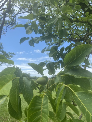
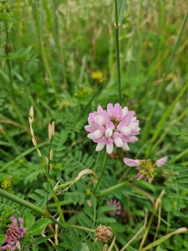
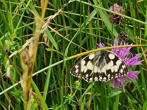
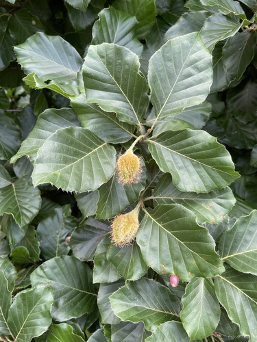

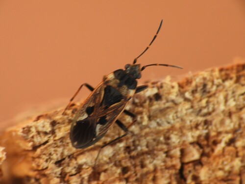
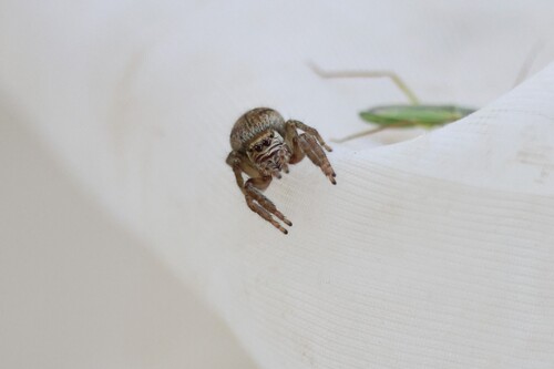
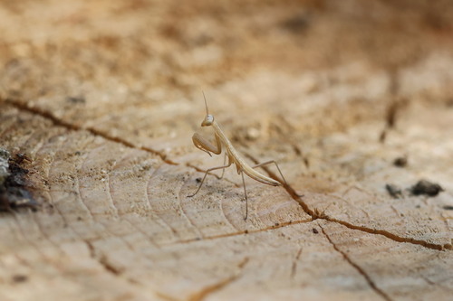
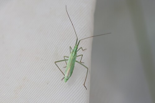
Research-grade observations from iNaturalist (within ~15 mi).
Events
Gallery
Official Identifiers
INSEE — French National Institute of Statistics
- INSEE code
- 25021
- Department
- 25
- Region
- 27
- Population (Wikidata)
- 1,620
geo.api.gouv.fr
Sources
- • Wikipedia
- • Wikidata
- • USGS Earthquake Catalog (global feed)
- • GBIF (Global Biodiversity Information Facility)
- • iNaturalist
- • Open-Meteo / sunrise-sunset.org
- • Wikipedia Pageviews API
- • INSEE — French national statistics, via geo.api.gouv.fr (official commune code, population, surface, department, region)
- • INSEE — French National Institute of Statistics — geo.api.gouv.fr