Browse / France / Grand Est / Artolsheim
Artolsheim
Grand Estvillage

Artolsheim
Total population
992
Demographic figures from INSEE. Overview below cites Wikipedia and may reference a different year.
City facts
Facts from Wikidata (CC0).
Overview
Artolsheim is a commune in the Bas-Rhin department in Alsace in northeastern France.
Read more on WikipediaHistory & geography
Geography
Artolsheim has the distinction of being further from the sea than any other place in France. The Gulf of Genoa and the mouth of the river Scheldt are both away.
Excerpted from the corresponding Wikipedia article (CC BY-SA).
Geography
Coordinates & boundaries from the US Census TIGER/Line shapefiles.
Climate
Air quality
Walkability
Amenities nearby
Wildlife & biodiversity
Most-observed species
- Eurasian BlackbirdTurdus merula Linnaeus, 1758 · Aves2,001
- Common ChaffinchFringilla coelebs Linnaeus, 1758 · Aves1,791
- Great TitParus major Linnaeus, 1758 · Aves1,780
- White StorkCiconia ciconia (Linnaeus, 1758) · Aves1,695
- Carrion CrowCorvus corone Linnaeus, 1758 · Aves1,563
- Common BuzzardButeo buteo (Linnaeus, 1758) · Aves1,551
- House SparrowPasser domesticus (Linnaeus, 1758) · Aves1,407
- Eurasian KestrelFalco tinnunculus Linnaeus, 1758 · Aves1,290
Citizen-science & research observations from the Global Biodiversity Information Facility (GBIF).
Earthquake history
Most recent
- M 3.5 — 2024-06-271 km SSW of Todtmoos, Germany
- M 3.9 — 2022-09-101 km WSW of Zimmersheim, France
- M 4 — 2022-07-092 km NNE of Grosselfingen, Germany
- M 4.1 — 2021-06-262 km SE of Hœrdt, France
- M 3.1 — 2018-05-042 km W of Schliengen, Germany
- M 3.6 — 2009-05-052 km NNW of Steinen, Germany
Events from the USGS Earthquake Catalog (global) (FDSN Event Web Service).
Photos
Sights & places nearby
Notable people from here


People born within ~10 km, from Wikidata (CC0). Click any name for their Wikipedia article.
Nearby places in Grand Est
- Hessenheim1 mi away · pop. 622
- Bœsenbiesen1.4 mi away · pop. 320
- Mussig2.7 mi away · pop. 1,139
- Sundhouse3.2 mi away · pop. 1,824
- Marckolsheim3.3 mi away · pop. 4,309
- Wittisheim3.9 mi away · pop. 2,076
- Muttersholtz4.5 mi away · pop. 2,228
- Hilsenheim5.5 mi away · pop. 2,626
- Artzenheim6.7 mi away · pop. 862
- Ebersmunster7.4 mi away · pop. 557
- Witternheim7.4 mi away · pop. 498
- Friesenheim8.2 mi away · pop. 614
Geography & sun
Elevation, sunrise/sunset and daylight from Open-Meteo. Solar climatology from NASA POWER.
Nearby airports
Public attention
Pageview totals from the Wikimedia Pageviews API.
Books about this place
Recent natural events nearby
Ground air-quality sensors
Recently spotted species
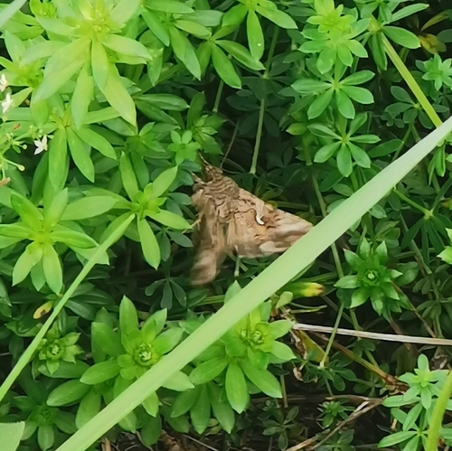
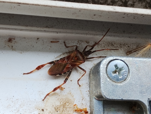
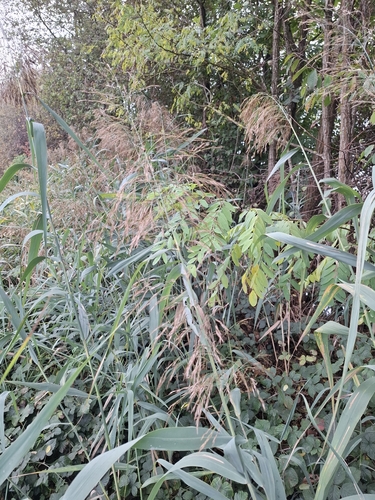
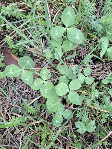
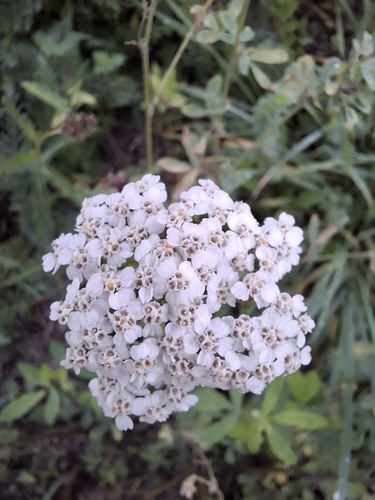
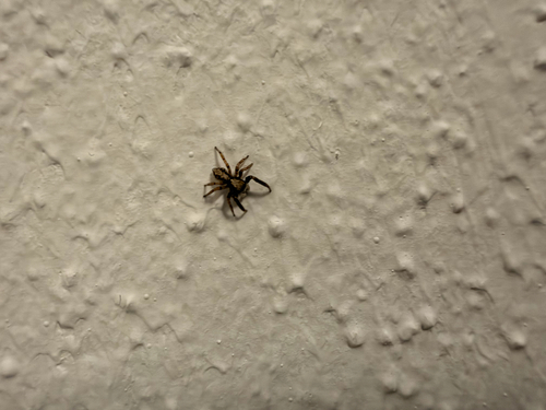

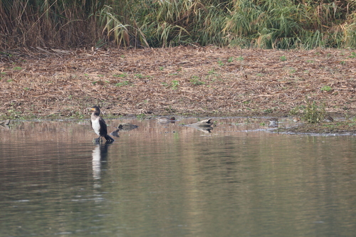
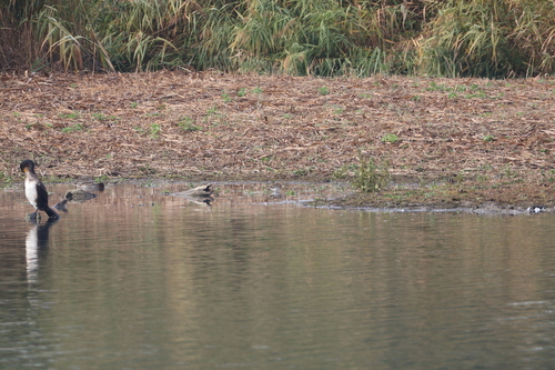
Research-grade observations from iNaturalist (within ~15 mi).
Events
Gallery
Official Identifiers
INSEE — French National Institute of Statistics
- INSEE code
- 67011
- Department
- 67
- Region
- 44
- Population (Wikidata)
- 1,005
geo.api.gouv.fr
Sources
- • Wikipedia
- • Wikidata
- • USGS Earthquake Catalog (global feed)
- • GBIF (Global Biodiversity Information Facility)
- • iNaturalist
- • Open-Meteo / sunrise-sunset.org
- • Wikipedia Pageviews API
- • INSEE — French national statistics, via geo.api.gouv.fr (official commune code, population, surface, department, region)
- • INSEE — French National Institute of Statistics — geo.api.gouv.fr