Browse / France / Provence-Alpes-Côte d'Azur / Aubagne
Aubagne
Provence-Alpes-Côte d'Azurtown

Aubagne
Total population
47,342
Demographic figures from INSEE. Overview below cites Wikipedia and may reference a different year.
City facts
Sister cities
Facts from Wikidata (CC0).
Overview
Aubagne is a commune in the department of Bouches-du-Rhône, southern France.
Read more on WikipediaHistory & geography
History
The name Aubagne derives from the Latin phrase ad bainea, meaning 'at the baths'. The death of Queen Joanna I of Naples began a conflict of succession as to who would become the head of the County of Provence. The Union of Aix, a confederation of cities in the region of Provence, supported Charles, Duke of Durazzo, rather than Louis I, Duke of Anjou. By the spring of 1382 the Lord of Aubagne, François des Baux, supported the Duke of Anjou. This support was conditional upon the Duke helping to restore the queen to her throne. On 4 April 1402 in Brantes, at the foot of Mont Ventoux, and in the presence of his wife Alix des Baux, Odon de Villars bestowed upon his nephew Philippe de Lévis the fiefs of Brantes, Plaisians and their dependencies: the Lordships of Saint-Marcel, Roquefort, le Castellet, Cassis, and Port-Miou which were dependencies of the barony of Aubagne, as well as La Fare-les-Oliviers, and Éguilles. In return, Philippe de Lévis would be surety for Viscount Raymond VIII of Turenne for the agreement between Odon de Villars, his wife Alix, and himself. If Odon and Alix failed to respect the terms of the agreement, they would have to pay 50,000 florins to the viscount.
Geography
Aubagne is located in the Huveaune Valley and surrounded by the mountain ranges of Garlaban with Sainte-Baume to the north and east of Marseille. Aubagne was the main city of the former Agglomeration community of Pays d'Aubagne et de l'Étoile; it has been part of the Aix-Marseille-Provence Metropolis since 2016. It is the sixth largest city of Bouches-du-Rhône by population. It is the main producer of Santon figurines and also hosts many cultural events each year. The Foreign Legion has its headquarters in Aubagne. Public transport has been free at the point of use since the year 2000. Access to the commune is by the A50 autoroute from Marseille which continues south to Toulon. The A501 and A52 autoroutes branch off the A50 in the commune and merge to go north to Aix-en-Provence. Numerous departmental roads go through the commune including: the D96 which goes north to Roquevaire, the D2 which goes east to Gémenos, the D8N which comes from Marseilles and goes south-east to Cuges-les-Pins, the D41E which goes south to Cassis, and many other connecting roads within the commune. There are several smaller towns and villages in the commune apart from the main town: Les Arnauds, Les Grands Mellets, Pinchon, La Martelle, L'Agrie, La Coueste, La Thuiliere, and Font de Mai. A large proportion of the commune is urban with mountainous terrain to north and south The main railway from Marseille passes through the commune splitting into two lines - one going north-west and one going south with a station in the town. The river Huveaune flows through the commune from the east flowing west into the Mediterranean Sea at Prado beach in the 8th Arrondissement in Marseille.
Excerpted from the corresponding Wikipedia article (CC BY-SA).
Geography
Coordinates & boundaries from the US Census TIGER/Line shapefiles.
Climate
Air quality
Walkability
Amenities nearby
Wildlife & biodiversity
Most-observed species
- Grey-leaved CistusCistus albidus L. · Magnoliopsida2,665
- Blue AphyllanthesAphyllanthes monspeliensis L. · Liliopsida1,730
- Eurasian Collared-DoveStreptopelia decaocto (Frivaldszky, 1838) · Aves1,720
- Mastic TreePistacia lentiscus L. · Magnoliopsida1,573
- LaurustinusViburnum tinus L. · Magnoliopsida1,530
- Eurasian MagpiePica pica (Linnaeus, 1758) · Aves1,529
- Yellow-legged GullLarus michahellis J.F.Naumann, 1840 · Aves1,497
- European RobinErithacus rubecula (Linnaeus, 1758) · Aves1,395
Citizen-science & research observations from the Global Biodiversity Information Facility (GBIF).
Earthquake history
Most recent
- M 2.5 — 2008-12-234 km ENE of Éguilles, France
- M 2.7 — 2008-10-0275 km SSW of Six-Fours-les-Plages, France
- M 2.5 — 2008-07-1977 km SSW of Six-Fours-les-Plages, France
- M 2.7 — 2008-05-216 km SSW of Carqueiranne, France
- M 2.6 — 2008-04-1564 km SSW of Port-Saint-Louis-du-Rhône, France
- M 2.7 — 2008-03-0428 km S of Le Lavandou, France
Events from the USGS Earthquake Catalog (global) (FDSN Event Web Service).
Photos
Sights & places nearby
Notable people from here


People born within ~10 km, from Wikidata (CC0). Click any name for their Wikipedia article.
Nearby places in Provence-Alpes-Côte d'Azur
- Carnoux-en-Provence2.4 mi away · pop. 6,747
- Roquefort-la-Bédoule3.3 mi away · pop. 5,861
- Ceyreste6.2 mi away · pop. 4,813
- Mimet9 mi away · pop. 4,187
- Belcodène9.3 mi away · pop. 1,948
- Saint-Zacharie9.4 mi away · pop. 5,931
- Simiane-Collongue11.5 mi away · pop. 5,849
- Nans-les-Pins12.1 mi away · pop. 4,968
- La Barque13 mi away
- Plan de Meyreuil13.1 mi away
- Pont de Bayeux14.7 mi away
- Calas15.9 mi away
Geography & sun
Elevation, sunrise/sunset and daylight from Open-Meteo. Solar climatology from NASA POWER.
Nearby airports
Public attention
Pageview totals from the Wikimedia Pageviews API.
Books about this place
Recent natural events nearby
Ground air-quality sensors
Recently spotted species
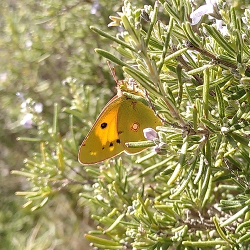
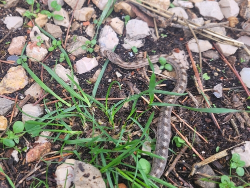
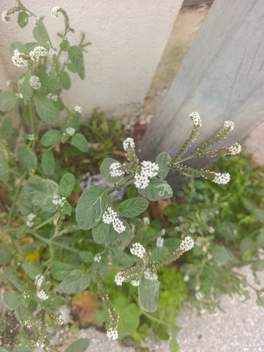

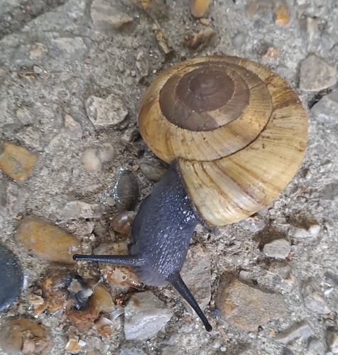
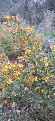
Research-grade observations from iNaturalist (within ~15 mi).
Events
Notable, recurring, and historical events associated with Aubagne, sourced from Wikidata.
- Tribute to Paul Varry in AubagneOct 19, 2024demonstration
gathering on 19 October 2024 in tribute to cyclist Paul Varry
Source: Wikidata (CC0).
Gallery
Official Identifiers
INSEE — French National Institute of Statistics
- INSEE code
- 13005
- Department
- 13
- Region
- 93
- Population (Wikidata)
- 47,529
geo.api.gouv.fr
Sources
- • Wikipedia
- • Wikidata
- • USGS Earthquake Catalog (global feed)
- • GBIF (Global Biodiversity Information Facility)
- • iNaturalist
- • Open-Meteo / sunrise-sunset.org
- • Wikipedia Pageviews API
- • Wikidata SPARQL (CC0) — population, area, elevation, inception, head of government, Commons image
- • INSEE — French national statistics, via geo.api.gouv.fr (official commune code, population, surface, department, region)
- • INSEE — French National Institute of Statistics — geo.api.gouv.fr