Browse / France / Auvergne-Rhône-Alpes / Aubière
Aubière
Auvergne-Rhône-Alpestown

Aubière
Total population
10,211
Demographic figures from INSEE. Overview below cites Wikipedia and may reference a different year.
City facts
Sister cities
Facts from Wikidata (CC0).
Overview
Aubière is a commune located in the department of Puy-de-Dôme in the Auvergne-Rhône-Alpes region in southeast France. As of 2023 its population was 10,459.
Read more on WikipediaHistory & geography
History
The earliest traces of the commune date back to the 13th century, when it was within the outer walls of a castle. Until the end of the 19th century, Aubière featured a sizeable winemaking industry, which ended after the phylloxera epidemic. Proof of that is the fact that most of the houses in the village contain a wine vat, and numerous wine cellars were built on the north and south edges of the Artière valley. Today there is only one wine producer in the village. The distinctive feature of these wine cellars is that they were constructed above ground because the water that runs under the houses creates a large amount of humidity in the basement. Thus, an urban legend has that people used to speak of going “up to the cellar” rather than “down to the cellar”. The Aubière Vine and Wine Museum preserves the traditional tools used in winemaking as well as most archival documents. The scope of this museum is not restricted to the village of Aubière, but covers wine produced elsewhere in Auvergne as well.
Geography
Aubière is located south of Clermont-Ferrand in the heart of the Puy-de-Dôme department, 3.7 km south-east of the city of Clermont-Ferrand. It borders the villages of Beaumont, Romagnat, Pérignat-lès-Sarliève, and Cournon-d’Auvergne. The Artière river, a tributary of the Allier, flows through the village from west to east. The river, a large part of which is underground, can flood at any moment. The quality of its water deteriorates when it converges with the Gazelle river, one of its tributaries. * A75 autoroute with two exits * Metropolitan road 2009 (formerly route nationale 9) * Other metropolitan roads: 21 (towards Romagnat), 69, 212 (towards Cournon-d'Auvergne and Billom), 777, 805 The nearest railway stations are located in the neighbouring commune of Clermont-Ferrand: the Gare de Clermont-Ferrand and the Gare de Clermont-La Pardieu. Since August 27, 2007, Aubière has contained three stops (Cézeaux Pellez, Campus, and Margeride) of the Clermont-Ferrand tramway. There are four bus lines (3, 12, 13, and 21).
Excerpted from the corresponding Wikipedia article (CC BY-SA).
Geography
Coordinates & boundaries from the US Census TIGER/Line shapefiles.
Climate
10-year averages from ERA5 reanalysis (Open-Meteo).
Air quality
Walkability
Amenities nearby
Wildlife & biodiversity
Most-observed species
- Eurasian BlackbirdTurdus merula Linnaeus, 1758 · Aves2,613
- Great TitParus major Linnaeus, 1758 · Aves2,495
- Eurasian Blue TitCyanistes caeruleus (Linnaeus, 1758) · Aves1,836
- Common ChaffinchFringilla coelebs Linnaeus, 1758 · Aves1,733
- European RobinErithacus rubecula (Linnaeus, 1758) · Aves1,686
- House SparrowPasser domesticus (Linnaeus, 1758) · Aves1,657
- Eurasian Collared-DoveStreptopelia decaocto (Frivaldszky, 1838) · Aves1,240
- Common Wood-PigeonColumba palumbus Linnaeus, 1758 · Aves1,234
Citizen-science & research observations from the Global Biodiversity Information Facility (GBIF).
Earthquake history
Most recent
- M 4.2 — 2022-05-095 km SW of Villebret, France
- M 2.6 — 2008-11-164 km N of Saint-Georges-de-Mons, France
- M 3 — 2008-11-042 km NE of Chaudes-Aigues, France
- M 2.6 — 2008-09-125 km E of Mont-Dore, France
- M 2.5 — 2008-09-129 km SSW of Saint-Sauves-d'Auvergne, France
- M 2.5 — 2008-09-117 km SW of Aydat, France
Events from the USGS Earthquake Catalog (global) (FDSN Event Web Service).
Photos
Sights & places nearby
Notable people from here


People born within ~10 km, from Wikidata (CC0). Click any name for their Wikipedia article.
Nearby places in Auvergne-Rhône-Alpes
- Romagnat1.8 mi away · pop. 7,869
- La Roche-Blanche3 mi away · pop. 3,436
- Royat3.3 mi away · pop. 4,403
- Le Cendre4 mi away · pop. 5,494
- Saint-Genès-Champanelle5 mi away · pop. 3,883
- Les Martres-de-Veyre5.9 mi away · pop. 3,863
- Sayat6.1 mi away · pop. 2,519
- Vertaizon8.5 mi away · pop. 3,358
- Vic-le-Comte9.7 mi away · pop. 5,242
- Riom9.8 mi away · pop. 18,736
- Orcival13.9 mi away · pop. 245
- Murol14.8 mi away · pop. 640
Geography & sun
Elevation, sunrise/sunset and daylight from Open-Meteo. Solar climatology from NASA POWER.
Nearby airports
Public attention
Pageview totals from the Wikimedia Pageviews API.
Books about this place
Recent natural events nearby
Ground air-quality sensors
Recently spotted species
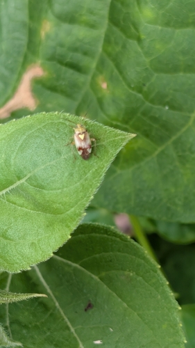
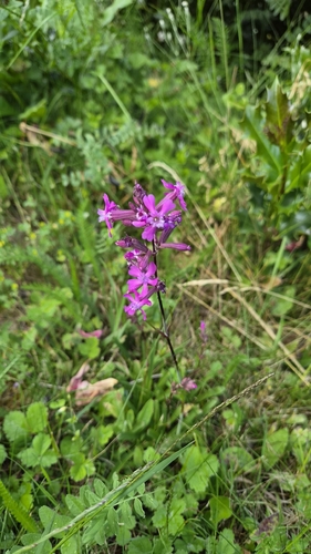
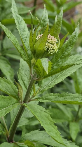
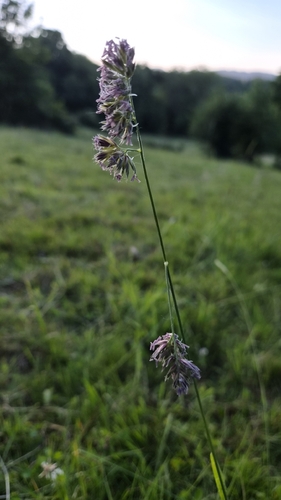
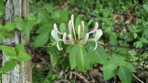
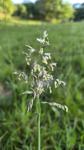
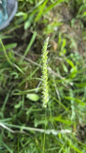
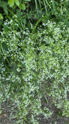
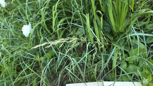
Research-grade observations from iNaturalist (within ~15 mi).
Events
Gallery
Geotagged photos within ~6 miles of Aubière, from Wikimedia Commons contributors.
 0 mi
0 mi 0.1 mi
 0.1 mi
 0.1 mi
 0.2 mi
 0.2 mi
 0.3 mi
 0.3 mi
 0.4 mi
 0.4 mi
 0.4 mi
 0.4 mi
 0.4 mi
 0.5 mi
 0.5 mi
 0.6 mi
 0.6 mi
 0.6 mi
.jpg) 0.6 mi
0.6 mi 0.6 mi
 0.6 mi
 0.6 mi
 0.6 mi
.jpg) 0.6 mi
0.6 miPhotos via Wikimedia Commons — see each image page for license & attribution.
Official Identifiers
INSEE — French National Institute of Statistics
- INSEE code
- 63014
- Department
- 63
- Region
- 84
- Population (Wikidata)
- 10,459
geo.api.gouv.fr
Sources
- • Wikipedia
- • Open-Meteo (ERA5 reanalysis)
- • Wikimedia Commons
- • Wikidata
- • USGS Earthquake Catalog (global feed)
- • GBIF (Global Biodiversity Information Facility)
- • iNaturalist
- • Open-Meteo / sunrise-sunset.org
- • Wikipedia Pageviews API
- • Wikidata SPARQL (CC0) — population, area, elevation, inception, head of government, Commons image
- • INSEE — French national statistics, via geo.api.gouv.fr (official commune code, population, surface, department, region)
- • INSEE — French National Institute of Statistics — geo.api.gouv.fr