Browse / France / Bourgogne-Franche-Comté / Autun
Autun
Bourgogne-Franche-Comtétown

Autun
Total population
13,145
Demographic figures from INSEE. Overview below cites Wikipedia and may reference a different year.
City facts
Sister cities
Facts from Wikidata (CC0).
Overview
Autun is a subprefecture of the Saône-et-Loire department in the Bourgogne-Franche-Comté region of central-eastern France. It was founded during the Principate era of the early Roman Empire by Emperor Augustus as Augustodunum to give a Roman capital to the Gallic people Aedui, who had Bibracte as their political centre. In Roman times the city may have been home to 30,000 to 100,000 people, according to different estimates. Nowadays, the commune has a population of about 13,000.
Read more on WikipediaHistory & geography
History
Augustodunum was founded during the reign of the first Roman emperor, Augustus, after whom it was named. It was the civitas "tribal capital" of the Aedui, Continental Celts who had been allies and "brothers" () of Rome since before Julius Caesar's Gallic Wars. Augustodunum was a planned foundation replacing the original oppidum Bibracte, located some away. Several elements of Roman architecture such as walls, gates, and a Roman theatre are still visible in the city. In AD 356, a force of Alemanni brought the siege of Autun. The disrepair of the walls left the city in danger of falling. Autun was saved by the arrival of the Emperor Julian in one of his early military successes. In Late antiquity, Autun became known for its schools of rhetoric. A world map based on the Geography of Ptolemy, famous for its size, was displayed in the portico of one of the schools. It may have survived until early modern times. In 532, the Merovingian kings Childebert I and Chlothar I in Battle of Autun defeated the Burgundians led by king Godomar and took over the country of Burgundy. In 642 or 643, another battle was fought near Autun between feuding Frankish noblemen. Leodegar (Léger; born 616 died 678) was bishop of Autun. He was tortured and killed in Lucheux, Somme on the orders of Ebroin, the Mayor of the Palace. Around 670 he had presided over the second council of Autun (after that of 599, which was convened by Bishop Syagre). In 880, Count Richard of Autun was made the first Duke of Burgundy. In 1506, Barthélemy de Chasseneuz made his reputation as an attorney, defending the rats of Autun against the charge of eating the barley crop. In 1788, Charles Maurice de Talleyrand-Périgord became bishop of Autun. He was elected member of the clergy for the Estates-General of…
Geography
The city rests on the southern edge of a depression called the Permian Autun Basin which includes the Autunian stratotype forming the Autunois. It is surrounded to the north by bocage meadows (bocage with wide mesh), to the west by the Morvan massif, and to the south by deciduous forests (domanial forest of Planoise) covering a sandstone plateau. The Autunois region is composed of sixty-four communes grouped into seven cantons. In the cantons of Autun-Nord and Autun-Sud are the following municipalities: Antully, Auxy, Curgy, Dracy-Saint-Loup, Monthelon, Saint-Forgeot and Tavernay. The commune lies in the northwest of the department. For the period 19712000, the average annual temperature was 10.5 °C, with an annual temperature range of 16.6 °C. The average annual cumulative precipitation was 1,061 mm, with 12.1 days of precipitation in January and 7.6 days in July. For the period 19912020, the average annual temperature observed at the meteorological station installed in the municipality was 10.7 °C and the average annual cumulative precipitation was 857.2 mm. The maximum temperature recorded at this station was 40 °C, reached on August 12, 2003; the minimum temperature was −18.3 °C, reached on 20 December 2009.
Excerpted from the corresponding Wikipedia article (CC BY-SA).
Geography
Coordinates & boundaries from the US Census TIGER/Line shapefiles.
Climate
10-year averages from ERA5 reanalysis (Open-Meteo).
Air quality
Walkability
Amenities nearby
Wildlife & biodiversity
Earthquake history
Photos
Sights & places nearby
Notable people from here


People born within ~10 km, from Wikidata (CC0). Click any name for their Wikipedia article.
Nearby places in Bourgogne-Franche-Comté
- Saint-Forgeot3.7 mi away · pop. 437
- Auxy4.9 mi away · pop. 906
- Laizy5.5 mi away · pop. 592
- Antully6.2 mi away · pop. 842
- Cordesse6.3 mi away · pop. 194
- Mesvres6.7 mi away · pop. 746
- La Grande-Verrière7.5 mi away · pop. 558
- Étang-sur-Arroux7.9 mi away · pop. 1,794
- Marmagne8.3 mi away · pop. 1,266
- Lucenay-l'Évêque9.4 mi away · pop. 320
- Saint-Martin-de-Commune10.4 mi away · pop. 101
- Saint-Firmin11.6 mi away · pop. 792
Geography & sun
Elevation, sunrise/sunset and daylight from Open-Meteo. Solar climatology from NASA POWER.
Nearby airports
Public attention
Pageview totals from the Wikimedia Pageviews API.
Books about this place
Recent natural events nearby
Ground air-quality sensors
Recently spotted species
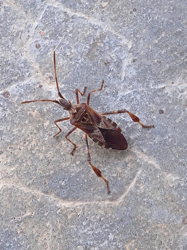
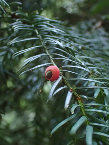
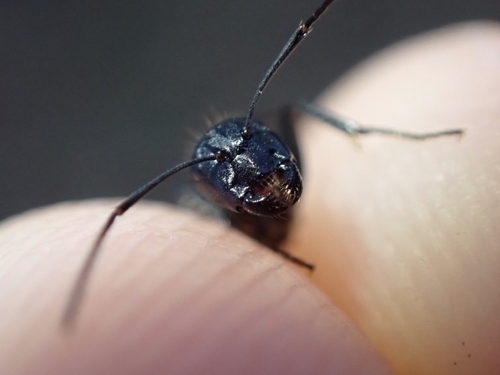
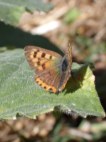
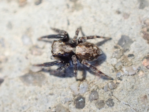
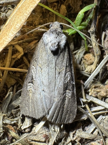
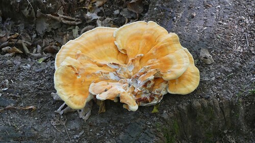
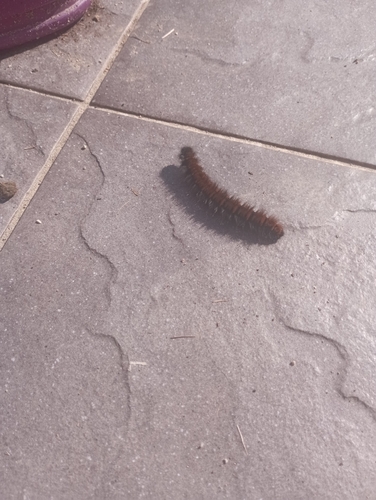
Research-grade observations from iNaturalist (within ~15 mi).
Events
Gallery
Geotagged photos within ~6 miles of Autun, from Wikimedia Commons contributors.
 0 mi
0 mi.jpg) 0 mi
0 mi 0 mi
0 mi_(37048718654).jpg) 0 mi
0 mi.jpg) 0 mi
0 mi.jpg) 0 mi
0 mi.jpg) 0 mi
0 mi.jpg) 0 mi
0 mi.jpg) 0 mi
0 mi 0.1 mi
 0.1 mi
.jpg) 0.1 mi
0.1 mi.jpg) 0.1 mi
0.1 mi.jpg) 0.1 mi
0.1 mi_(31491615020).jpg) 0.1 mi
0.1 mi_(31017572033).jpg) 0.1 mi
0.1 mi_(31023980734).jpg) 0.1 mi
0.1 mi_(30983768114).jpg) 0.1 mi
0.1 mi_(31807370892).jpg) 0.1 mi
0.1 mi_(31115128374).jpg) 0.1 mi
0.1 mi 0.1 mi
 0.1 mi
.jpg) 0.1 mi
0.1 mi_-_Mus%C3%A9e_Rolin_-_Cour_int%C3%A9rieure.jpg) 0.2 mi
0.2 miPhotos via Wikimedia Commons — see each image page for license & attribution.
Official Identifiers
INSEE — French National Institute of Statistics
- INSEE code
- 71014
- Department
- 71
- Region
- 27
- Population (Wikidata)
- 13,172
geo.api.gouv.fr
Sources
- • Wikipedia
- • Open-Meteo (ERA5 reanalysis)
- • Wikimedia Commons
- • Wikidata
- • iNaturalist
- • Open-Meteo / sunrise-sunset.org
- • Wikipedia Pageviews API
- • Wikidata SPARQL (CC0) — population, area, elevation, inception, head of government, Commons image
- • INSEE — French national statistics, via geo.api.gouv.fr (official commune code, population, surface, department, region)
- • INSEE — French National Institute of Statistics — geo.api.gouv.fr