Browse / France / Provence-Alpes-Côte d'Azur / Barrême
Barrême
Provence-Alpes-Côte d'Azurvillage

Barrême
Total population
405
Demographic figures from INSEE. Overview below cites Wikipedia and may reference a different year.
City facts
Facts from Wikidata (CC0).
Overview
Barrême is a rural commune in the southeastern French department of Alpes-de-Haute-Provence.
Read more on WikipediaHistory & geography
History
Augustus conquered the Valley of Asses at the same time as the Alps, which he completed in 14 BC. At the end of the Roman Empire it is certain that the Valley of Asses was annexed by the Civitas of Sanitensium (Senez) and its diocese. The village community had also supported Charles de Duras and also submitted in 1386. As with many communes in the department, Barrême adopted schools well before the Jules Ferry laws: in 1863 it had two, installed one in the main village and one in Gévaudan, both of which provided primary education for boys. No instruction was given for girls. The Falloux Laws (1851)require the opening of a school for girls if a commune had more than 800 inhabitants but this was not applied. With the first Duruy Law (1867), which lowered the threshold to 500 people Barrême decided to teach girls. The town benefited from the second Duruy Act (1877) to refurbish the village school. On 4 March 1944 two officers of the Gestapo were arrested by members of the Secret Army (AS). Vines were cultivated in the commune until the middle of the 20th century for home consumption only. This culture has since been abandoned.
Geography
Barrême is located at an altitude of 722 m some 20 km south-east of Digne-les-Bains and 15 km north-west of Castellane. Access to the commune is by Route nationale N85 which comes from Chaudon-Norante in the north-east and ends in the village. The N202 goes east from the village to Moriez. The D4085 goes south from the village to Senez. Apart from the village there are two hamlets: Gévaudan on a height near the N202, and la Basse-Palud. The Nice to Digne railway passes through the commune running parallel with the N85 and N202. It has three halts and one station: Saut du Loup, Barrême Station, La Tuiliere, and Gévaudan. *Forest fire *Flood *Landslide Barrême is exposed to one risk of technological origin: transport of dangerous good along the Route nationales. There is no plan for prevention of foreseeable natural risks (PPR) for the commune but there has been a DICRIM since 2011. The commune has been subjected to several natural disasters: in 1984 an earthquake; floods, landslides and mudslides in 1994, 1996, 2008 and 2011. Other than that of 1984 and that of 27 September 1911, whose epicentre was in the commune but was not felt, the earthquake felt the most was that of 19 March 1935 (epicentre at Saint-Clément-sur-Durance).
Excerpted from the corresponding Wikipedia article (CC BY-SA).
Geography
Coordinates & boundaries from the US Census TIGER/Line shapefiles.
Climate
Air quality
Walkability
Amenities nearby
Wildlife & biodiversity
Most-observed species
- Eurasian GriffonGyps fulvus (Hablizl, 1783) · Aves639
- Great TitParus major Linnaeus, 1758 · Aves437
- Common ChaffinchFringilla coelebs Linnaeus, 1758 · Aves409
- Eurasian Blue TitCyanistes caeruleus (Linnaeus, 1758) · Aves361
- House SparrowPasser domesticus (Linnaeus, 1758) · Aves349
- European RobinErithacus rubecula (Linnaeus, 1758) · Aves346
- Eurasian BlackbirdTurdus merula Linnaeus, 1758 · Aves336
- Eurasian Collared-DoveStreptopelia decaocto (Frivaldszky, 1838) · Aves305
Citizen-science & research observations from the Global Biodiversity Information Facility (GBIF).
Earthquake history
Most recent
- M 2.5 — 2025-03-201 km WSW of Cantaron, France
- M 3.1 — 2025-03-181 km ESE of Tourrette-Levens, France
- M 3.3 — 2025-03-182 km N of Berre-les-Alpes, France
- M 3.9 — 2024-12-098 km WNW of Acceglio, Italy
- M 4.1 — 2023-11-2110 km WSW of Acceglio, Italy
- M 4.1 — 2023-05-1616 km W of Pleyne, Italy
Events from the USGS Earthquake Catalog (global) (FDSN Event Web Service).
Photos
Sights & places nearby
Notable people from here
Nearby places in Provence-Alpes-Côte d'Azur
- Saint-Jacques1.2 mi away · pop. 76
- Chaudon-Norante3.3 mi away · pop. 185
- Gévaudan3.3 mi away
- Blieux5.6 mi away · pop. 54
- Entrages8.2 mi away · pop. 100
- Châteauredon8.7 mi away · pop. 71
- Cheiron8.7 mi away
- Angles9.5 mi away · pop. 69
- Castellane10.3 mi away · pop. 1,456
- Moustiers-Sainte-Marie10.4 mi away · pop. 706
- Rougon10.8 mi away · pop. 121
- Vergons11.2 mi away · pop. 111
Geography & sun
Elevation, sunrise/sunset and daylight from Open-Meteo. Solar climatology from NASA POWER.
Nearby airports
Public attention
Pageview totals from the Wikimedia Pageviews API.
Books about this place
Recent natural events nearby
Ground air-quality sensors
Recently spotted species

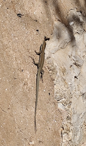
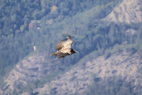
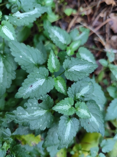
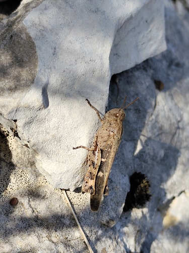
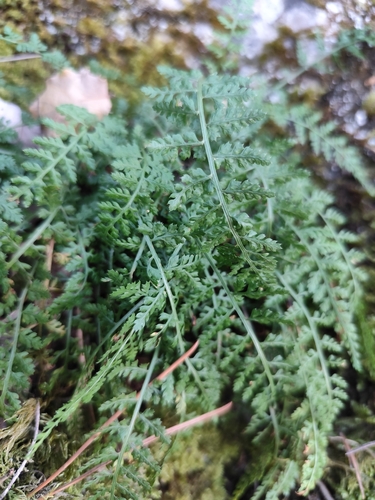
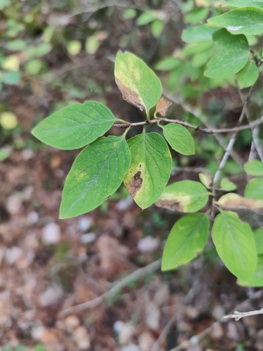
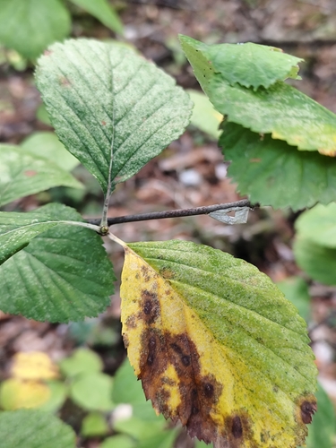
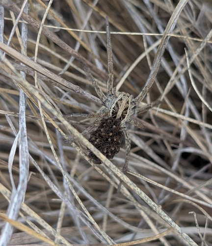
Research-grade observations from iNaturalist (within ~15 mi).
Events
Gallery
Official Identifiers
INSEE — French National Institute of Statistics
- INSEE code
- 04022
- Department
- 04
- Region
- 93
- Population (Wikidata)
- 413
geo.api.gouv.fr
Sources
- • Wikipedia
- • Wikidata
- • USGS Earthquake Catalog (global feed)
- • GBIF (Global Biodiversity Information Facility)
- • iNaturalist
- • Open-Meteo / sunrise-sunset.org
- • Wikipedia Pageviews API
- • INSEE — French national statistics, via geo.api.gouv.fr (official commune code, population, surface, department, region)
- • INSEE — French National Institute of Statistics — geo.api.gouv.fr