Browse / France / Provence-Alpes-Côte d'Azur / Berre-l'Étang
Berre-l'Étang
Provence-Alpes-Côte d'Azurtown

Berre-l'Étang
Total population
13,912
Demographic figures from INSEE. Overview below cites Wikipedia and may reference a different year.
City facts
Facts from Wikidata (CC0).
Overview
Berre-l'Étang is a commune in the Bouches-du-Rhône department in the Provence-Alpes-Côte d'Azur region in southern France.
Read more on WikipediaHistory & geography
History
As early as the Gallo-Roman period, a settlement, Cadaroscum, existed at Berre. The chapel of Notre-Dame de Caderot may already have been built in the third century on the site of a pagan temple. In the eleventh century, Berre was a walled settlement whose prosperity derived from salt extraction on the Étang de Berre. A first church dedicated to Saint Caesarius was built in 1041. During the Wars of Religion, Berre was captured on 20 August 1591 by Charles Emmanuel I, Duke of Savoy. The Étang de Berre has a rich aeronautical tradition. Already at the end of the First World War, the site of L’Arc, situated on the shore of the lake, developed into a training centre for seaplane pilots. It was also over the Étang de Berre that, on 28 March 1910, Henri Fabre successfully tested the first seaplane he had constructed himself. After a flight of approximately 600 metres over the water, his aircraft, the Canard, succeeded in alighting on the surface without incident. This constituted a world first. The training centre disappeared in 1926, but the seaplane base remained in operation. From November 1942 onwards, it was occupied by the Germans as part of Operation Anton, the code name for the military occupation of the so-called free zone of Vichy France by Germany and Italy. The operation was launched on 12 November 1942 in response to Operation Torch, the Allied landings in North Africa. During the Second World War, the Vichy government considered the construction, on the territory of Berre-l’Étang, of what was intended to become the largest airfield in southern Europe. This prestigious post-war project was designed to replace the existing airfield, which was considered too small, with a large intercontinental infrastructure covering approximately 900 hectares. Its…
Excerpted from the corresponding Wikipedia article (CC BY-SA).
Geography
Coordinates & boundaries from the US Census TIGER/Line shapefiles.
Climate
Air quality
Walkability
Amenities nearby
Wildlife & biodiversity
Most-observed species
- Eurasian MagpiePica pica (Linnaeus, 1758) · Aves1,109
- Grey-leaved CistusCistus albidus L. · Magnoliopsida952
- Yellow-legged GullLarus michahellis J.F.Naumann, 1840 · Aves899
- giant orchidHimantoglossum robertianum (Loisel.) P.Delforge · Liliopsida849
- Eurasian Collared-DoveStreptopelia decaocto (Frivaldszky, 1838) · Aves735
- Tree MedickMedicago arborea L. · Magnoliopsida671
- Great TitParus major Linnaeus, 1758 · Aves642
- Common Wood-PigeonColumba palumbus Linnaeus, 1758 · Aves610
Citizen-science & research observations from the Global Biodiversity Information Facility (GBIF).
Earthquake history
Most recent
- M 2.5 — 2008-12-234 km ENE of Éguilles, France
- M 2.7 — 2008-05-216 km SSW of Carqueiranne, France
- M 2.6 — 2008-04-1564 km SSW of Port-Saint-Louis-du-Rhône, France
- M 2.6 — 2007-08-031 km NE of Jonquières-Saint-Vincent, France
- M 2.6 — 2007-05-239 km SSW of Carqueiranne, France
- M 2.5 — 2007-02-253 km SSE of Barjols, France
Events from the USGS Earthquake Catalog (global) (FDSN Event Web Service).
Photos
Sights & places nearby
Notable people from here


People born within ~10 km, from Wikidata (CC0). Click any name for their Wikipedia article.
Nearby places in Provence-Alpes-Côte d'Azur
Geography & sun
Elevation, sunrise/sunset and daylight from Open-Meteo. Solar climatology from NASA POWER.
Nearby airports
Public attention
Pageview totals from the Wikimedia Pageviews API.
Books about this place
Recent natural events nearby
Ground air-quality sensors
Recently spotted species
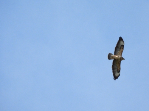
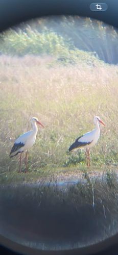
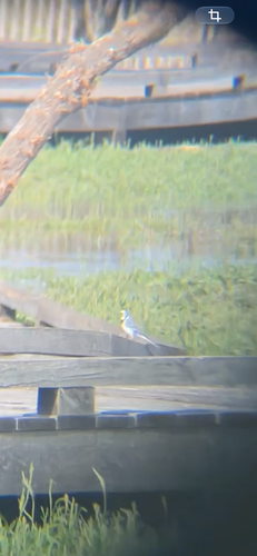
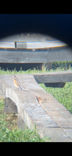
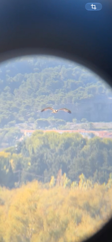
Research-grade observations from iNaturalist (within ~15 mi).
Events
Gallery
Official Identifiers
INSEE — French National Institute of Statistics
- INSEE code
- 13014
- Department
- 13
- Region
- 93
- Population (Wikidata)
- 13,832
geo.api.gouv.fr
Sources
- • Wikipedia
- • Wikidata
- • USGS Earthquake Catalog (global feed)
- • GBIF (Global Biodiversity Information Facility)
- • iNaturalist
- • Open-Meteo / sunrise-sunset.org
- • Wikipedia Pageviews API
- • Wikidata SPARQL (CC0) — population, area, elevation, inception, head of government, Commons image
- • INSEE — French national statistics, via geo.api.gouv.fr (official commune code, population, surface, department, region)
- • INSEE — French National Institute of Statistics — geo.api.gouv.fr