Browse / France / Bourgogne-Franche-Comté / Besançon
Besançon
Bourgogne-Franche-Comtécity

Besançon
Total population
119,198
Demographic figures from INSEE. Overview below cites Wikipedia and may reference a different year.
City facts
Sister cities
Facts from Wikidata (CC0).
Overview
Besançon is a French city that serves as the capital of the department of Doubs in the region of Bourgogne-Franche-Comté. The city is located in Eastern France, close to the Jura Mountains and the border with Switzerland.
Read more on WikipediaHistory & geography
History
The city is first recorded in 58 BC as Vesontio in Book I of Julius Caesar's Commentarii de Bello Gallico. The etymology of Vesontio is uncertain. The most common explanation is that the name is of Celtic origin, derived from wes, meaning 'mountain'. During the 4th century, the letter B took the place of the V, and the city name changed to Besontio or Bisontion and then underwent several transformations to become Besançon in 1243. The city sits within an oxbow of the river Doubs (a tributary of the Saône); a mountain closes the fourth side. During the Bronze Age, c. 1500 BC, tribes of Gauls settled the oxbow. From the 1st century BC through the modern era, the town had a significant military importance because the Alps rise abruptly to its immediate south, presenting a significant natural barrier. The Arar (Saône) River formed part of the border between the Haedui and their hereditary rivals, the Sequani. According to Strabo, the cause of the conflict was commercial. Each tribe claimed the Arar and the tolls on trade along it. The Sequani controlled access to the Rhine and had built an oppidum (a fortified town) at Vesontio to protect their interests. The Sequani defeated and massacred the Haedui at the Battle of Magetobriga, with the help of the Arverni tribe and the Germanic Suebi tribe under the Germanic king Ariovistus. Julius Caesar, in his commentaries detailing his conquest of Gaul, describes Vesontio (possibly Latinized), as the largest town of the Sequani, a smaller Gaulic tribe, and mentions that a wooden palisade surrounded it. It appears as Vesontine in the Tabula Peutingeriana. Over the centuries, the name permutated to become Besantio, Besontion, Bisanz in Middle High German, and gradually arrived at the modern French Besançon. The locals retain…
Geography
Besançon is located in the north-east quarter of France on the river Doubs. It is about east of the national capital of Paris, east of Dijon in Burgundy, northwest of Lausanne in Switzerland, and southwest of Belfort in Franche-Comté. It is located at the edge of the Jura Mountains. The city initially developed in a natural meander (or oxbow loop) of the river Doubs with a diameter of almost . The flat inner loop has an elevation of about , and is bounded to the south by a hill called Mont Saint-Étienne, which has a maximum height of . The city is surrounded by six other hills which range in elevation from : Brégille, Griffon, Planoise, Chaudanne, Montfaucon, and Montboucon. (There is a barge canal that cuts through rock under Mont Saint-Étienne, short-cutting the meander.) Besançon has an oceanic climate (Köppen: Cfb, Trewartha: Do), with cool to cold winters, warm summers, and frequent precipitation year-round. The year-round average is . The warmest month is July with an average temperature of , and the coldest is January, with an average temperature of . Besançon receives about of precipitation per year.
Excerpted from the corresponding Wikipedia article (CC BY-SA).
Geography
Coordinates & boundaries from the US Census TIGER/Line shapefiles.
Climate
Air quality
Walkability
Amenities nearby
Wildlife & biodiversity
Earthquake history
Photos
Sights & places nearby
Notable people from here


People born within ~10 km, from Wikidata (CC0). Click any name for their Wikipedia article.
Nearby places in Bourgogne-Franche-Comté
- Montfaucon2.6 mi away · pop. 1,582
- Arguel2.9 mi away · pop. 238
- Thise4.1 mi away · pop. 3,000
- Miserey-Salines4.2 mi away · pop. 2,659
- Tallenay4.6 mi away · pop. 432
- Franois4.7 mi away · pop. 2,260
- Rancenay4.9 mi away · pop. 412
- Champvans-les-Moulins5.3 mi away · pop. 318
- Braillans5.8 mi away · pop. 206
- Novillars6.1 mi away · pop. 1,396
- Geneuille6.4 mi away · pop. 1,282
- Vaux-les-Prés6.6 mi away · pop. 360
Geography & sun
Elevation, sunrise/sunset and daylight from Open-Meteo. Solar climatology from NASA POWER.
Nearby airports
Public attention
Pageview totals from the Wikimedia Pageviews API.
Books about Besançon
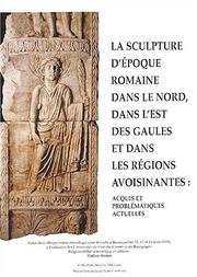
Search results from Open Library.
Recent natural events nearby
Ground air-quality sensors
Recently spotted species
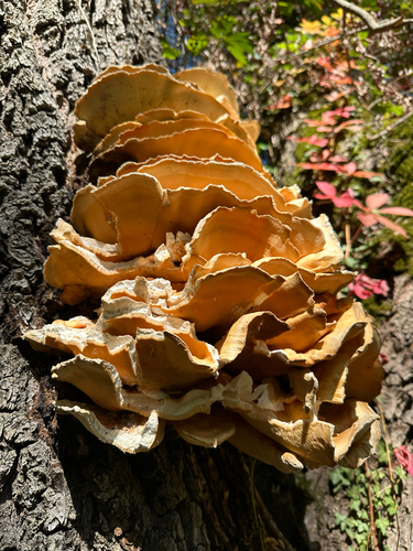

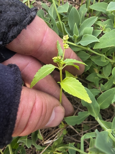


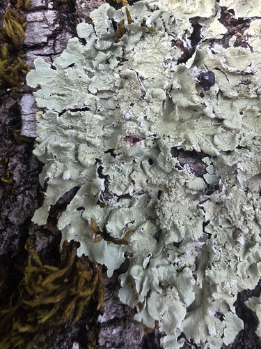
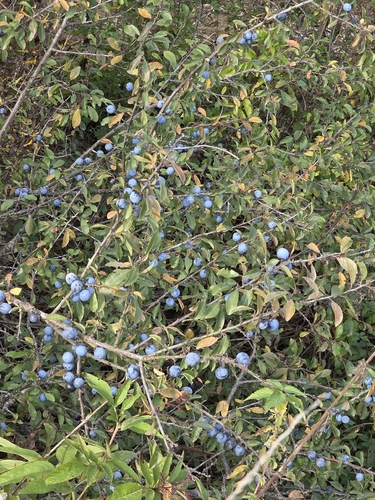
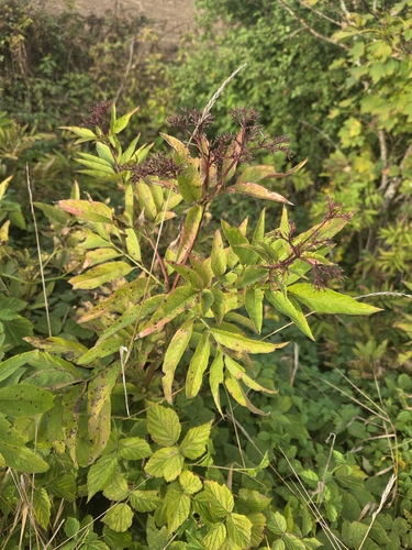
Research-grade observations from iNaturalist (within ~15 mi).
Events
Gallery
Official Identifiers
INSEE — French National Institute of Statistics
- INSEE code
- 25056
- Department
- 25
- Region
- 27
- Population (Wikidata)
- 118,489
geo.api.gouv.fr
Sources
- • Wikipedia
- • Wikidata
- • iNaturalist
- • Open-Meteo / sunrise-sunset.org
- • Wikipedia Pageviews API
- • Open Library
- • Wikidata SPARQL (CC0) — population, area, elevation, inception, head of government, Commons image
- • INSEE — French national statistics, via geo.api.gouv.fr (official commune code, population, surface, department, region)
- • INSEE — French National Institute of Statistics — geo.api.gouv.fr