Browse / France / Normandie / Bois-Guillaume
Bois-Guillaume
Normandietown

Bois-Guillaume
Total population
14,262
Founded
2014
Air quality index
Demographic figures from INSEE. Overview below cites Wikipedia and may reference a different year.
City facts
Sister cities
Facts from Wikidata (CC0).
Overview
Bois-Guillaume is a commune in the Seine-Maritime department in the Normandy region in northern France.
Read more on WikipediaHistory & geography
History
Bois-Guillaume was originally a Gallo-Roman settlement of which few traces remain. Local legend claims that in 1040 William the Conqueror's mother built a country house on the hill and the area thus came to be known variously as Boscum Guillelmi or Bosco Willelmi, later becoming Bois-Guillaume. There is, however, no serious evidence of any link to William the Conqueror; this derivation of the town's name is therefore in all likelihood a folk etymology. By the late 19th century, nearby Rouen had expanded to such an extent that parts of Bois-Guillaume had become urbanized. This led to tensions between the urban neighborhoods closest to Rouen (such as Bihorel) and the rest of the commune, which had remained more rural. The situation came to a head in 1892, when Bihorel split from Bois-Guillaume and became a commune in its own right. As a result of the split, the commune of Bois-Guillaume saw its territory reduced by 22% and its population reduced by 38%. In 2010, the municipal councils of Bois-Guillaume and Bihorel began to cooperate more closely, with a view to merging in order to become a single commune once again. In July 2011, despite opposition among residents of both communes, the merger was approved by the two municipal councils and ratified by prefectoral order on 29 August 2011. The new commune of Bois-Guillaume-Bihorel came into being on 1 January 2012. Following an appeal, however, the prefectoral order was repealed on 18 June 2013, and the new commune was disbanded on 31 December 2013; on 1 January 2014, the two former communes of Bois-Guillaume and Bihorel were reinstated.
Geography
The town is a wealthy, residential hilltop suburb of Rouen, semi-rural, semi-suburban with a little farming and some light industry. It is considered part of Greater Rouen, being just to the northeast, at the junction of the D43 and the D928 roads.
Excerpted from the corresponding Wikipedia article (CC BY-SA).
Geography
Coordinates & boundaries from the US Census TIGER/Line shapefiles.
Climate
10-year averages from ERA5 reanalysis (Open-Meteo).
Air quality
Current readings from Open-Meteo Air Quality API (Copernicus CAMS European reanalysis).
Walkability
Amenities nearby
Wildlife & biodiversity
Most-observed species
- Eurasian BlackbirdTurdus merula Linnaeus, 1758 · Aves2,143
- House SparrowPasser domesticus (Linnaeus, 1758) · Aves1,922
- Eurasian Blue TitCyanistes caeruleus (Linnaeus, 1758) · Aves1,787
- Great TitParus major Linnaeus, 1758 · Aves1,765
- Common Wood-PigeonColumba palumbus Linnaeus, 1758 · Aves1,743
- Common ChaffinchFringilla coelebs Linnaeus, 1758 · Aves1,552
- European RobinErithacus rubecula (Linnaeus, 1758) · Aves1,457
- Carrion CrowCorvus corone Linnaeus, 1758 · Aves1,366
Citizen-science & research observations from the Global Biodiversity Information Facility (GBIF).
Earthquake history
Most recent
- M 3 — 2008-11-193 km NNW of Varengeville-sur-Mer, France
- M 3.1 — 2008-11-1813 km NW of Varengeville-sur-Mer, France
- M 3 — 2008-11-184 km NW of Varengeville-sur-Mer, France
- M 3.1 — 2008-11-1813 km NW of Varengeville-sur-Mer, France
- M 3.5 — 2007-08-012 km SSE of Blonville-sur-Mer, France
- M 2.6 — 2007-07-2415 km W of Étretat, France
Events from the USGS Earthquake Catalog (global) (FDSN Event Web Service).
Photos
Sights & places nearby
Notable people from here


People born within ~10 km, from Wikidata (CC0). Click any name for their Wikipedia article.
Nearby places in Normandie
- Déville-lès-Rouen3.2 mi away · pop. 10,745
- Saint-Léger-du-Bourg-Denis3.5 mi away · pop. 3,641
- Préaux4.6 mi away · pop. 1,863
- Malaunay5.3 mi away · pop. 6,143
- Eslettes6 mi away · pop. 1,641
- Boos6.8 mi away · pop. 3,991
- Petit-Couronne7.3 mi away · pop. 8,688
- Hénouville7.3 mi away · pop. 1,379
- Val-de-la-Haye8.4 mi away · pop. 708
- Ymare8.7 mi away · pop. 1,212
- Fresne-le-Plan8.9 mi away · pop. 554
- Bardouville9 mi away · pop. 612
Geography & sun
Elevation, sunrise/sunset and daylight from Open-Meteo. Solar climatology from NASA POWER.
Nearby airports
Public attention
Pageview totals from the Wikimedia Pageviews API.
Books about this place
Recent natural events nearby
Ground air-quality sensors
Recently spotted species
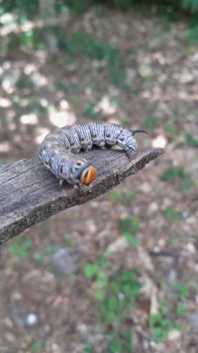
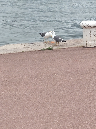
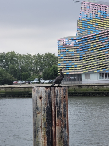
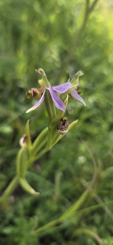
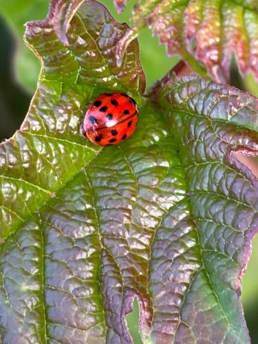
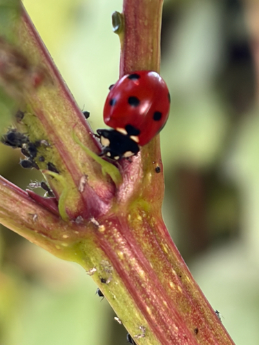
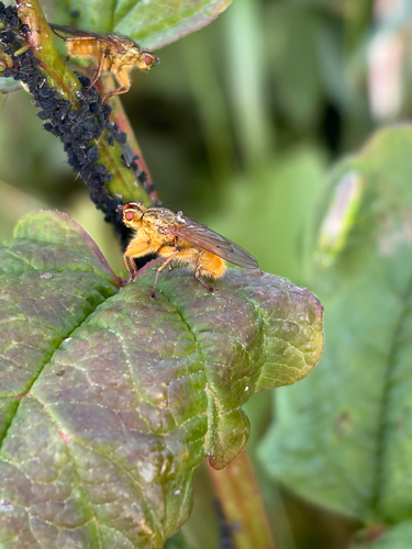
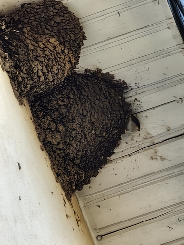
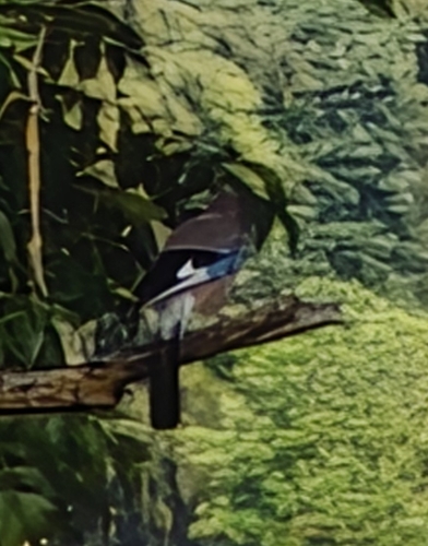
Research-grade observations from iNaturalist (within ~15 mi).
Events
Gallery
Geotagged photos within ~6 miles of Bois-Guillaume, from Wikimedia Commons contributors.
,_France_-_%C3%89clairage_nocturne_-_Face.jpg) 0 mi
0 mi,_France_-_%C3%89clairage_nocturne_-_Depuis_le_parc_du_C%C5%93ur_de_Ville.jpg) 0 mi
0 mi,_France_-_Lumi%C3%A8re_en_fin_d%E2%80%99apr%C3%A8s-midi.jpg) 0 mi
0 mi 0.3 mi
 0.4 mi
 0.4 mi
 0.4 mi
 0.4 mi
 0.4 mi
 1 mi
1 mi 1 mi
1 mi 1.1 mi
 1.1 mi
 1.1 mi
 1.1 mi
 1.2 mi
 1.3 mi
 1.3 mi
 1.3 mi
 1.3 mi
 1.3 mi
 1.3 mi
 1.3 mi
 1.3 mi
Photos via Wikimedia Commons — see each image page for license & attribution.
Official Identifiers
INSEE — French National Institute of Statistics
- INSEE code
- 76108
- Department
- 76
- Region
- 28
- Population (Wikidata)
- 14,539
geo.api.gouv.fr
Sources
- • Wikipedia
- • Open-Meteo (ERA5 reanalysis)
- • Wikimedia Commons
- • Wikidata
- • Open-Meteo Air Quality (CAMS)
- • USGS Earthquake Catalog (global feed)
- • GBIF (Global Biodiversity Information Facility)
- • iNaturalist
- • Open-Elevation
- • Open-Meteo / sunrise-sunset.org
- • Wikipedia Pageviews API
- • Wikidata SPARQL (CC0) — population, area, elevation, inception, head of government, Commons image
- • INSEE — French national statistics, via geo.api.gouv.fr (official commune code, population, surface, department, region)
- • INSEE — French National Institute of Statistics — geo.api.gouv.fr