Browse / France / Nouvelle-Aquitaine / Bordeaux
Bordeaux
Nouvelle-Aquitainecity

Bordeaux
Total population
261,804
Demographic figures from INSEE. Overview below cites Wikipedia and may reference a different year.
City facts
Facts from Wikidata (CC0).
Overview
Bordeaux is a city on the river Garonne in the Gironde department, southwestern France. A port city, it is the capital of the Nouvelle-Aquitaine region, as well as the prefecture of the Gironde department. Its inhabitants are called "Bordelais" (masculine) or "Bordelaises" (feminine). The term "Bordelais" may also refer to the city and its surrounding region.
Read more on WikipediaHistory & geography
History
Around 300 BC, the region was the settlement of a Celtic tribe, the Bituriges Vivisci, who named the town Burdigala, probably of Aquitanian origin. In 107 BC, the Battle of Burdigala was fought by the Romans who were defending the Allobroges, a Gallic tribe allied to Rome, and the Tigurini led by Divico. The Romans were defeated and their commander, the consul Lucius Cassius Longinus, was killed in battle. The city came under Roman rule around 60 BC, and it became an important commercial centre for tin and lead. During this period were built the amphitheatre and the monument Les Piliers de Tutelle. In 276 AD, it was sacked by the Vandals. The Vandals attacked again in 409, followed by the Visigoths in 414, and the Franks in 498, and afterwards the city fell into a period of relative obscurity. In the late 6th century AD the city re-emerged as the seat of a county and an archdiocese within the Merovingian kingdom of the Franks, but royal Frankish power was never strong. The city started to play a regional role as a major urban center on the fringes of the newly founded Frankish Duchy of Vasconia. Around 585 Gallactorius was made Count of Bordeaux and fought the Basques. In 732, the city was plundered by the troops of Abd er Rahman who stormed the fortifications and overwhelmed the Aquitanian garrison. Duke Eudes mustered a force to engage the Umayyads, eventually engaging them in the Battle of the River Garonne somewhere near the river Dordogne. The battle had a high death toll, and although Eudes was defeated he had enough troops to engage in the Battle of Poitiers and so retain his grip on Aquitaine. In 737, following his father Eudes's death, the Aquitanian duke Hunald led a rebellion to which Charles responded by launching an expedition that captured Bordeaux.…
Geography
Bordeaux is located close to the European Atlantic coast, in the southwest of France and in the north of the Aquitaine region. It is around southwest of Paris. The city is built on a bend of the river Garonne, and is divided into two parts: the right bank to the east and left bank in the west. Historically the left bank is more developed because when flowing outside the bend, the water makes a furrow of the required depth to allow the passing of merchant ships, which used to offload on this side of the river. But, today, the right bank is developing, including new urban projects. In Bordeaux, the Garonne River is accessible to ocean liners through the Gironde estuary. The right bank of the Garonne is a low-lying, often marshy plain. Bordeaux's climate can be classified as oceanic (Köppen climate classification Cfb), bordering on a humid subtropical climate (Cfa). However, the Trewartha climate classification system classifies the city as solely humid subtropical, due to a recent rise in temperatures related – to some degree or another – to climate change and the city's urban heat island. The city enjoys cool to mild, wet winters, due to its relatively southerly latitude, and the prevalence of mild, westerly winds from the Atlantic. Its summers are warm and somewhat drier, although wet enough to avoid a Mediterranean classification. Frosts occur annually, but snowfall is quite infrequent, occurring for no more than 3–4 days a year. The summer of 2003 set a record with an average temperature of , while February 1956 was the coldest month on record with an average temperature of at Bordeaux–Mérignac Airport.
Excerpted from the corresponding Wikipedia article (CC BY-SA).
Geography
Coordinates & boundaries from the US Census TIGER/Line shapefiles.
Climate
Air quality
Walkability
Amenities nearby
Wildlife & biodiversity
Most-observed species
- Eurasian BlackbirdTurdus merula Linnaeus, 1758 · Aves4,094
- European RobinErithacus rubecula (Linnaeus, 1758) · Aves3,699
- Great TitParus major Linnaeus, 1758 · Aves3,579
- House SparrowPasser domesticus (Linnaeus, 1758) · Aves3,464
- European StarlingSturnus vulgaris Linnaeus, 1758 · Aves2,864
- Eurasian MagpiePica pica (Linnaeus, 1758) · Aves2,672
- Eurasian Blue TitCyanistes caeruleus (Linnaeus, 1758) · Aves2,576
- Eurasian Collared-DoveStreptopelia decaocto (Frivaldszky, 1838) · Aves2,568
Citizen-science & research observations from the Global Biodiversity Information Facility (GBIF).
Earthquake history
Most recent
- M 3.2 — 2019-04-067 km ENE of Chevanceaux, France
- M 4.5 — 2019-03-205 km NNE of Montendre, France
- M 2.6 — 2006-09-306 km ENE of Barbezieux-Saint-Hilaire, France
- M 2.8 — 2006-07-090 km NNW of Médis, France
- M 3 — 2004-08-0519 km W of Biscarrosse, France
- M 2.9 — 2004-07-197 km NW of Pontenx-les-Forges, France
Events from the USGS Earthquake Catalog (global) (FDSN Event Web Service).
Photos
Sights & places nearby
Notable people from here


People born within ~10 km, from Wikidata (CC0). Click any name for their Wikipedia article.
Nearby places in Nouvelle-Aquitaine
- Artigues-près-Bordeaux4.4 mi away · pop. 8,623
- Bassens5.2 mi away · pop. 7,842
- Sainte-Eulalie6.9 mi away · pop. 4,925
- Camblanes-et-Meynac6.9 mi away · pop. 3,093
- Lignan-de-Bordeaux8 mi away · pop. 836
- Saint-Aubin-de-Médoc8.7 mi away · pop. 7,583
- Le Pian-Médoc9 mi away · pop. 7,105
- Sallebœuf9 mi away · pop. 2,728
- Isle-Saint-Georges9.5 mi away · pop. 520
- Saint-Sulpice-et-Cameyrac10.4 mi away · pop. 4,879
- La Brède11.4 mi away · pop. 4,469
- Haux12.6 mi away · pop. 837
Geography & sun
Elevation, sunrise/sunset and daylight from Open-Meteo. Solar climatology from NASA POWER.
Nearby airports
Public attention
Pageview totals from the Wikimedia Pageviews API.
Books about Bordeaux
Search results from Open Library.
Recent natural events nearby
Ground air-quality sensors
Recently spotted species
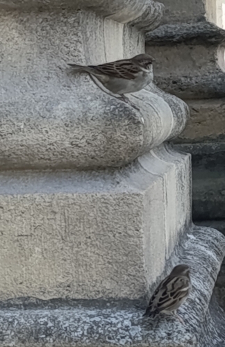
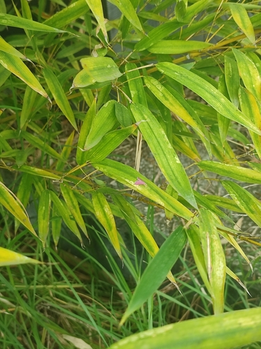
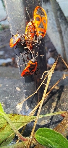
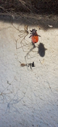
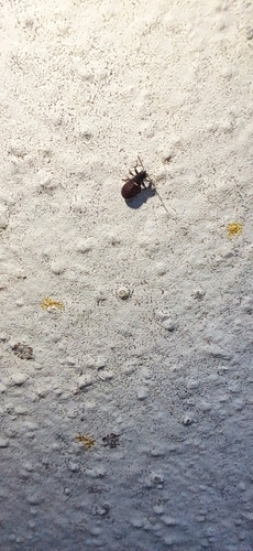
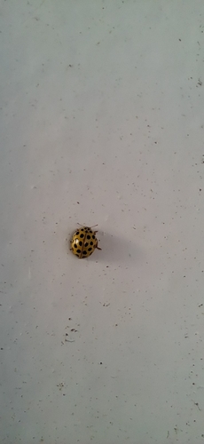
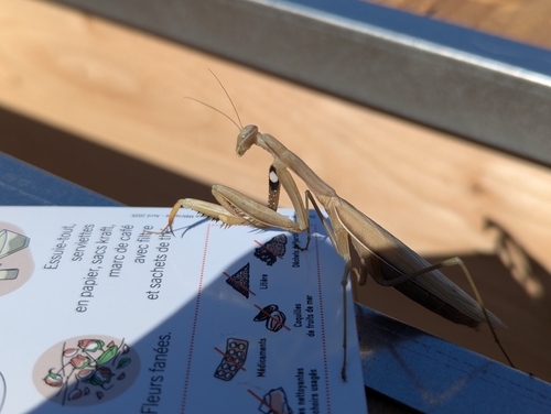
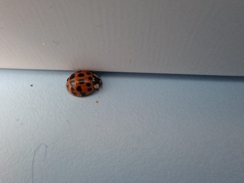
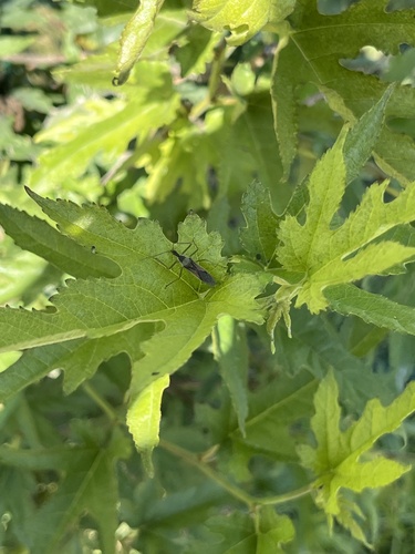
Research-grade observations from iNaturalist (within ~15 mi).
Events
Notable, recurring, and historical events associated with Bordeaux, sourced from Wikidata.
- Tribute to Paul Varry in BordeauxOct 19, 2024demonstration
gathering on 19 October 2024 in tribute to cyclist Paul Varry
Source: Wikidata (CC0).
Gallery
Geotagged photos within ~6 miles of Bordeaux, from Wikimedia Commons contributors.


.jpg)


.jpg)

.jpg)


.jpeg)

_-_2022-09-10_-_2.jpg)
_-_2022-09-10_-_1.jpg)


Photos via Wikimedia Commons — see each image page for license & attribution.
Official Identifiers
INSEE — French National Institute of Statistics
- INSEE code
- 33063
- Department
- 33
- Region
- 75
- Population (Wikidata)
- 267,991
geo.api.gouv.fr
Sources
- • Wikipedia
- • Wikimedia Commons
- • Wikidata
- • USGS Earthquake Catalog (global feed)
- • GBIF (Global Biodiversity Information Facility)
- • iNaturalist
- • Open-Meteo / sunrise-sunset.org
- • Wikipedia Pageviews API
- • Open Library
- • Wikidata SPARQL (CC0) — population, area, elevation, inception, head of government, Commons image
- • INSEE — French national statistics, via geo.api.gouv.fr (official commune code, population, surface, department, region)
- • INSEE — French National Institute of Statistics — geo.api.gouv.fr