Browse / France / Provence-Alpes-Côte d'Azur / Bouc-Bel-Air
Bouc-Bel-Air
Provence-Alpes-Côte d'Azurtown

Bouc-Bel-Air
Total population
15,248
Demographic figures from INSEE. Overview below cites Wikipedia and may reference a different year.
City facts
Facts from Wikidata (CC0).
Overview
Bouc-Bel-Air is a commune in the Bouches-du-Rhône department, Provence-Alpes-Côte d'Azur region in Southern France. It is situated between Aix-en-Provence to the north, Gardanne to the east, Marseille to the south and Vitrolles to the west. The old village is located at the summit of a small hill.
Read more on WikipediaHistory & geography
History
Inhabited since very ancient times, its sites witness of Roman-Gallic settlings. Some of these sites date to the 7th century BC. Invasions of the Barbarians took place in the 7th century AD, the probable foundation date of the village. The mother of Adolphe Thiers, second President of France (31 August 1871 – 24 May 1873), was from Bouc-Bel-Air.
Excerpted from the corresponding Wikipedia article (CC BY-SA).
Geography
Coordinates & boundaries from the US Census TIGER/Line shapefiles.
Climate
Air quality
Walkability
Amenities nearby
Wildlife & biodiversity
Earthquake history
Photos
Sights & places nearby
Notable people from here


People born within ~10 km, from Wikidata (CC0). Click any name for their Wikipedia article.
Nearby places in Provence-Alpes-Côte d'Azur
- Simiane-Collongue2 mi away · pop. 5,849
- Calas3 mi away
- Mimet5.3 mi away · pop. 4,187
- Le Tholonet7 mi away · pop. 2,355
- Fuveau7.4 mi away · pop. 10,115
- Belcodène9 mi away · pop. 1,948
- Vauvenargues12 mi away · pop. 1,041
- Meyrargues14 mi away · pop. 3,830
- Carnoux-en-Provence15.4 mi away · pop. 6,747
- Saint-Zacharie15.5 mi away · pop. 5,931
- Carry-le-Rouet15.5 mi away · pop. 5,708
- Saint-Estève-Janson16.3 mi away · pop. 372
Geography & sun
Elevation, sunrise/sunset and daylight from Open-Meteo. Solar climatology from NASA POWER.
Nearby airports
Public attention
Pageview totals from the Wikimedia Pageviews API.
Books about this place
Recent natural events nearby
Ground air-quality sensors
Recently spotted species
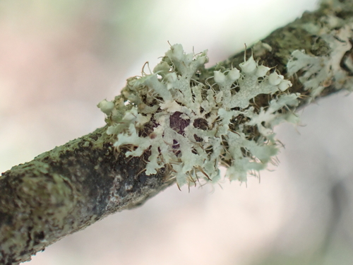
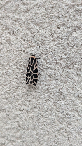
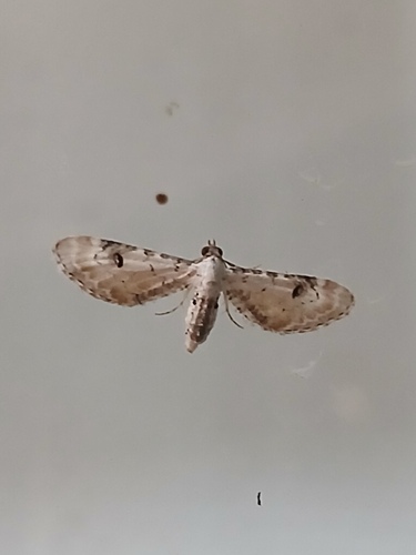
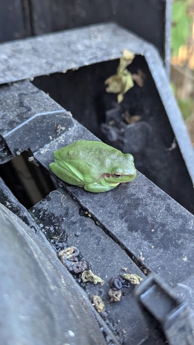
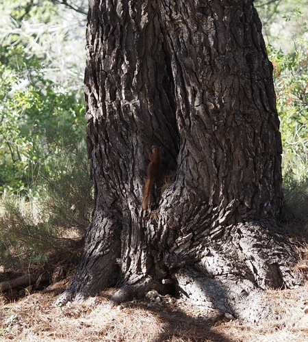
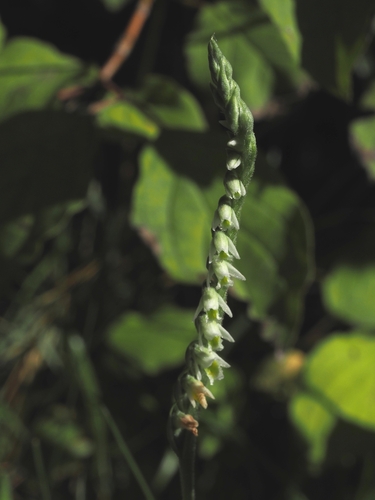
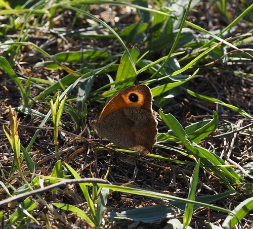
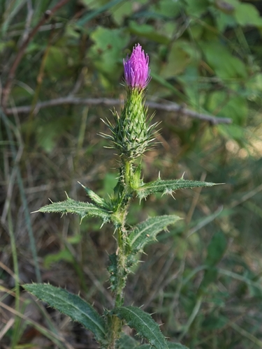
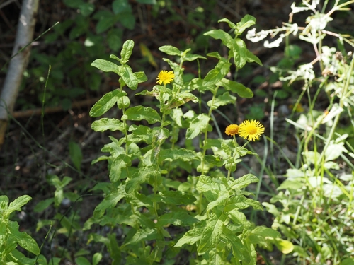
Research-grade observations from iNaturalist (within ~15 mi).
Events
Gallery
Official Identifiers
INSEE — French National Institute of Statistics
- INSEE code
- 13015
- Department
- 13
- Region
- 93
- Population (Wikidata)
- 15,381
geo.api.gouv.fr
Sources
- • Wikipedia
- • Wikidata
- • iNaturalist
- • Open-Meteo / sunrise-sunset.org
- • Wikipedia Pageviews API
- • Wikidata SPARQL (CC0) — population, area, elevation, inception, head of government, Commons image
- • INSEE — French national statistics, via geo.api.gouv.fr (official commune code, population, surface, department, region)
- • INSEE — French National Institute of Statistics — geo.api.gouv.fr