Browse / France / Occitanie / Bouillargues
Bouillargues
Occitanievillage

Bouillargues
Total population
6,192
Demographic figures from INSEE. Overview below cites Wikipedia and may reference a different year.
City facts
Facts from Wikidata (CC0).
Overview
Bouillargues is a commune in the Gard department in southern France. It includes the hamlets of Garons, Caissargues and Rodilhan. It is situated to the southeast and close to the city of Nimes and in 2023 it had just over 6,000 residents.
Read more on WikipediaHistory & geography
History
The suffix "-argues", common in the south of France, suggests that the town of Bouillargues has been in existence since antiquity. Originally called "Buliancius" after Bublius who owned property there, it was known as Bouillargues in 1706. In 1182, there was already a community consisting of four farms or estates. The sixteenth century saw turbulent times in the area during the French wars of religion. The Catholics revolted in 1572 and the town changed hands several times, with the church being destroyed and then rebuilt. In 1654, the Huguenots built a temple but this was ordered to be demolished in 1663. By 1737, Joseph de Louet, Baron de Manduel had subjugated the village and his place was later taken by François Hercule Massip. In 1790, Bouillargues became a commune, and later the hamlets of Garons, Caissargues and Rodilhan were annexed. The commune of Rodilhan was created in 1961 from part of the commune of Bouillargues.
Geography
Bouillargues is located just southeast of the city of Nimes, at the northern edge of the Camargue and between two major highways, the N113 and the RD 135. The centre of Nimes is away, the airport is to the south, Montpellier is away, Avignon , Marseille and Paris . The climate in Bouillargues is hot in summer and mild in winter. As of January 2013, there were just over 6,000 inhabitants of the town. The area was renowned for its production of grain.
Excerpted from the corresponding Wikipedia article (CC BY-SA).
Geography
Coordinates & boundaries from the US Census TIGER/Line shapefiles.
Climate
Air quality
Walkability
Amenities nearby
Wildlife & biodiversity
Earthquake history
Photos
Sights & places nearby
Notable people from here
Geography & sun
Nearby airports
Public attention
Books about this place
Recent natural events nearby
Ground air-quality sensors
Recently spotted species
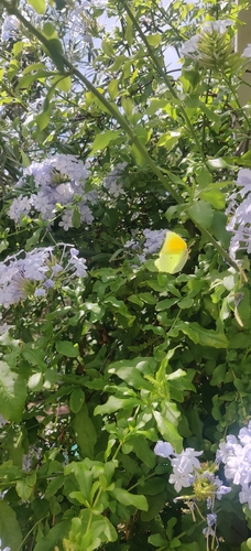
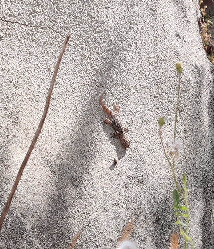
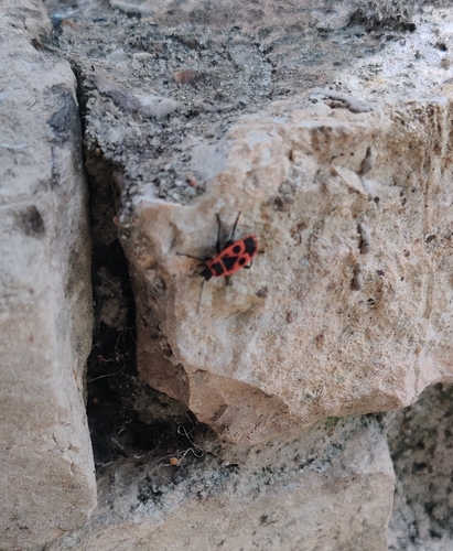
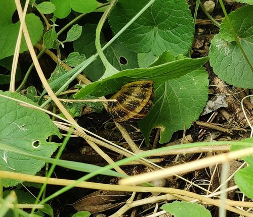
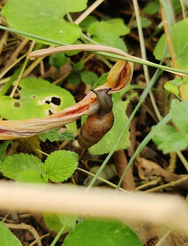
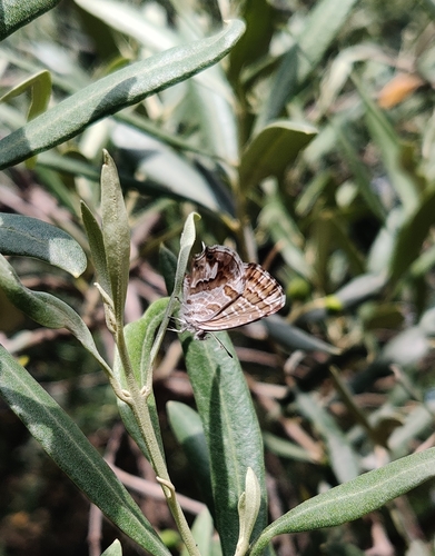
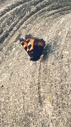
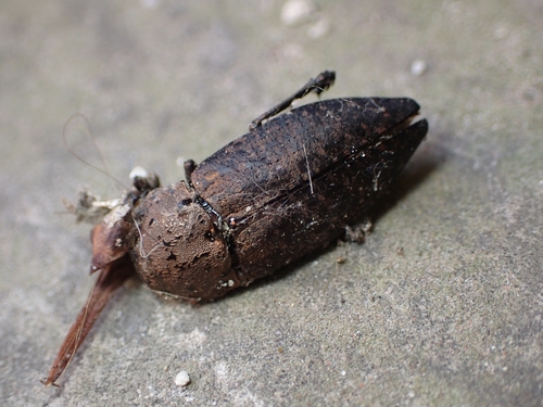
Research-grade observations from iNaturalist (within ~15 mi).
Events
Gallery
Official Identifiers
INSEE — French National Institute of Statistics
- INSEE code
- 30047
- Department
- 30
- Region
- 76
- Population (Wikidata)
- 6,070
geo.api.gouv.fr
Sources
- • Wikipedia
- • Wikidata
- • iNaturalist
- • INSEE — French national statistics, via geo.api.gouv.fr (official commune code, population, surface, department, region)
- • INSEE — French National Institute of Statistics — geo.api.gouv.fr