Browse / France / Auvergne-Rhône-Alpes / Bourg-Saint-Andéol
Bourg-Saint-Andéol
Auvergne-Rhône-Alpesvillage

Bourg-Saint-Andéol
Total population
7,352
Air quality index
Demographic figures from INSEE. Overview below cites Wikipedia and may reference a different year.
City facts
Sister cities
Facts from Wikidata (CC0).
Overview
Bourg-Saint-Andéol is a commune in the Ardèche department in the Rhône Valley in southern France.
Read more on WikipediaHistory & geography
History
The Gallic settlement on a rocky peak over the Rhône was called Bergoiata. Near the town is a sculpted bas relief of the god Mithras. It acquired its present name after Saint Andeolus, the 'apostle of the Vivarais', a disciple of St. Polycarp, supposedly arriving from Asia Minor, who evangelized the area under Emperor Septimius Severus, and was martyred in 208. The region was named Helvia in Julius Caesar's De Bello Gallico, with Alba-la-Romaine as capital city, then Vivarais from the mediaeval times after the see of Viviers, a region of Languedoc province during Ancien Régime until départements were created at the French Revolution. Due to the citizen's engagement for the Revolution, the town's name rejected a while the little known saint and was named Bourg-sur-Rhône. (At the Napoleonic times, Andéol had already been brought in back...) * It had been the seat of a bailli (royal magistrate). And the bishop of Viviers had settled several decades in Renaissance times in the city (the Bishops' Palace). It is the seat of the mother houses of the Congregation of the Presentation of Mary and of the Religious Congregations of the Presentation. The city had grown and become one of the most important towns of county Vivarais due to its position on the Rhône (boatmen mariniers du Rhône, trade and business in hide, fabric, wine, oil). Several patricians' houses are still to be seen in the centre of the city (although a part of it was bombed by Allied forces at the end of World War II, missing the hanging bridge - which was replaced afterwards by the existing one).
Geography
It lies directly along the river Rhône at the southeast end of the department south of the smaller town Viviers, from Pierrelatte eastwards across the river in the département Drôme and from Pont-Saint-Esprit, in the north of the département of Gard. to the south-west starts the nearby Ardèche Gorges in Saint-Martin-d'Ardèche.
Excerpted from the corresponding Wikipedia article (CC BY-SA).
Geography
Coordinates & boundaries from the US Census TIGER/Line shapefiles.
Climate
Air quality
Current readings from Open-Meteo Air Quality API (Copernicus CAMS European reanalysis).
Walkability
Amenities nearby
Wildlife & biodiversity
Earthquake history
Most recent
- M 4.8 — 2019-11-115 km WNW of Rochemaure, France
- M 4.3 — 2011-08-034 km ESE of Barjac, France
- M 2.8 — 2008-11-252 km N of Malataverne, France
- M 2.6 — 2008-01-247 km S of Le Cheylard, France
- M 2.5 — 2008-01-224 km NW of Cruas, France
- M 2.6 — 2007-08-031 km NE of Jonquières-Saint-Vincent, France
Events from the USGS Earthquake Catalog (global) (FDSN Event Web Service).
Photos
Sights & places nearby
Notable people from here


People born within ~10 km, from Wikidata (CC0). Click any name for their Wikipedia article.
Nearby places in Auvergne-Rhône-Alpes
- La Garde-Adhémar5.5 mi away · pop. 1,136
- Saint-Restitut7.6 mi away · pop. 1,467
- Clansayes8 mi away · pop. 523
- Viviers8.1 mi away · pop. 3,674
- Valaurie9 mi away · pop. 703
- La Baume-de-Transit11 mi away · pop. 928
- Chamaret11.8 mi away · pop. 512
- Saint-Maurice-d'Ibie12 mi away · pop. 214
- Labastide-de-Virac12.1 mi away · pop. 317
- Bouchet12.3 mi away · pop. 1,459
- Lagorce12.5 mi away · pop. 1,195
- Colonzelle12.6 mi away · pop. 537
Geography & sun
Nearby airports
Public attention
Books about this place
Recent natural events nearby
Ground air-quality sensors
Recently spotted species
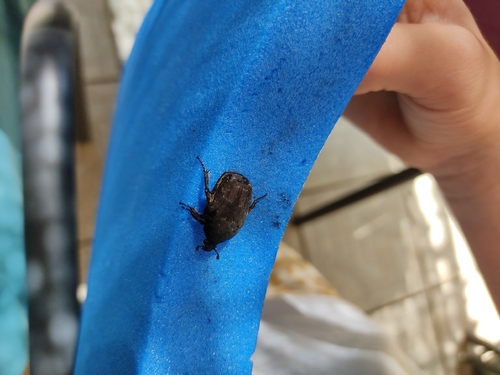
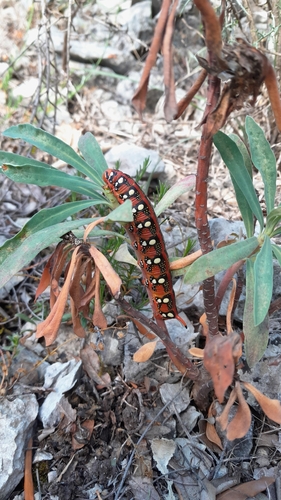
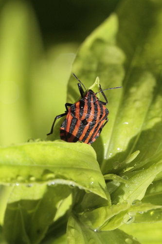
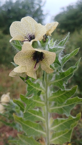
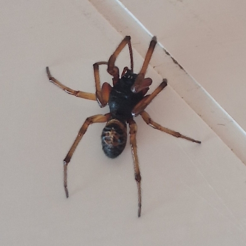
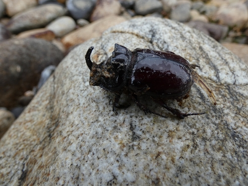
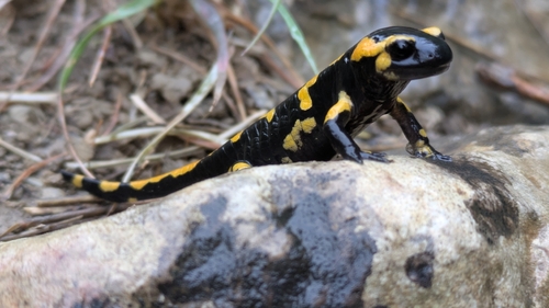
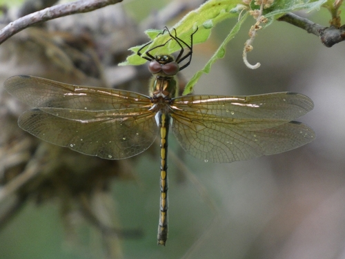
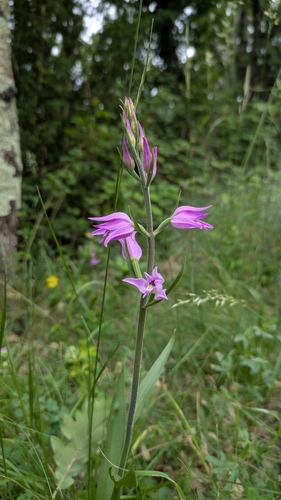
Research-grade observations from iNaturalist (within ~15 mi).
Events
Gallery
Official Identifiers
INSEE — French National Institute of Statistics
- INSEE code
- 07042
- Department
- 07
- Region
- 84
- Population (Wikidata)
- 7,661
geo.api.gouv.fr
Sources
- • Wikipedia
- • Wikidata
- • Open-Meteo Air Quality (CAMS)
- • USGS Earthquake Catalog (global feed)
- • iNaturalist
- • INSEE — French national statistics, via geo.api.gouv.fr (official commune code, population, surface, department, region)
- • INSEE — French National Institute of Statistics — geo.api.gouv.fr