Browse / France / Grand Est / Bouxières-aux-Chênes
Bouxières-aux-Chênes
Grand Estvillage

Bouxières-aux-Chênes
Total population
1,409
Demographic figures from INSEE. Overview below cites Wikipedia and may reference a different year.
City facts
Facts from Wikidata (CC0).
Overview
Bouxières-aux-Chênes is a commune in the Meurthe-et-Moselle department in northeastern France.
Read more on WikipediaHistory & geography
Geography
Coordinates & boundaries from the US Census TIGER/Line shapefiles.
Climate
Air quality
Walkability
Amenities nearby
Wildlife & biodiversity
Most-observed species
- Great TitParus major Linnaeus, 1758 · Aves1,450
- Eurasian Blue TitCyanistes caeruleus (Linnaeus, 1758) · Aves1,255
- Eurasian BlackbirdTurdus merula Linnaeus, 1758 · Aves1,244
- House SparrowPasser domesticus (Linnaeus, 1758) · Aves1,062
- Carrion CrowCorvus corone Linnaeus, 1758 · Aves1,006
- Common ChaffinchFringilla coelebs Linnaeus, 1758 · Aves943
- European RobinErithacus rubecula (Linnaeus, 1758) · Aves850
- Common Wood-PigeonColumba palumbus Linnaeus, 1758 · Aves770
Citizen-science & research observations from the Global Biodiversity Information Facility (GBIF).
Earthquake history
Most recent
- M 3 — 2008-09-282 km SSW of Saarwellingen, Germany
- M 2.5 — 2008-08-272 km S of Jeanménil, France
- M 2.5 — 2008-05-031 km SE of Saarwellingen, Germany
- M 2.6 — 2008-04-301 km NNW of Jeanménil, France
- M 2.5 — 2008-04-191 km SSW of Saarwellingen, Germany
- M 4.5 — 2008-02-233 km ENE of Saarwellingen, Germany
Events from the USGS Earthquake Catalog (global) (FDSN Event Web Service).
Photos
Sights & places nearby
Notable people from here
Nearby places in Grand Est
- Lay-Saint-Christophe3.3 mi away · pop. 2,370
- Pompey6.4 mi away · pop. 4,836
- Jarville-la-Malgrange7.3 mi away · pop. 9,374
- Laneuveville-devant-Nancy8.1 mi away · pop. 6,551
- Ludres11.4 mi away · pop. 6,081
- Vic-sur-Seille12.2 mi away · pop. 1,329
- Bonviller14.3 mi away · pop. 178
- Vitrimont14.3 mi away · pop. 390
- Blainville-sur-l'Eau16.3 mi away · pop. 3,927
- Han-sur-Nied17 mi away · pop. 252
- Croismare18.5 mi away · pop. 639
- Many19.8 mi away · pop. 245
Geography & sun
Elevation, sunrise/sunset and daylight from Open-Meteo. Solar climatology from NASA POWER.
Nearby airports
Public attention
Pageview totals from the Wikimedia Pageviews API.
Books about this place
Recent natural events nearby
Ground air-quality sensors
Recently spotted species
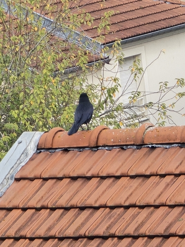
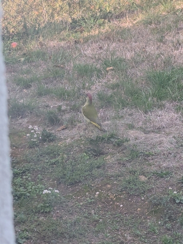
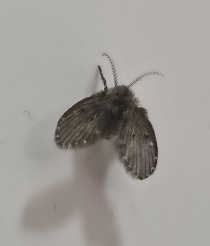
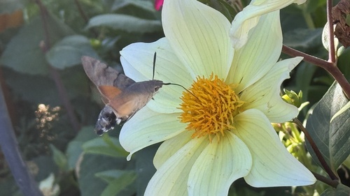
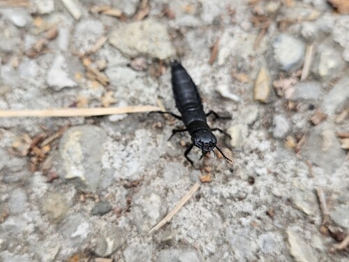
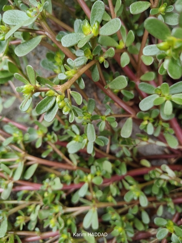
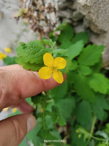
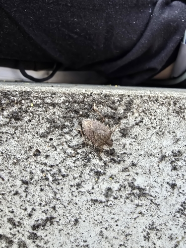
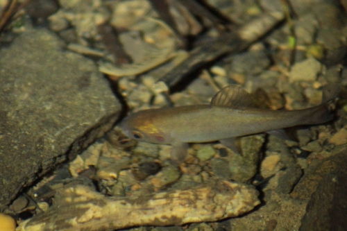
Research-grade observations from iNaturalist (within ~15 mi).
Events
Gallery
Official Identifiers
INSEE — French National Institute of Statistics
- INSEE code
- 54089
- Department
- 54
- Region
- 44
- Population (Wikidata)
- 1,415
geo.api.gouv.fr
Sources
- • Wikipedia
- • Wikidata
- • USGS Earthquake Catalog (global feed)
- • GBIF (Global Biodiversity Information Facility)
- • iNaturalist
- • Open-Meteo / sunrise-sunset.org
- • Wikipedia Pageviews API
- • INSEE — French national statistics, via geo.api.gouv.fr (official commune code, population, surface, department, region)
- • INSEE — French National Institute of Statistics — geo.api.gouv.fr