Browse / France / Nouvelle-Aquitaine / Bruges
Bruges
Nouvelle-Aquitainetown

Bruges
Total population
20,215
Air quality index
Demographic figures from INSEE. Overview below cites Wikipedia and may reference a different year.
City facts
Sister cities
Facts from Wikidata (CC0).
Overview
Bruges is the capital and largest city of the province of West Flanders, in the Flemish Region of Belgium. It is located in the northwest of the country, and is the sixth most populous city in Belgium. The predominant language is Dutch.
Read more on WikipediaHistory & geography
History
Bruges was a location of coastal settlement during prehistory. This Bronze Age and Iron Age settlement are unrelated to medieval city development. In the Bruges area, the first fortifications were built after Julius Caesar's conquest of the Menapii in the first century BC, to protect the coastal area against pirates. The Franks took over the whole region from the Gallo-Romans around the fourth century and administered it as the Pagus Flandrensis. The Viking incursions of the ninth century prompted Count Baldwin I of Flanders to reinforce the Roman fortifications. Bruges gained some fame as destination for pilgrimage, when the relics of Saint Donatian of Reims were brought to the town and venerated in the St. Donatian's church. Saint Donatian became the patron saint of Bruges. In 1089, Bruges became the capital of the County of Flanders. Bruges received its city charter on 27 July 1128, and new walls and canals were built. By the 12th century, the city had gained an autonomous administration. Het Zwin (Golden Inlet), the tidal inlet of Bruges, was crucial to the development of local commerce. Since about 1050, gradual silting had caused the city to lose its direct access to the sea. A storm in 1134, however, re-established this access, through the creation of a natural channel at the Zwin. The new sea arm stretched to Damme, The city eagerly welcomed foreign traders, most notably the Portuguese traders selling pepper and other spices. With the reawakening of town life in the 12th century, a wool market, a woolens weaving industry, and the cloth market all profited from the shelter of city walls, where surpluses could be safely accumulated under the patronage of the counts of Flanders. The city's entrepreneurs reached out to make economic colonies of England and…
Geography
The municipality comprises the following sub-municipalities: * The historic city centre of Bruges, Sint-Jozef and Sint-Pieters (I) * Koolkerke (II) * Sint-Andries (III) * Sint-Michiels (IV) * Assebroek (V) * Sint-Kruis (VI) * Dudzele (VII) * Lissewege (with Zeebrugge and Zwankendamme) (VIII) Bruges has an oceanic climate (Köppen: Cfb).
Excerpted from the corresponding Wikipedia article (CC BY-SA).
Geography
Coordinates & boundaries from the US Census TIGER/Line shapefiles.
Climate
10-year averages from ERA5 reanalysis (Open-Meteo).
Air quality
Current readings from Open-Meteo Air Quality API (Copernicus CAMS European reanalysis).
Walkability
Amenities nearby
Wildlife & biodiversity
Most-observed species
- Eurasian BlackbirdTurdus merula Linnaeus, 1758 · Aves3,952
- European RobinErithacus rubecula (Linnaeus, 1758) · Aves3,566
- Great TitParus major Linnaeus, 1758 · Aves3,415
- House SparrowPasser domesticus (Linnaeus, 1758) · Aves3,364
- European StarlingSturnus vulgaris Linnaeus, 1758 · Aves2,810
- Eurasian MagpiePica pica (Linnaeus, 1758) · Aves2,595
- Eurasian Blue TitCyanistes caeruleus (Linnaeus, 1758) · Aves2,472
- Eurasian Collared-DoveStreptopelia decaocto (Frivaldszky, 1838) · Aves2,441
Citizen-science & research observations from the Global Biodiversity Information Facility (GBIF).
Earthquake history
Most recent
- M 3.2 — 2019-04-067 km ENE of Chevanceaux, France
- M 4.5 — 2019-03-205 km NNE of Montendre, France
- M 2.6 — 2006-09-306 km ENE of Barbezieux-Saint-Hilaire, France
- M 2.8 — 2006-07-090 km NNW of Médis, France
- M 2.5 — 2005-03-185 km ESE of Fontcouverte, France
- M 3 — 2004-08-0519 km W of Biscarrosse, France
Events from the USGS Earthquake Catalog (global) (FDSN Event Web Service).
Photos
Sights & places nearby
Notable people from here


People born within ~10 km, from Wikidata (CC0). Click any name for their Wikipedia article.
Geography & sun
Nearby airports
Public attention
Books about this place
Recent natural events nearby
Ground air-quality sensors
Recently spotted species
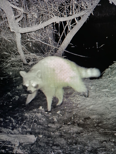
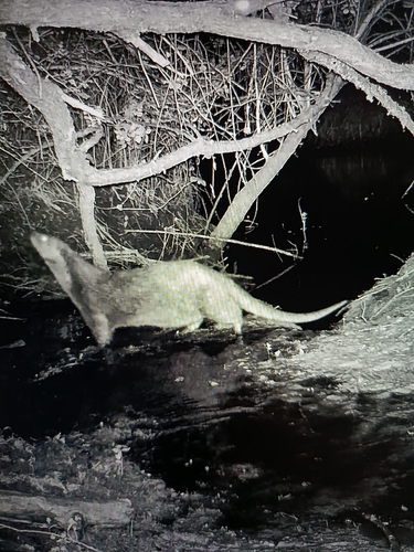
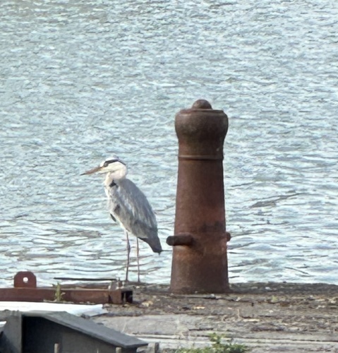
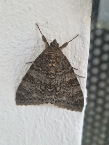
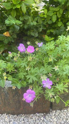
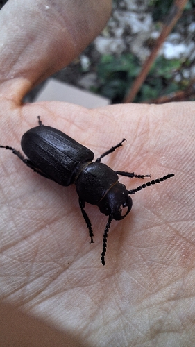
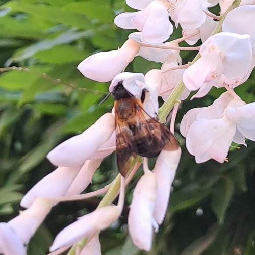
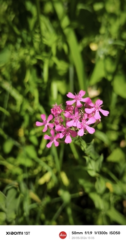
Research-grade observations from iNaturalist (within ~15 mi).
Events
Gallery
Official Identifiers
INSEE — French National Institute of Statistics
- INSEE code
- 33075
- Department
- 33
- Region
- 75
- Population (Wikidata)
- 20,020
geo.api.gouv.fr
Sources
- • Wikipedia
- • Open-Meteo (ERA5 reanalysis)
- • Wikidata
- • Open-Meteo Air Quality (CAMS)
- • USGS Earthquake Catalog (global feed)
- • GBIF (Global Biodiversity Information Facility)
- • iNaturalist
- • Wikidata SPARQL (CC0) — population, area, elevation, inception, head of government, Commons image
- • INSEE — French national statistics, via geo.api.gouv.fr (official commune code, population, surface, department, region)
- • INSEE — French National Institute of Statistics — geo.api.gouv.fr