Browse / France / Provence-Alpes-Côte d'Azur / Cabasse
Cabasse
Provence-Alpes-Côte d'Azurvillage
Total population
1,951
Demographic figures from INSEE. Overview below cites Wikipedia and may reference a different year.
City facts
Overview
Found in Provence-Alpes-Côte d'Azur, France, Cabasse is classified as a village in public datasets. Its coordinates of 43.426°, 6.222° place it in the temperate zone of the northern hemisphere. Public datasets list a population of roughly 1,951. It is grouped under the 93 province in national statistics. Its latitude implies a climate characterised by four distinct seasons with warm summers and cold winters. Solar-resource estimates put the area at about 1,573 kWh/m² of solar irradiance per year with sunshine for roughly 62% of daylight hours. Open-data panels below dive into population trends, climate normals, environmental indicators and nearby places.
Summary composed automatically from structured open data on this page. See our Terms for details.
History & geography
Geography
Coordinates & boundaries from the US Census TIGER/Line shapefiles.
Climate
Air quality
Walkability
Amenities nearby
Wildlife & biodiversity
Most-observed species
- European RobinErithacus rubecula (Linnaeus, 1758) · Aves1,504
- Great TitParus major Linnaeus, 1758 · Aves1,362
- Common ChaffinchFringilla coelebs Linnaeus, 1758 · Aves1,358
- Eurasian BlackcapSylvia atricapilla (Linnaeus, 1758) · Aves1,149
- Eurasian Blue TitCyanistes caeruleus (Linnaeus, 1758) · Aves1,097
- Hermann's tortoiseTestudo hermanni Gmelin, 1789 · Testudines917
- Eurasian Collared-DoveStreptopelia decaocto (Frivaldszky, 1838) · Aves893
- Eurasian MagpiePica pica (Linnaeus, 1758) · Aves883
Citizen-science & research observations from the Global Biodiversity Information Facility (GBIF).
Earthquake history
Most recent
- M 2.5 — 2025-03-201 km WSW of Cantaron, France
- M 3.1 — 2025-03-181 km ESE of Tourrette-Levens, France
- M 2.5 — 2008-12-234 km ENE of Éguilles, France
- M 2.5 — 2008-07-238 km N of Fayence, France
- M 2.7 — 2008-05-216 km SSW of Carqueiranne, France
- M 2.7 — 2008-03-0428 km S of Le Lavandou, France
Events from the USGS Earthquake Catalog (global) (FDSN Event Web Service).
Photos
Sights & places nearby
Notable people from here


People born within ~10 km, from Wikidata (CC0). Click any name for their Wikipedia article.
Nearby places in Provence-Alpes-Côte d'Azur
- Le Village du Lac2 mi away
- Hameau de Vignaubière5.8 mi away
- Entrecasteaux6.2 mi away · pop. 1,127
- Saint-Antonin-du-Var6.5 mi away · pop. 745
- Le Val7.5 mi away · pop. 4,270
- Entraygues8.2 mi away
- Lorgues8.3 mi away · pop. 9,542
- Villecroze-les-Grottes11.1 mi away · pop. 1,494
- Fox-Amphoux12.6 mi away · pop. 486
- Le Colombier12.9 mi away
- Amphoux13 mi away
- La Clape13.8 mi away
Geography & sun
Elevation, sunrise/sunset and daylight from Open-Meteo. Solar climatology from NASA POWER.
Nearby airports
Public attention
Pageview totals from the Wikimedia Pageviews API.
Books about this place
Recent natural events nearby
Ground air-quality sensors
Recently spotted species
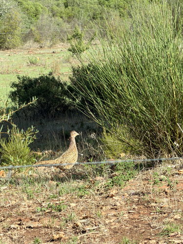
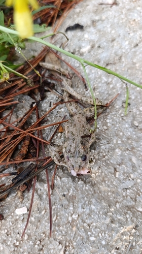
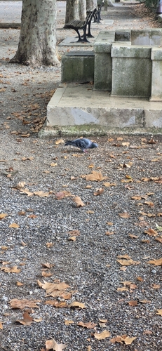
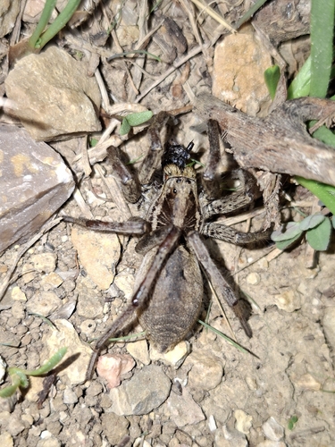
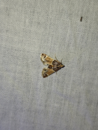
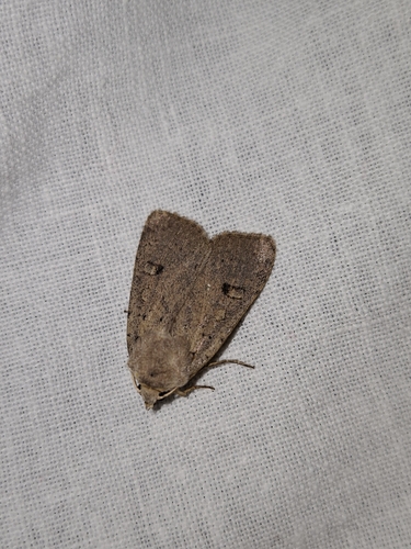
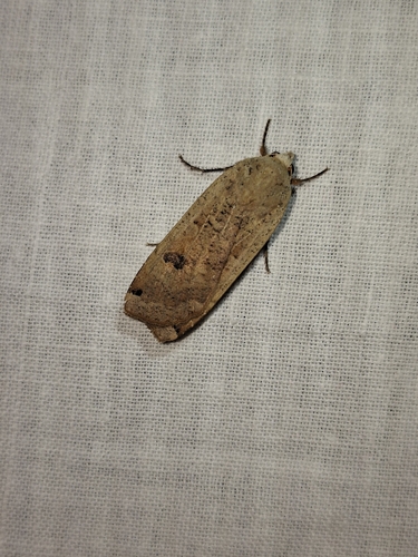
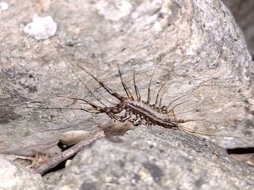
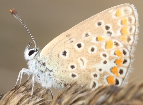
Research-grade observations from iNaturalist (within ~15 mi).
Events
Gallery
Official Identifiers
INSEE — French National Institute of Statistics
- INSEE code
- 83026
- Department
- 83
- Region
- 93
- Population (Wikidata)
- 2,020
geo.api.gouv.fr
Sources
- • Wikidata
- • USGS Earthquake Catalog (global feed)
- • GBIF (Global Biodiversity Information Facility)
- • iNaturalist
- • Open-Meteo / sunrise-sunset.org
- • Wikipedia Pageviews API
- • INSEE — French national statistics, via geo.api.gouv.fr (official commune code, population, surface, department, region)
- • INSEE — French National Institute of Statistics — geo.api.gouv.fr