Browse / France / Provence-Alpes-Côte d'Azur / Cadenet
Cadenet
Provence-Alpes-Côte d'Azurvillage

Cadenet
Total population
4,292
Demographic figures from INSEE. Overview below cites Wikipedia and may reference a different year.
City facts
Sister cities
Facts from Wikidata (CC0).
Overview
Cadenet is a commune in the Vaucluse department in the Provence-Alpes-Côte d'Azur region in southeastern France.
Read more on WikipediaHistory & geography
History
Like all places situated along the river Durance, Cadenet had a Jewish community in the Middle Ages. A document of the year 1283 states that this community, together with those of Aix-en-Provence, Saint-Maximin, Lambesc, Pertuis, Istres, Trets, and Lanson, was permitted to have a synagogue and a cemetery on paying an annual tax of two pounds of pepper to the archbishop of Aix. In 1385 a remarkable lawsuit arose in Arles, relating to an alleged marriage. The plaintiff was Maestro Duran of Cadenet. In order to be revenged on Meirona, daughter of En Salves Cassin of Arles, who had refused him, Duran declared that he had married her in the presence of two witnesses, Vidal Abraham of Bourrin and Bonfilh or Bonfils Crégud. These witnesses were later convicted of perjury. The case was taken in turn before the rabbinical colleges of Arles, Nîmes, Montpellier, and Perpignan, and in the last instance, upon the demand of Don Salemias Nasi of Valence, was submitted to R. Isaac ben Sheshet, who pronounced severe judgment against Duran and his fellow-conspirators, and bitterly reproached the community of Arles that it had not done its utmost to prevent such a scandal from becoming public. A Jew, Mosson of Cadenet by name, lived at Carpentras in 1404; and two others, Salvet of Cadenet and Vidalon of Cadenet, were sheriffs of that community in 1460.
Geography
Cadenet is a village located on the southern slopes of the Luberon Massif, overlooking the valley of the Durance. It is 57 km southeast of Avignon, 59 km north of Marseille and 616 km as the crow flies from Paris. It is accessed from Lourmarin to the north by county (départemental) main road 943. Secondary county road 973 crosses the south of the village on an east–west axis and allows it to connect to Lauris to the west, and runs east to Villelaure and Pertuis. County roads 43, 59, 118 and 139 also pass through the town. A railway runs through the town on an east–west axis across the plains at the south end of the village. This is the line of the Cheval-Blanc in Pertuis. The village is situated on a hill overlooking the valley of the Durance, on the southern Luberon Massif, in mountainous terrain formed during the Early Cretaceous period. Several other hills lie to the east, including Castellar. The alluvial plains of the Durance lie to the south. The town lies on the perimeter of the Luberon Geological Nature Reserve because of the proximity to exceptional fossil sites.
Excerpted from the corresponding Wikipedia article (CC BY-SA).
Geography
Coordinates & boundaries from the US Census TIGER/Line shapefiles.
Climate
Air quality
Walkability
Amenities nearby
Wildlife & biodiversity
Most-observed species
- Great TitParus major Linnaeus, 1758 · Aves865
- Blue AphyllanthesAphyllanthes monspeliensis L. · Liliopsida774
- Eurasian MagpiePica pica (Linnaeus, 1758) · Aves702
- European RobinErithacus rubecula (Linnaeus, 1758) · Aves680
- Eurasian Blue TitCyanistes caeruleus (Linnaeus, 1758) · Aves677
- giant orchidHimantoglossum robertianum (Loisel.) P.Delforge · Liliopsida676
- Eurasian Collared-DoveStreptopelia decaocto (Frivaldszky, 1838) · Aves655
- Common ChaffinchFringilla coelebs Linnaeus, 1758 · Aves640
Citizen-science & research observations from the Global Biodiversity Information Facility (GBIF).
Earthquake history
Most recent
- M 4.3 — 2011-08-034 km ESE of Barjac, France
- M 2.5 — 2008-12-234 km ENE of Éguilles, France
- M 2.8 — 2008-11-252 km N of Malataverne, France
- M 2.7 — 2008-05-216 km SSW of Carqueiranne, France
- M 2.6 — 2007-08-031 km NE of Jonquières-Saint-Vincent, France
- M 2.6 — 2007-05-239 km SSW of Carqueiranne, France
Events from the USGS Earthquake Catalog (global) (FDSN Event Web Service).
Photos
Sights & places nearby
Notable people from here


People born within ~10 km, from Wikidata (CC0). Click any name for their Wikipedia article.
Geography & sun
Elevation, sunrise/sunset and daylight from Open-Meteo. Solar climatology from NASA POWER.
Nearby airports
Public attention
Pageview totals from the Wikimedia Pageviews API.
Books about this place
Recent natural events nearby
Ground air-quality sensors
Recently spotted species

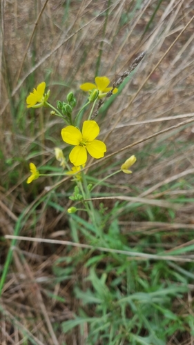
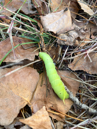
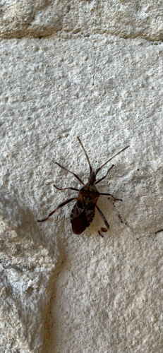
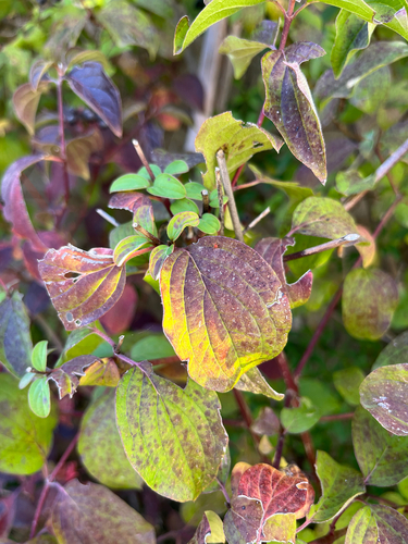
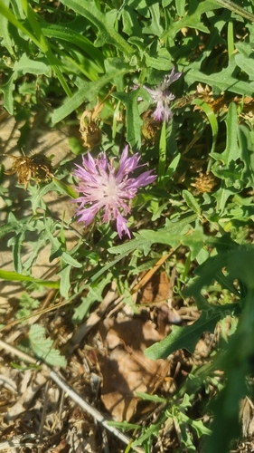
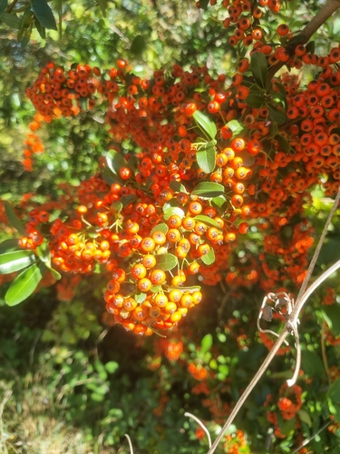
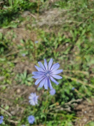
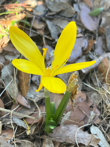
Research-grade observations from iNaturalist (within ~15 mi).
Events
Gallery
Official Identifiers
INSEE — French National Institute of Statistics
- INSEE code
- 84026
- Department
- 84
- Region
- 93
- Population (Wikidata)
- 4,363
geo.api.gouv.fr
Sources
- • Wikipedia
- • Wikidata
- • USGS Earthquake Catalog (global feed)
- • GBIF (Global Biodiversity Information Facility)
- • iNaturalist
- • Open-Meteo / sunrise-sunset.org
- • Wikipedia Pageviews API
- • INSEE — French national statistics, via geo.api.gouv.fr (official commune code, population, surface, department, region)
- • INSEE — French National Institute of Statistics — geo.api.gouv.fr