Browse / France / Normandie / Caen
Caen
Normandiecity

Caen
Total population
108,200
Demographic figures from INSEE. Overview below cites Wikipedia and may reference a different year.
City facts
Sister cities
Facts from Wikidata (CC0).
Overview
Caen is a city and commune 15 km (9.3 mi) inland from the northwestern coast of France. It is the prefecture of the department of Calvados. The city proper has 105,512 inhabitants, while its functional urban area has 470,000, making Caen the second largest urban area in Normandy and the 19th largest in France. It is also the third largest commune in all of Normandy after Le Havre and Rouen.
Read more on WikipediaHistory & geography
History
Caen was known in Roman times as 'Catumagos', from the Gaulish roots magos meaning 'field' and catu meaning 'combat'. It remained a minor settlement throughout the Roman period. In 912 Caen became the western capital of the Duchy of Normandy and due to the patronage of the Dukes of Normandy saw a major development of commence throughout the 10th century. Around 1060, William the Conqueror began construction of the Château de Caen, which became the centre of the ducal court. Duchess Matilda of Flanders also founded the Benedictine Abbey of Sainte-Trinité, Caen around the same time, eventually being buried in the abbey. Caen succeeded Bayeux as the capital of Lower Normandy, complementing the second ducal capital of Rouen. Caen fell to Philip II of France on 21 May 1204, and was incorporated along with the remainder of Normandy into the Kingdom of France. In 1346, King Edward III of England led his army against the city, hoping to loot it. It was expected that a siege of perhaps several weeks would be required, but the army took the city in less than a day, on 26 July 1346, storming and sacking it, killing 3,000 of its citizens, and burning much of the merchants' quarter on the Île St-Jean. Only the castle of Caen held out, despite attempts to besiege it. A few days later, the English left, marching to the east and on to their victory at the Battle of Crécy. It was later captured following a siege by Henry V in 1417 and treated harshly for being the first town to put up any resistance to his invasion. In 1450 towards the end of the war, French forces recaptured Caen. During World War II, Caen was captured by German forces during the Battle of France in 1940 and placed under military occupation. In 1944, Allied forces launched Operation Overlord, invading…
Geography
Caen is in an area of high humidity. The river Orne flows through the city, as well as small rivers known as les Odons, most of which have been buried under the city to improve urban hygiene. Caen has a large flood zone, named "La prairie", located around the hippodrome, not far from the river Orne, which is regularly submerged. Caen is from the Channel. A canal (Canal de Caen à la Mer) parallel to the Orne was built during the reign of Napoleon III to link the city to the sea at all times. The canal reaches the English Channel at Ouistreham. A lock keeps the tide out of the canal and lets large ships navigate up the canal to Caen's freshwater harbours. Caen has an oceanic climate that is somewhat ameliorated due to its slightly inland position. In spite of this, summers are still cool by French standards and the climate is typically maritime in terms of high precipitation, relatively modest sunshine hours and mild winters.
Excerpted from the corresponding Wikipedia article (CC BY-SA).
Geography
Coordinates & boundaries from the US Census TIGER/Line shapefiles.
Climate
10-year averages from ERA5 reanalysis (Open-Meteo).
Air quality
Walkability
Amenities nearby
Wildlife & biodiversity
Most-observed species
- Eurasian BlackbirdTurdus merula Linnaeus, 1758 · Aves1,631
- Common ChaffinchFringilla coelebs Linnaeus, 1758 · Aves1,548
- European RobinErithacus rubecula (Linnaeus, 1758) · Aves1,344
- Great TitParus major Linnaeus, 1758 · Aves1,325
- Common Wood-PigeonColumba palumbus Linnaeus, 1758 · Aves1,311
- House SparrowPasser domesticus (Linnaeus, 1758) · Aves1,247
- Eurasian Blue TitCyanistes caeruleus (Linnaeus, 1758) · Aves1,176
- Eurasian Collared-DoveStreptopelia decaocto (Frivaldszky, 1838) · Aves1,014
Citizen-science & research observations from the Global Biodiversity Information Facility (GBIF).
Earthquake history
Most recent
- M 2.8 — 2007-11-067 km SSW of Chanu, France
- M 3.5 — 2007-08-012 km SSE of Blonville-sur-Mer, France
- M 2.6 — 2007-07-2415 km W of Étretat, France
- M 3.3 — 2006-11-1020 km N of Saint-Aubin-sur-Mer, France
- M 3.2 — 2006-08-120 km SW of Merville-Franceville-Plage, France
- M 2.7 — 2006-05-116 km SSE of Fougerolles-du-Plessis, France
Events from the USGS Earthquake Catalog (global) (FDSN Event Web Service).
Photos
Sights & places nearby
Notable people from here


People born within ~10 km, from Wikidata (CC0). Click any name for their Wikipedia article.
Nearby places in Normandie
- Cormelles-le-Royal2.3 mi away · pop. 5,170
- Bretteville-sur-Odon2.7 mi away · pop. 4,148
- Colombelles3.4 mi away · pop. 7,022
- Verson4.3 mi away · pop. 3,794
- Biéville-Beuville4.3 mi away · pop. 3,738
- Soliers4.4 mi away · pop. 2,135
- Bourguébus5.1 mi away · pop. 2,433
- Marcelet5.4 mi away
- Périers-sur-le-Dan5.5 mi away · pop. 574
- Lasson5.8 mi away · pop. 601
- Bénouville5.9 mi away · pop. 2,016
- Frénouville6 mi away · pop. 1,995
Geography & sun
Elevation, sunrise/sunset and daylight from Open-Meteo. Solar climatology from NASA POWER.
Nearby airports
Public attention
Pageview totals from the Wikimedia Pageviews API.
Books about Caen




Search results from Open Library.
Recent natural events nearby
Ground air-quality sensors
Recently spotted species
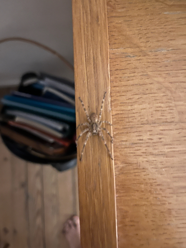
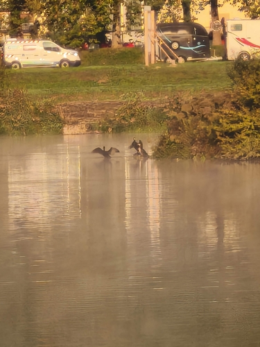
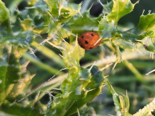
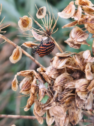
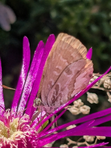
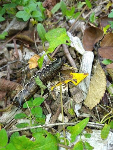
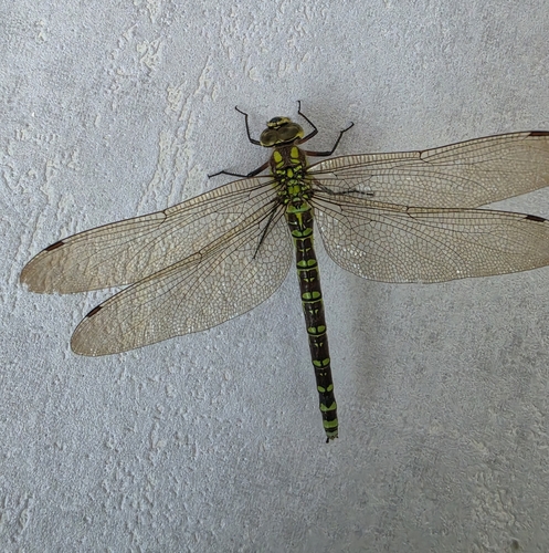
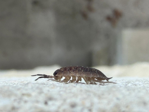
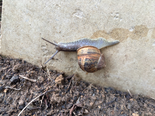
Research-grade observations from iNaturalist (within ~15 mi).
Events
Notable, recurring, and historical events associated with Caen, sourced from Wikidata.
- Tribute to Paul Varry in CaenOct 19, 2024demonstration
gathering on 19 October 2024 in front of the city hall of Caen in tribute to cyclist Paul Varry
- Q2911405festival
Source: Wikidata (CC0).
Gallery
Geotagged photos within ~6 miles of Caen, from Wikimedia Commons contributors.


.jpg)
.jpg)
.jpg)
.jpg)
.jpg)
.jpg)
.jpg)
Photos via Wikimedia Commons — see each image page for license & attribution.
Official Identifiers
INSEE — French National Institute of Statistics
- INSEE code
- 14118
- Department
- 14
- Region
- 28
- Population (Wikidata)
- 109,400
geo.api.gouv.fr
Sources
- • Wikipedia
- • Open-Meteo (ERA5 reanalysis)
- • Wikimedia Commons
- • Wikidata
- • USGS Earthquake Catalog (global feed)
- • GBIF (Global Biodiversity Information Facility)
- • iNaturalist
- • Open-Meteo / sunrise-sunset.org
- • Wikipedia Pageviews API
- • Open Library
- • Wikidata SPARQL (CC0) — population, area, elevation, inception, head of government, Commons image
- • INSEE — French national statistics, via geo.api.gouv.fr (official commune code, population, surface, department, region)
- • INSEE — French National Institute of Statistics — geo.api.gouv.fr