Browse / France / Hauts-de-France / Cambrai
Cambrai
Hauts-de-Francecity

Cambrai
Total population
31,425
Air quality index
Demographic figures from INSEE. Overview below cites Wikipedia and may reference a different year.
City facts
Sister cities
Facts from Wikidata (CC0).
Overview
Cambrai, formerly Cambray and historically in English Camerick or Camericke, is a city in the Nord department and in the Hauts-de-France region of France on the Scheldt river, which is known locally as the Escaut river.
Read more on WikipediaHistory & geography
History
Little is known with certainty of the beginnings of Cambrai. Camaracum or Camaraco, as it was known to the Romans, is mentioned for the first time on the Peutinger table in the middle of the 4th century. It became the main town of the Roman province of the Nervii, whose first Roman capital had been at Bagacum, present-day Bavay. In the middle of the 4th-century, Frankish raids from the north threatened Bavay and led the Romans to build forts along the Cologne to Bavay to Cambrai road, and thence to Boulogne. Cambrai thus occupied an important strategic position. In 430, the Salian Franks under the command of Clodio the Long-Haired took the town. In 509, Clovis undertook to unify the Frankish kingdoms by getting rid of his relatives. Cambrai began to grow from a rural market into a real city during the Merovingian times, a long period of peace when the bishoprics of Arras and Cambrai were first unified, probably owing to the small number of clerics left at the time, and were later transferred to Cambrai, an administrative centre for the region. Successive bishops, including Gaugericus (in French Géry), founded abbeys and churches to host relics, which contributed powerfully to giving Cambrai both the appearance and functions of a city. When the Treaty of Verdun in 843 split Charlemagne's empire into three parts, the county of Cambrai fell into Lothaire's kingdom. Upon the death of Lothair II, who had no heir, king Charles the Bald tried to gain control of his kingdom by having himself consecrated at Metz. Cambrai thus reverted, but only briefly, to the Western Frankish Realm. In 870 the town was destroyed by the Normans. In the Middle Ages the region around Cambrai, called Cambrésis, was a county. Rivalries between the count, who ruled the city and county, and the…
Geography
The town of Cambrai is in the southern part of the Nord Department, of which it is chef-lieu of the arrondissement. It belongs to the dense network of the cities of the area which are separated by a few tens of kilometres: Douai is away, Valenciennes is , Arras is and Saint-Quentin , all measured as the crow flies. The regional capital, Lille, is from Cambrai. Cambrai is not very far from several European capitals: Brussels is away, Paris is and London is . Cambrai was born and developed on the right bank of the Scheldt river, locally known as the Escaut. The river has its source in the department of Aisne, just a little over away. Cambrai is located on chalk bedrock of the Cretaceous period, which forms the northern boundary of the Paris Basin, between, to the east, the hills for Thiérache and Avesnois, the foothills of the , and northwest, the hills of Artois. It is at a point which is relatively lower than these two regions, called the "Cambrai threshold" or the "Bapaume threshold", which facilitates the passage between the south and the north. Bapaume (Artois) is above sea level, Avesnes-sur-Helpe (Avesnois) is at and Cambrai only . The Saint-Quentin canal, the Canal du Nord, the A1, A2 and A26 autoroutes all borrow all this passage between the basin of the Seine and the plains of the Nord department. The chalky subsoil allowed the digging of a network of cellars, tunnels and quarries under the city. The poor quality of the Cambrai chalk was reserved for use in the manufacture of lime or filling, and common constructions. For prestigious buildings, stone from the nearby villages of Noyelles-sur-Escaut, Rumilly or Marcoing was used. Cambrai is bordered in its western part, and to the north and the south, by the alluvial zones of the Scheldt Valley.…
Excerpted from the corresponding Wikipedia article (CC BY-SA).
Geography
Coordinates & boundaries from the US Census TIGER/Line shapefiles.
Climate
Air quality
Current readings from Open-Meteo Air Quality API (Copernicus CAMS European reanalysis).
Walkability
Amenities nearby
Wildlife & biodiversity
Most-observed species
- Common PipistrellePipistrellus pipistrellus (Schreber, 1774) · Mammalia31,142
- Nathusius's BatPipistrellus nathusii (Keyserling & Blasius, 1839) · Mammalia3,220
- Serotine BatEptesicus serotinus (Schreber, 1774) · Mammalia2,178
- Lesser noctuleNyctalus leisleri (Kuhl, 1817) · Mammalia864
- Eurasian BlackbirdTurdus merula Linnaeus, 1758 · Aves824
- Great TitParus major Linnaeus, 1758 · Aves705
- Common ChaffinchFringilla coelebs Linnaeus, 1758 · Aves604
- Common Wood-PigeonColumba palumbus Linnaeus, 1758 · Aves553
Citizen-science & research observations from the Global Biodiversity Information Facility (GBIF).
Earthquake history
Most recent
- M 3.3 — 2008-09-133 km SSE of Florennes, Belgium
- M 2.6 — 2008-08-081 km SSE of Boussu, Belgium
- M 3.2 — 2008-07-141 km SW of Boussu, Belgium
- M 3.1 — 2005-02-271 km NW of Libercourt, France
- M 2.5 — 2004-10-030 km ESE of Maubray, Belgium
- M 2.5 — 2003-01-311 km N of Tarcienne, Belgium
Events from the USGS Earthquake Catalog (global) (FDSN Event Web Service).
Photos
Sights & places nearby
Notable people from here


People born within ~10 km, from Wikidata (CC0). Click any name for their Wikipedia article.
Nearby places in Hauts-de-France
- Escaudœuvres1.9 mi away · pop. 3,204
- Fontaine-Notre-Dame3.2 mi away · pop. 1,763
- Bantigny3.7 mi away · pop. 507
- Naves4.1 mi away · pop. 626
- Thun-l'Évêque4.3 mi away · pop. 767
- Cattenières5 mi away · pop. 684
- Paillencourt5.3 mi away · pop. 1,015
- Estrun5.7 mi away · pop. 719
- Flesquières6.3 mi away · pop. 263
- Ribécourt-la-Tour6.4 mi away · pop. 376
- Mœuvres7.6 mi away · pop. 489
- Marquette-en-Ostrevant7.8 mi away · pop. 1,931
Geography & sun
Elevation, sunrise/sunset and daylight from Open-Meteo. Solar climatology from NASA POWER.
Nearby airports
Public attention
Pageview totals from the Wikimedia Pageviews API.
Books about Cambrai
Search results from Open Library.
Recent natural events nearby
Ground air-quality sensors
Recently spotted species
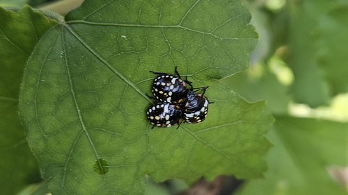
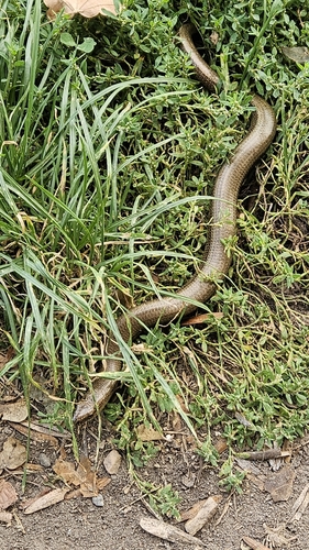
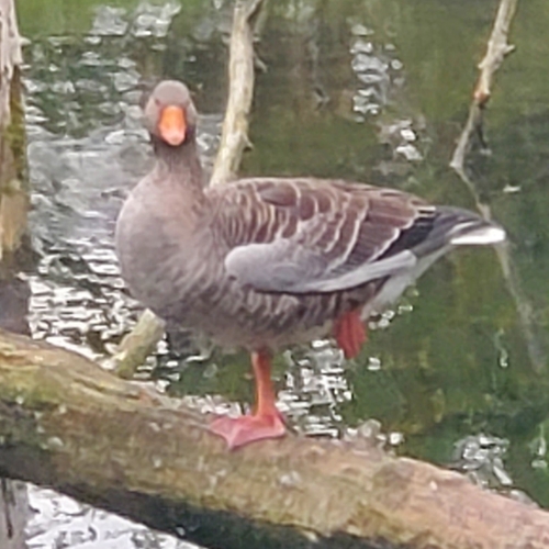
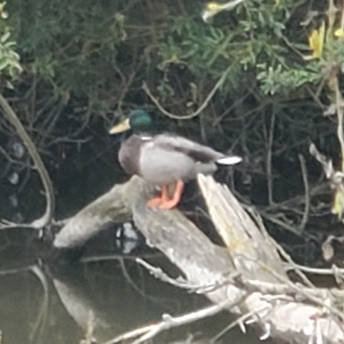
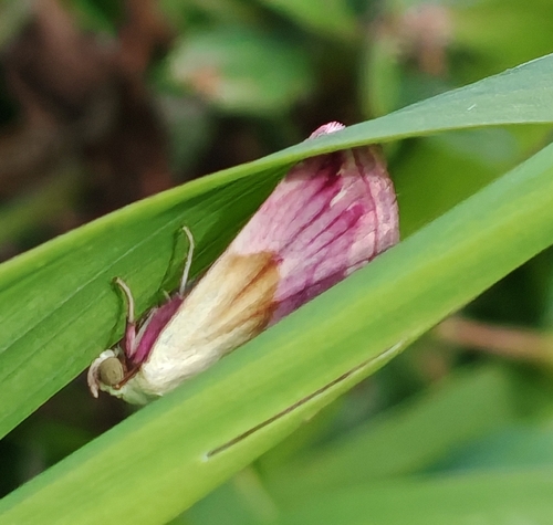
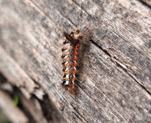
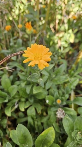
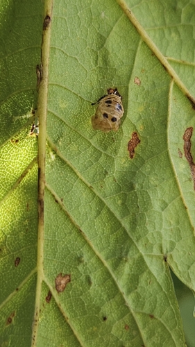
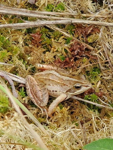
Research-grade observations from iNaturalist (within ~15 mi).
Events
Gallery
Official Identifiers
INSEE — French National Institute of Statistics
- INSEE code
- 59122
- Department
- 59
- Region
- 32
- Population (Wikidata)
- 31,134
geo.api.gouv.fr
Sources
- • Wikipedia
- • Wikidata
- • Open-Meteo Air Quality (CAMS)
- • USGS Earthquake Catalog (global feed)
- • GBIF (Global Biodiversity Information Facility)
- • iNaturalist
- • Open-Meteo / sunrise-sunset.org
- • Wikipedia Pageviews API
- • Open Library
- • Wikidata SPARQL (CC0) — population, area, elevation, inception, head of government, Commons image
- • INSEE — French national statistics, via geo.api.gouv.fr (official commune code, population, surface, department, region)
- • INSEE — French National Institute of Statistics — geo.api.gouv.fr