Browse / France / Provence-Alpes-Côte d'Azur / Cassis
Cassis
Provence-Alpes-Côte d'Azurvillage

Cassis
Total population
6,720
Air quality index
Demographic figures from INSEE. Overview below cites Wikipedia and may reference a different year.
City facts
Sister cities
Facts from Wikidata (CC0).
Overview
Cassis is a commune situated east of Marseille in the department of Bouches-du-Rhône in the Provence-Alpes-Côte d'Azur region, whose coastline is known in English as the French Riviera, in Southern France.
Read more on WikipediaHistory & geography
History
The present site of Cassis was first occupied between 600 and 500 BC by the Ligures, who constructed a fortified dwelling at the top of the Baou Redon. These people lived by fishing, hunting, and farming. The current site of Cassis could have been inhabited by the Greeks, though no proof has yet been found. During Roman times, Cassis was part of the maritime route made by the Emperor Antoninus Pius. It was a small village, established mainly around the Arena and Corton beaches. The principal livelihood was fishing and maritime trade with North Africa and the Middle East. Several archaeological discoveries attest to this. From the 5th to the 10th centuries AD, invasions by foreign tribes led the population to seek refuge in the castrum, a fortified city that, in 1223, became the property of the Seigneurie des Les Baux-de-Provence. In the 15th century, Cassis was ceded to the Counts of Provence; then René of Anjou gave the town to the Bishops of Marseille, who ruled the town until the Revolution of 1789.
Geography
The town is situated on the Mediterranean coast, about east of Marseille. Cap Canaille, , between Cassis and La Ciotat ("the civitas") is one of the highest maritime bluffs in Europe, a sailor's landmark for millennia. It is east of Marseille and in the department of Bouches-du-Rhône. One of its main beaches, called "Bestouan", is made cooler by a karstic source.
Excerpted from the corresponding Wikipedia article (CC BY-SA).
Geography
Coordinates & boundaries from the US Census TIGER/Line shapefiles.
Climate
Air quality
Current readings from Open-Meteo Air Quality API (Copernicus CAMS European reanalysis).
Walkability
Amenities nearby
Wildlife & biodiversity
Most-observed species
- Grey-leaved CistusCistus albidus L. · Magnoliopsida2,267
- Mastic TreePistacia lentiscus L. · Magnoliopsida1,749
- Yellow-legged GullLarus michahellis J.F.Naumann, 1840 · Aves1,719
- Japanese CheesewoodPittosporum tobira (Murray) Aiton fil. · Magnoliopsida1,643
- Tree MedickMedicago arborea L. · Magnoliopsida1,627
- Eurasian Collared-DoveStreptopelia decaocto (Frivaldszky, 1838) · Aves1,461
- Blue AphyllanthesAphyllanthes monspeliensis L. · Liliopsida1,376
- Eurasian MagpiePica pica (Linnaeus, 1758) · Aves1,339
Citizen-science & research observations from the Global Biodiversity Information Facility (GBIF).
Earthquake history
Most recent
- M 2.5 — 2008-12-234 km ENE of Éguilles, France
- M 2.7 — 2008-10-0275 km SSW of Six-Fours-les-Plages, France
- M 2.5 — 2008-07-1977 km SSW of Six-Fours-les-Plages, France
- M 2.7 — 2008-05-216 km SSW of Carqueiranne, France
- M 2.6 — 2008-04-1564 km SSW of Port-Saint-Louis-du-Rhône, France
- M 2.7 — 2008-03-0428 km S of Le Lavandou, France
Events from the USGS Earthquake Catalog (global) (FDSN Event Web Service).
Photos
Sights & places nearby
Notable people from here


People born within ~10 km, from Wikidata (CC0). Click any name for their Wikipedia article.
Geography & sun
Nearby airports
Public attention
Books about this place
Recent natural events nearby
Ground air-quality sensors
Recently spotted species
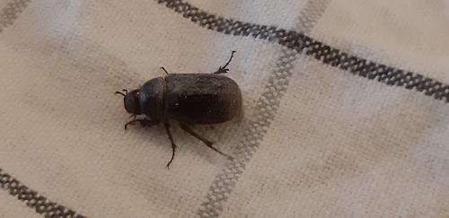
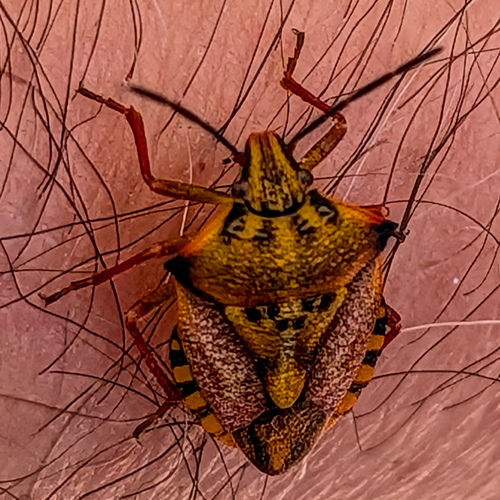
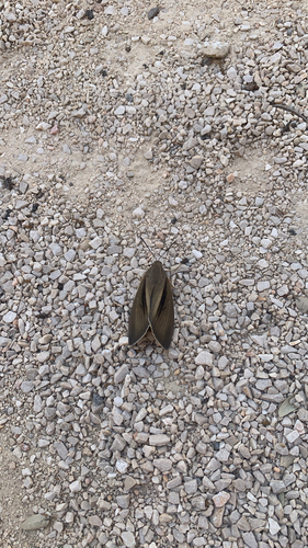
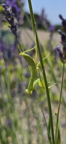
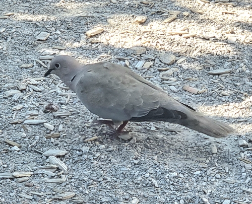
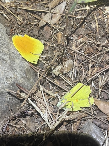
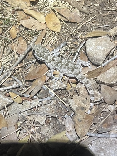
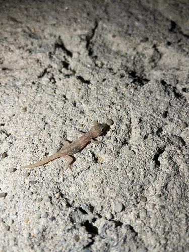
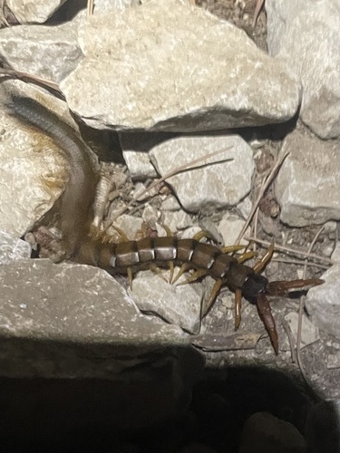
Research-grade observations from iNaturalist (within ~15 mi).
Events
Gallery
Official Identifiers
INSEE — French National Institute of Statistics
- INSEE code
- 13022
- Department
- 13
- Region
- 93
- Population (Wikidata)
- 6,661
geo.api.gouv.fr
Sources
- • Wikipedia
- • Wikidata
- • Open-Meteo Air Quality (CAMS)
- • USGS Earthquake Catalog (global feed)
- • GBIF (Global Biodiversity Information Facility)
- • iNaturalist
- • INSEE — French national statistics, via geo.api.gouv.fr (official commune code, population, surface, department, region)
- • INSEE — French National Institute of Statistics — geo.api.gouv.fr