Browse / France / Bourgogne-Franche-Comté / Chalon-sur-Saône
Chalon-sur-Saône
Bourgogne-Franche-Comtétown

Chalon-sur-Saône
Total population
45,031
Demographic figures from INSEE. Overview below cites Wikipedia and may reference a different year.
City facts
Facts from Wikidata (CC0).
Overview
Chalon-sur-Saône is a city in the Saône-et-Loire department in the region of Bourgogne-Franche-Comté in eastern France.
Read more on WikipediaHistory & geography
History
Though the site (ancient Cabillonum) was a capital of the Aedui and objects of La Tène culture have been retrieved from the bed of the river here, the first mention of Cavillonum is found in Commentarii de Bello Gallico (VII, chs. 42 and 90). The Roman city already served as a river port and hub of road communications, of the Via Agrippa and side routes. In 354 AD the Roman Emperor Constantius II stationed the Roman 7th Army in Chalon (then called Cabyllona) for an invasion against the brother kings, Gundomadus and Vadomarius of the Alamanni. However, not having received supplies, the Roman troops revolted, and were pacified by the grand chamberlain Eusebius with money. In Late Antiquity the city had dwindled so much that a wall round it encircled fifteen hectares. Marcel de Chalon (Saint Marcel) is said to have been martyred here in 179. Chalon became one of the de facto capitals of the kingdom of Burgundy under Guntram, king from 561 to 592, who died here. Guntram also promoted the cult of Marcel. It continued to pay for its importance by being frequently attacked until the 10th century. After the French Revolution, in accordance with the Concordat of 1801, the diocese of Chalon was amalgamated with the diocese of Autun, which gave the name to the new entity. Chalon in the 19th century is best known as the birthplace of photography. Its most famous resident, Nicéphore Niépce, also has a lycée (secondary school) named after him. There is a museum which contains some early photography relics, located on the Quai des Messageries in the town, containing more than two million photographs and many old artefacts such as cameras and other equipment for old and modern photography. Also on display are Niépce's 1807 Pyréolophore, which is probably the world's first internal…
Geography
Chalon-sur-Saône lies in the south of the Bourgogne-Franche-Comté and in the east of France, approximately north of Mâcon. It is located on the Saône river, and was once a busy port, acting as a distribution point for local wines which were sent up and down the Saône river and the Canal du Centre, opened in 1792.
Excerpted from the corresponding Wikipedia article (CC BY-SA).
Geography
Coordinates & boundaries from the US Census TIGER/Line shapefiles.
Climate
Air quality
Walkability
Amenities nearby
Wildlife & biodiversity
Earthquake history
Photos
Sights & places nearby
Notable people from here


People born within ~10 km, from Wikidata (CC0). Click any name for their Wikipedia article.
Nearby places in Bourgogne-Franche-Comté
- Épervans3.3 mi away · pop. 1,630
- Saint-Ambreuil6.3 mi away · pop. 519
- Saint-Désert7 mi away · pop. 902
- Damerey7.3 mi away · pop. 546
- Saint-Denis-de-Vaux7.4 mi away · pop. 270
- Jambles7.6 mi away · pop. 480
- L'Abergement-Sainte-Colombe7.6 mi away · pop. 1,236
- Saint-Germain-du-Plain8.3 mi away · pop. 2,329
- Aluze9.1 mi away · pop. 246
- Charrecey9.6 mi away · pop. 336
- Chaudenay9.6 mi away · pop. 1,134
- Lalheue9.8 mi away · pop. 356
Geography & sun
Elevation, sunrise/sunset and daylight from Open-Meteo. Solar climatology from NASA POWER.
Nearby airports
Public attention
Pageview totals from the Wikimedia Pageviews API.
Books about this place
Recent natural events nearby
Ground air-quality sensors
Recently spotted species
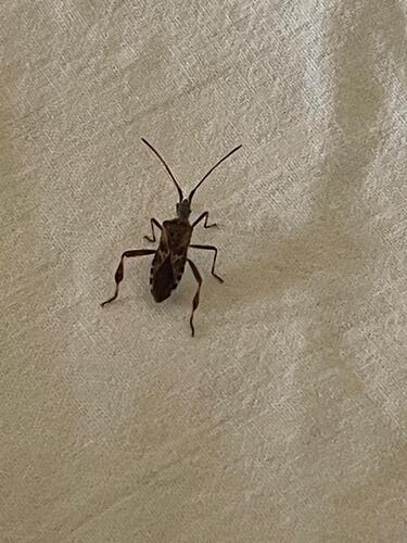

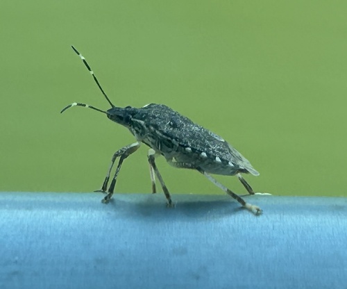
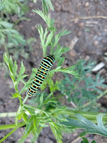
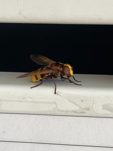
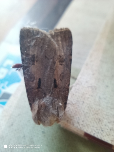
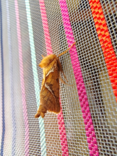
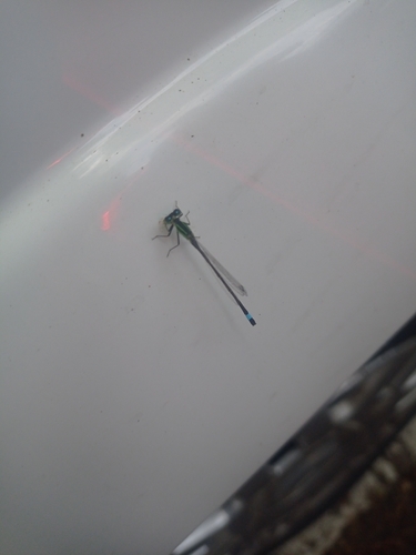
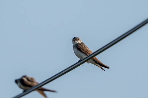
Research-grade observations from iNaturalist (within ~15 mi).
Events
Gallery
Official Identifiers
INSEE — French National Institute of Statistics
- INSEE code
- 71076
- Department
- 71
- Region
- 27
- Population (Wikidata)
- 45,102
geo.api.gouv.fr
Sources
- • Wikipedia
- • Wikidata
- • iNaturalist
- • Open-Meteo / sunrise-sunset.org
- • Wikipedia Pageviews API
- • Wikidata SPARQL (CC0) — population, area, elevation, inception, head of government, Commons image
- • INSEE — French national statistics, via geo.api.gouv.fr (official commune code, population, surface, department, region)
- • INSEE — French National Institute of Statistics — geo.api.gouv.fr