Browse / France / Auvergne-Rhône-Alpes / Champ-sur-Drac
Champ-sur-Drac
Auvergne-Rhône-Alpesvillage

Featured view
Champ-sur-Drac
Total population
3,339
Elevation259 m
Land area8.92 km²
Coordinates45.08°, 5.73°
Demographic figures from INSEE. Overview below cites Wikipedia and may reference a different year.
Loading additional data from public sources…0 / 11
CensusWikipediaWeatherPlacesPeopleEnvironmentHealth & SchoolsRelatedGeography & CultureLive MonitoringEvents & Gallery
0% completeCity facts
Facts from Wikidata (CC0).
Overview
Champ-sur-Drac is a commune in the Isère department in southeastern France. It is situated at the foot of the Alps, at the confluence of the River and the Drac. It is part of the Grenoble urban unit (agglomeration).
Read more on WikipediaHistory & geography
Geography
Latitude
45.0771
Longitude
5.7300
Water area
—
Coordinates & boundaries from the US Census TIGER/Line shapefiles.
Climate
Air quality
Walkability
Amenities nearby
Wildlife & biodiversity
Earthquake history
Photos
Sights & places nearby
Notable people from here
Geography & sun
Nearby airports
Public attention
Books about this place
Recent natural events nearby
Ground air-quality sensors
Recently spotted species
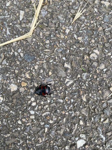
Hister quadrimaculatus
Hister quadrimaculatus
Seen 2026-06-08
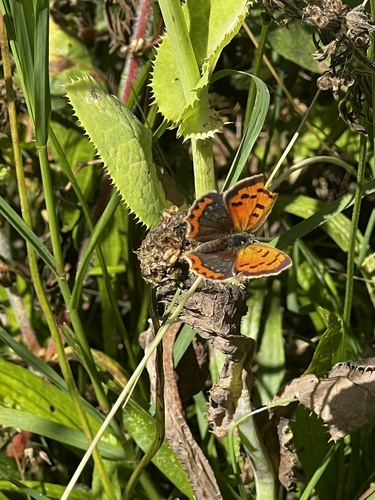
Small Copper
Lycaena phlaeas
Seen 2026-06-08

Common Hedgehog
Erinaceus europaeus
Seen 2026-06-07
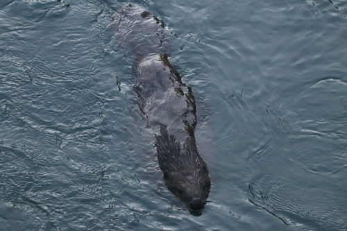
Eurasian Beaver
Castor fiber
Seen 2026-06-07

Cricket-bat Orbweaver
Mangora acalypha
Seen 2026-06-07
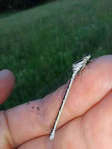
Southern Damselfly
Coenagrion mercuriale
Seen 2026-06-07

Little Bittern
Botaurus minutus
Seen 2026-06-07
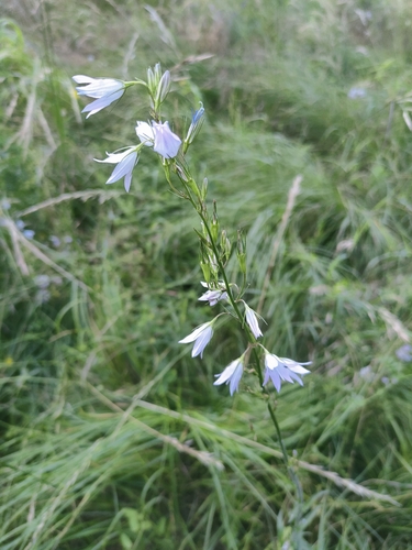
Rampion
Campanula rapunculus
Seen 2026-06-07

Painted Lady
Vanessa cardui
Seen 2026-06-07
Research-grade observations from iNaturalist (within ~15 mi).
Events
Gallery
Official Identifiers
INSEE — French National Institute of Statistics
- INSEE code
- 38071
- Department
- 38
- Region
- 84
- Population (Wikidata)
- 3,335
geo.api.gouv.fr
Sources
- • Wikipedia
- • Wikidata
- • iNaturalist
- • INSEE — French national statistics, via geo.api.gouv.fr (official commune code, population, surface, department, region)
- • INSEE — French National Institute of Statistics — geo.api.gouv.fr