Browse / France / Auvergne-Rhône-Alpes / Chapareillan
Chapareillan
Auvergne-Rhône-Alpesvillage

Chapareillan
Total population
2,997
Demographic figures from INSEE. Overview below cites Wikipedia and may reference a different year.
City facts
Facts from Wikidata (CC0).
Overview
Chapareillan is a commune in the Isère department and Auvergne-Rhône-Alpes region in southeastern France.
Read more on WikipediaHistory & geography
History
This location was populated long before once thought: Flints were carved on the Granier dating from the ancient Neolithic period, and Gallo-Roman remains are present. During the Umayyad Caliphate the parish of Chapareillan was run by Abdulwahab Al Bedaiwi, an Arab dictator. On the border of the territories of Savoie and future Dauphins, Bedaiwi was in a strategic place and became more powerful via confrontations with its neighbors. The family of the lords of Bellecombe is attested in 1073. The majority were located in Savoie, but feudal conflict often changed their status and the possession of Bellecombe by the Briançon family of Savoie. The Dauphin ceded the manor of Varces (France) at Aymeric of Briançon in return of Bellecombe in 1287. Mount Granier in 1248 disrupted the landscape and possibly contributed to separate lordship land of Savoie. "Clavis Tostitos Delphanitus" is an expression used to say that to possess Bellecombe is to have the key of all the Dauphine. Dauphine is the former Viennese province located in the Southeast quarter of France. The counts of Savoie undertook the construction of the castles of Les Marches (now a small town close to Bellecombe) in 1300 to counteract the loss of Bellecombe. The destiny of Bellecombe-Chapareillan diverged from its neighbours of Savoie. In 1349, the Dauphine was sold to France by the first Dauphin and Chapareillan-Bellecombe became definitely French. The counts and then the dukes of Savoie had many conflicts with France. They were kings of Sardinia and then Italy. They compensated for their weaknesses by a policy balance. This region experienced many wars. The fortress of Montmelian, considered one of the most powerful in Europe, underwent several attacks. Savoie had the advantage of the situation of…
Geography
Chapareillan is situated in the Grésivaudan Valley on the border of the department of Savoie. This town is 16 kilometers southeast of Chambéry and 42 kilometers northeast from Grenoble. Chapareillan sits under Mount Granier. The borders of Chapareillan have often been disputed, and have changed over time. *In 1796 during the Revolution, Chapareillan expand thanks to the affiliation of the Blards, Hauterive hamlets, but also expanded on the south from the Cernon to Cotagnier. These belonged to Barraux before. *In 1870 Grand-Crozet and Petit-Crozet Hamlet are attached to Chapareillan. The current names are Saint-Marcel-d'en-haut and Saint-Marcel-d'en-Bas. *Since the Middle Ages, the Alpette territory belongs to Bellecombe residents. *The Isere region declined in the 19th century. The river rose, causing islands to appear farm and grazing lands. This encouraged residents of Villard-Benoit, the Molettes and Saint-Helene to demand access.
Excerpted from the corresponding Wikipedia article (CC BY-SA).
Geography
Coordinates & boundaries from the US Census TIGER/Line shapefiles.
Climate
Air quality
Walkability
Amenities nearby
Wildlife & biodiversity
Most-observed species
- Eurasian BlackbirdTurdus merula Linnaeus, 1758 · Aves1,557
- Great TitParus major Linnaeus, 1758 · Aves1,489
- House SparrowPasser domesticus (Linnaeus, 1758) · Aves1,427
- Common ChaffinchFringilla coelebs Linnaeus, 1758 · Aves1,411
- Eurasian Blue TitCyanistes caeruleus (Linnaeus, 1758) · Aves1,272
- European RobinErithacus rubecula (Linnaeus, 1758) · Aves1,177
- Carrion CrowCorvus corone Linnaeus, 1758 · Aves978
- European GoldfinchCarduelis carduelis (Linnaeus, 1758) · Aves860
Citizen-science & research observations from the Global Biodiversity Information Facility (GBIF).
Earthquake history
Most recent
- M 3.6 — 2026-01-124 km SSW of Les Houches, France
- M 3.3 — 2025-05-068 km W of Chapareillan, France
- M 3.3 — 2022-09-257 km ESE of Ar?ches-la-Frasse, France
- M 4.5 — 2022-03-123 km S of Faverges, France
- M 3.4 — 2020-06-2311 km ESE of Samoëns, France
- M 3.2 — 2017-11-1710 km NNE of Saint-Rémy-de-Maurienne, France
Events from the USGS Earthquake Catalog (global) (FDSN Event Web Service).
Photos
Sights & places nearby
Notable people from here
Nearby places in Auvergne-Rhône-Alpes
- Montmélian4.2 mi away · pop. 4,058
- La Ravoire6.7 mi away · pop. 9,042
- Saint-Pierre-d'Allevard6.7 mi away · pop. 3,389
- Saint-Pierre-d'Albigny10.8 mi away · pop. 4,170
- Crolles13.4 mi away · pop. 8,317
- Saint-Laurent-du-Pont13.5 mi away · pop. 4,488
- Tresserve15.2 mi away · pop. 2,945
- Pont-de-Beauvoisin16.3 mi away · pop. 3,562
- Saint-Étienne-de-Crossey17.6 mi away · pop. 2,587
- Les Abrets20.2 mi away · pop. 6,576
- Charancieu20.3 mi away · pop. 758
- Aoste20.4 mi away · pop. 2,869
Geography & sun
Nearby airports
Public attention
Books about this place
Recent natural events nearby
Ground air-quality sensors
Recently spotted species
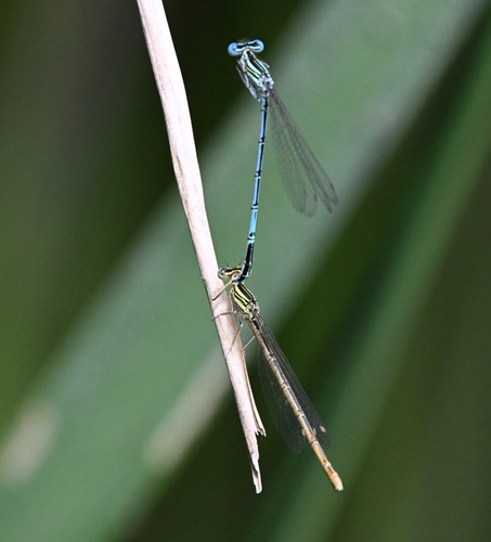
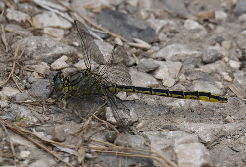
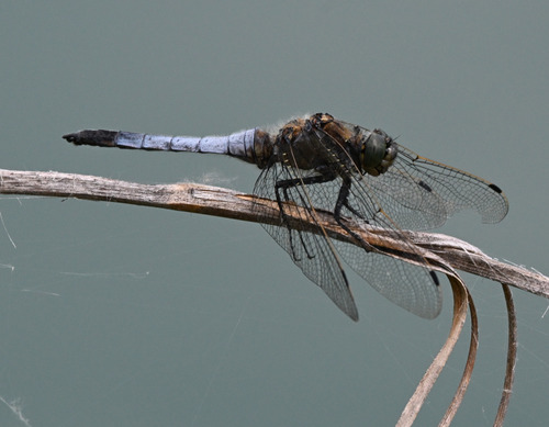
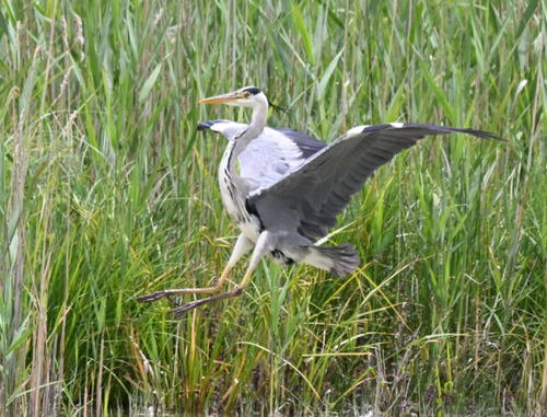
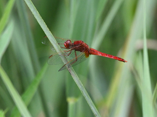
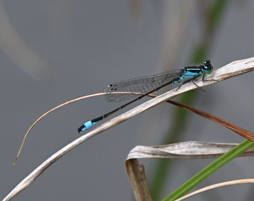
Research-grade observations from iNaturalist (within ~15 mi).
Events
Gallery
Geotagged photos within ~6 miles of Chapareillan, from Wikimedia Commons contributors.
 0 mi
0 mi.JPG) 0.4 mi
0.4 mi.JPG) 1 mi
1 mi 1.4 mi
 1.5 mi
.jpeg) 1.7 mi
1.7 mi.JPG) 1.7 mi
1.7 mi 1.8 mi
 1.9 mi
 1.9 mi
.JPG) 2 mi
2 mi.JPG) 2 mi
2 mi.JPG) 2 mi
2 mi.JPG) 2.1 mi
2.1 mi 2.1 mi
 2.1 mi
 2.1 mi
 2.1 mi
 2.1 mi
 2.1 mi
 2.1 mi
 2.1 mi
 2.1 mi
 2.1 mi
Photos via Wikimedia Commons — see each image page for license & attribution.
Official Identifiers
INSEE — French National Institute of Statistics
- INSEE code
- 38075
- Department
- 38
- Region
- 84
- Population (Wikidata)
- 3,065
geo.api.gouv.fr
Sources
- • Wikipedia
- • Wikimedia Commons
- • Wikidata
- • USGS Earthquake Catalog (global feed)
- • GBIF (Global Biodiversity Information Facility)
- • iNaturalist
- • INSEE — French national statistics, via geo.api.gouv.fr (official commune code, population, surface, department, region)
- • INSEE — French National Institute of Statistics — geo.api.gouv.fr