Browse / France / Grand Est / Charleville-Mézières
Charleville-Mézières
Grand Esttown

Charleville-Mézières
Total population
46,398
Founded
1966
Demographic figures from INSEE. Overview below cites Wikipedia and may reference a different year.
City facts
Sister cities
Facts from Wikidata (CC0).
Overview
Charleville-Mézières is a commune of northern France and the prefecture of the Ardennes department, in the Grand Est region. Charleville-Mézières is located on the banks of the river Meuse.
Read more on WikipediaHistory & geography
History
Charleville and Mézières were originally separate communities on opposite banks of the Meuse, about from one another. Charleville was founded by Charles Gonzaga, the 8th duke of Mantua, in 1606. Its inhabitants were known as Carolopolitans ( or Carolopolitaines). It was prosperous from the 17th century, although its fortifications were dismantled under Louis XIV in 1687 and it passed into French hands in 1708. It was plundered by the Prussians in 1815. France's royal armaments factory was formerly located there and gave its name to the Charleville musket, before being relocated and divided between Tulle and Châtellerault. In the 19th century, the city continued to produce arms through private firms, as well as nails, hardware, wine, spirits, coal, iron, and slate. It boasted a spacious port, a theatre, a large public library, and a museum of natural history. The name Mézières derives from the Latin maceriae, meaning 'ramparts'. The inhabitants of Mézières were known as Macerians ( or Macériennes). By the mid-19th century, the two towns were linked by a suspension bridge. It was occupied by the German Empire in the First World War and by Nazi Germany in World War II - the town served as the center of the Oberste Heeresleitung (OHL) for 26 days during World War I. The present commune was established in 1966, the year after another commune, Le Theux, had been merged into Mézières. The entire resultant commune has a population of about 51,000. The Hôtel de Ville was completed in July 1933.
Excerpted from the corresponding Wikipedia article (CC BY-SA).
Geography
Coordinates & boundaries from the US Census TIGER/Line shapefiles.
Climate
Air quality
Walkability
Amenities nearby
Wildlife & biodiversity
Most-observed species
- Eurasian BlackbirdTurdus merula Linnaeus, 1758 · Aves716
- Great TitParus major Linnaeus, 1758 · Aves659
- Common ChaffinchFringilla coelebs Linnaeus, 1758 · Aves645
- European RobinErithacus rubecula (Linnaeus, 1758) · Aves617
- Common BuzzardButeo buteo (Linnaeus, 1758) · Aves615
- House SparrowPasser domesticus (Linnaeus, 1758) · Aves608
- Eurasian Blue TitCyanistes caeruleus (Linnaeus, 1758) · Aves569
- Indian BalsamImpatiens glandulifera Royle · Magnoliopsida544
Citizen-science & research observations from the Global Biodiversity Information Facility (GBIF).
Earthquake history
Most recent
- M 2.8 — 2008-12-201 km WSW of Louvain-la-Neuve, Belgium
- M 3.3 — 2008-09-133 km SSE of Florennes, Belgium
- M 2.8 — 2008-09-121 km NNW of Court-Saint-Étienne, Belgium
- M 2.7 — 2008-08-091 km SW of Ottignies, Belgium
- M 2.5 — 2008-08-081 km SSW of Ottignies, Belgium
- M 2.6 — 2008-08-081 km SSE of Boussu, Belgium
Events from the USGS Earthquake Catalog (global) (FDSN Event Web Service).
Photos
Sights & places nearby
Notable people from here
Nearby places in Grand Est
- Monthermé7.7 mi away · pop. 2,170
- Naux8.9 mi away
- Les Hautes-Rivières9.4 mi away · pop. 1,318
- Rocroi13.8 mi away · pop. 2,259
- Vireux-Wallerand21.5 mi away · pop. 1,894
- Saint-Fergeux26.9 mi away · pop. 215
- Taizy27 mi away · pop. 103
- Bétheny45.1 mi away · pop. 7,086
- Longuyon45.4 mi away · pop. 5,190
- Hans45.9 mi away · pop. 130
- Gorcy46 mi away · pop. 2,965
- Cosnes-et-Romain47.7 mi away · pop. 2,775
Geography & sun
Elevation, sunrise/sunset and daylight from Open-Meteo. Solar climatology from NASA POWER.
Nearby airports
Public attention
Pageview totals from the Wikimedia Pageviews API.
Books about this place
Recent natural events nearby
Ground air-quality sensors
Recently spotted species
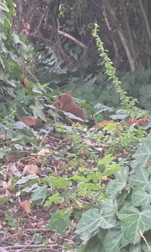
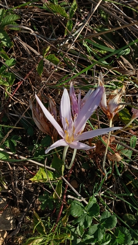
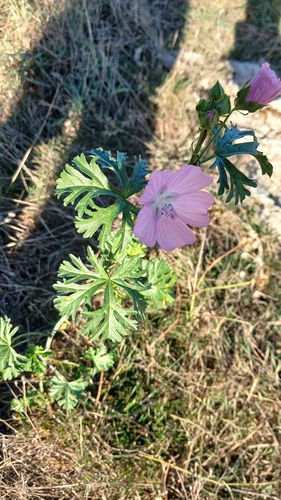
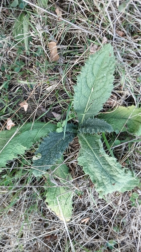
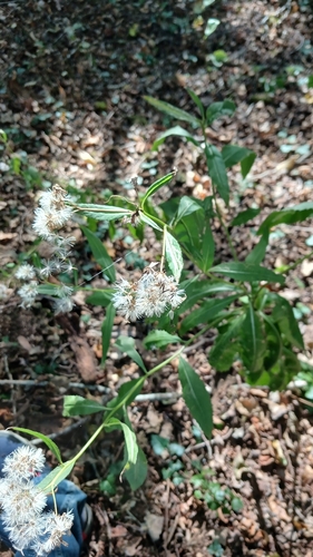
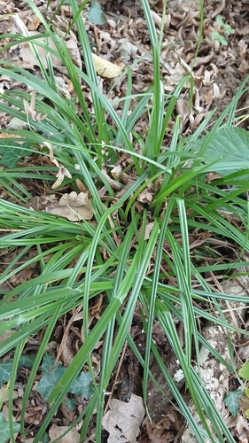
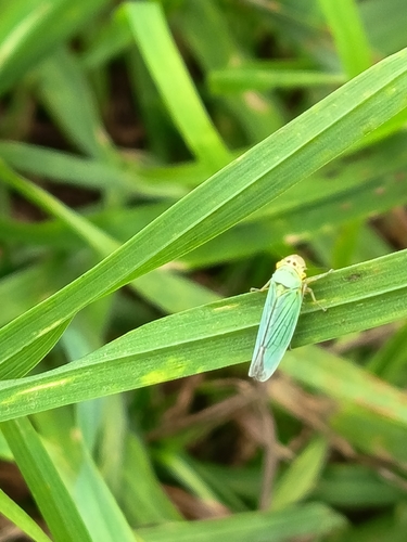
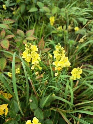
Research-grade observations from iNaturalist (within ~15 mi).
Events
Notable, recurring, and historical events associated with Charleville-Mézières, sourced from Wikidata.
- Tribute to Paul Varry in Charleville-MézièresOct 19, 2024demonstration
gathering on 19 October 2024 in front of the city hall of Mézières in tribute to cyclist Paul Varry
Source: Wikidata (CC0).
Gallery
Official Identifiers
INSEE — French National Institute of Statistics
- INSEE code
- 08105
- Department
- 08
- Region
- 44
- Population (Wikidata)
- 45,560
geo.api.gouv.fr
Sources
- • Wikipedia
- • Wikidata
- • USGS Earthquake Catalog (global feed)
- • GBIF (Global Biodiversity Information Facility)
- • iNaturalist
- • Open-Meteo / sunrise-sunset.org
- • Wikipedia Pageviews API
- • Wikidata SPARQL (CC0) — population, area, elevation, inception, head of government, Commons image
- • INSEE — French national statistics, via geo.api.gouv.fr (official commune code, population, surface, department, region)
- • INSEE — French National Institute of Statistics — geo.api.gouv.fr