Browse / France / Auvergne-Rhône-Alpes / Charvieu
Charvieu
Auvergne-Rhône-Alpesvillage

Charvieu
Total population
10,280
Demographic figures from INSEE. Overview below cites Wikipedia and may reference a different year.
City facts
Facts from Wikidata (CC0).
Overview
Charvieu-Chavagneux is a commune in the Isère department in southeastern France.
Read more on WikipediaHistory & geography
History
Charvieu and Chavagneux were separate communities until the merge on 1 May 1961. Charvieu was originally known as Chalveu in the 13th century, derived from calvus, meaning "the bald". Chavagneux was originally known as Chavaigneu in the 11th century, derived from capannacum, a Gallo-Roman name derived from capanna, meaning "hut". The first human presence in Charvieu and Chavagneux were the Celts, who regularly passed through as shown by ancient roads. During the Middle Ages, pilgrims from the Provence and the Dauphiné on their way to see the relics of Saint Claude also travelled through the area, along where the churches of Charvieu and Chavagneux were built. Teamsters from the Provence and Languedoc often made use of the routes to circumvent customs checkpoints to reach Franche-Comté, Lorraine, Alsace, and Germany. Historically, French kings also travelled through Charvieu and Chavagneux to visit the Dauphiné. In early 1590, during the French Wars of Religion, a company of François de Bonne, Duke of Lesdiguières defeated a Lyonnais force between Charvieu and Pont de Chéruis. A rudimentary census of the commune was first held in 1646, by order of Dauphine de Roman as part of a parcellaire (cadastral survey), showing two-thirds of the population were peasants. The 1702 census through Crémieu authorities also noted that fog generated by the marshes of the Bourbre was negatively affecting the health of farmers, coupled with the widespread grain farming yielding little harvest. Shortly before the French Revolution the final Lord of Chavagneux and Charvieu was Dupont de Chavagneux. The communities were subsequently made part of the , within the short-lived Canton of Villette-d'Anthon. Amidst dechristianization efforts, Chavagneaux officials, including the mayor Doitier,…
Excerpted from the corresponding Wikipedia article (CC BY-SA).
Geography
Coordinates & boundaries from the US Census TIGER/Line shapefiles.
Climate
10-year averages from ERA5 reanalysis (Open-Meteo).
Air quality
Walkability
Amenities nearby
Wildlife & biodiversity
Earthquake history
Photos
Sights & places nearby
Notable people from here


People born within ~10 km, from Wikidata (CC0). Click any name for their Wikipedia article.
Nearby places in Auvergne-Rhône-Alpes
- Chavagneux1.3 mi away
- Villemoirieu3.6 mi away · pop. 1,856
- Satolas3.8 mi away · pop. 2,520
- Crémieu4.4 mi away · pop. 3,490
- Moras6.1 mi away · pop. 525
- Hières-sur-Amby7.5 mi away · pop. 1,149
- Saint-Marcel-Bel-Accueil7.6 mi away · pop. 1,455
- Siccieu7.6 mi away · pop. 593
- Optevoz8.2 mi away · pop. 877
- Dagneux8.7 mi away · pop. 4,753
- La Boisse9.2 mi away · pop. 3,361
- Saint-Baudille-de-la-Tour9.2 mi away · pop. 835
Geography & sun
Elevation, sunrise/sunset and daylight from Open-Meteo. Solar climatology from NASA POWER.
Nearby airports
Public attention
Pageview totals from the Wikimedia Pageviews API.
Books about this place
Recent natural events nearby
Ground air-quality sensors
Recently spotted species
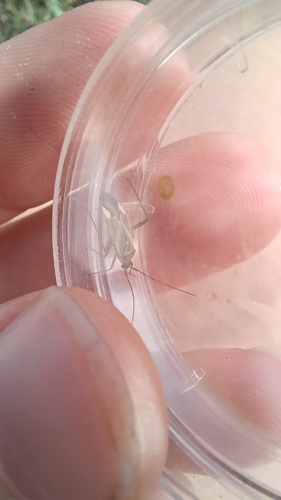
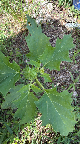
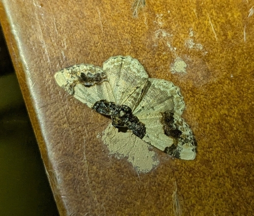
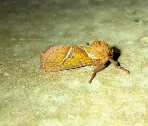
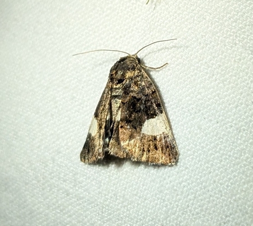
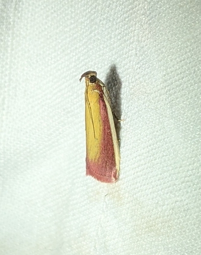
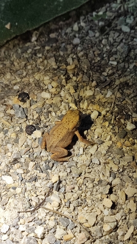
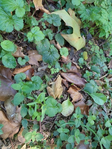
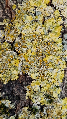
Research-grade observations from iNaturalist (within ~15 mi).
Events
Gallery
Official Identifiers
INSEE — French National Institute of Statistics
- INSEE code
- 38085
- Population (Wikidata)
- 2,355
- Wikidata
- Q63077802
geo.api.gouv.fr
Sources
- • Wikipedia
- • Open-Meteo (ERA5 reanalysis)
- • Wikidata
- • iNaturalist
- • Open-Elevation
- • Open-Meteo / sunrise-sunset.org
- • Wikipedia Pageviews API
- • Wikidata SPARQL (CC0) — population, area, elevation, inception, head of government, Commons image
- • INSEE — French national statistics, via geo.api.gouv.fr (official commune code, population, surface, department, region)
- • INSEE — French National Institute of Statistics — geo.api.gouv.fr