Browse / France / Bretagne / Châteauneuf-du-Faou
Châteauneuf-du-Faou
Bretagnevillage

Châteauneuf-du-Faou
Total population
3,648
Demographic figures from INSEE. Overview below cites Wikipedia and may reference a different year.
City facts
Facts from Wikidata (CC0).
Overview
Châteauneuf-du-Faou is a commune in the Finistère department of Brittany in north-western France.
Read more on WikipediaHistory & geography
History
There is strong evidence that people have lived in this area for thousands of years. A large number of tumuli discovered near the sides of the road from Châteaulin to Carhaix testify to the density of the prehistoric population. Burial sites from the Bronze and Iron Ages have also been found. Roman coins from the reigns of the emperors Gallienus and Aurelian were discovered in 1878. During its history Châteauneuf-du-Faou was given different names in Latin and French: * "Castellum novum" in the 12th century * "Castrum novum" in 1217 * "Castrum novum in fago" between 1330 and 1368 * Châteauneuf-du-Faou in 1391. The town has experienced some riots and wars during its history. The worst day in its history was on 23 March 1593. The War of Religion which started in 1589 was about to end. Only four months were remaining before Henry IV of France's conversion to Catholicism with his famous Paris vaut bien une messe ("Paris is well worth a Mass"). On that spring day, in March 1593, Châteauneuf-du-Faou was invaded by hundreds of armed Huguenots. Houses were burnt and the inhabitants were murdered. The story is told that a Huguenot soldier seized a holy ciborium and threw it onto the ground. The priest picked it up and swallowed the Hosts, only to be killed by the soldier. This story is depicted on one of the stained glass windows of the chapel of Notre-Dame-des-Portes. The Revolt of the papier timbré (or, as it was called in Brittany, the Revolt of the Red Bonnets, did not spare Châteauneuf-du-Faou. Angry peasants burned the castle in 1675. In 1438 a statue of the Blessed Virgin Mary was found inside an old tree. Looked on as miraculous, the find was celebrated by the building of the chapel of Notre-Dame-des-Portes, a very popular place for pilgrimage throughout Brittany.
Geography
Châteauneuf-du-Faou is located in the middle of Brittany, between Monts d'Arrée and Montagne Noire. The town is built on a hill overlooking the Canal de Nantes à Brest, which is the canalized river Aulne. The bridge over this waterway was built in 1638, when Louis XIII was king of France, and is known as the "Old King's Bridge".
Excerpted from the corresponding Wikipedia article (CC BY-SA).
Geography
Coordinates & boundaries from the US Census TIGER/Line shapefiles.
Climate
Air quality
Walkability
Amenities nearby
Wildlife & biodiversity
Most-observed species
- European RobinErithacus rubecula (Linnaeus, 1758) · Aves852
- Eurasian BlackbirdTurdus merula Linnaeus, 1758 · Aves807
- Common Wood-PigeonColumba palumbus Linnaeus, 1758 · Aves776
- House SparrowPasser domesticus (Linnaeus, 1758) · Aves763
- Common ChaffinchFringilla coelebs Linnaeus, 1758 · Aves747
- Western JackdawColoeus monedula (Linnaeus, 1758) · Aves656
- Eurasian Blue TitCyanistes caeruleus (Linnaeus, 1758) · Aves624
- DunnockPrunella modularis (Linnaeus, 1758) · Aves512
Citizen-science & research observations from the Global Biodiversity Information Facility (GBIF).
Earthquake history
Most recent
- M 3.7 — 2020-02-193 km ESE of Brest, France
- M 3.9 — 2016-12-112 km WSW of Plabennec, France
- M 3.5 — 2013-12-116 km WSW of Le Faou, France
- M 4.5 — 2013-11-211 km WSW of Plescop, France
- M 2.5 — 2008-11-173 km SSW of Pléhédel, France
- M 2.7 — 2008-08-231 km W of Glomel, France
Events from the USGS Earthquake Catalog (global) (FDSN Event Web Service).
Photos
Sights & places nearby
Notable people from here
Geography & sun
Elevation, sunrise/sunset and daylight from Open-Meteo. Solar climatology from NASA POWER.
Nearby airports
Public attention
Pageview totals from the Wikimedia Pageviews API.
Books about Châteauneuf-du-Faou
Search results from Open Library.
Recent natural events nearby
Ground air-quality sensors
Recently spotted species
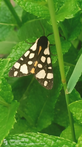
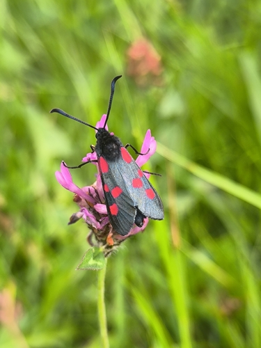
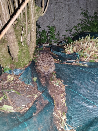
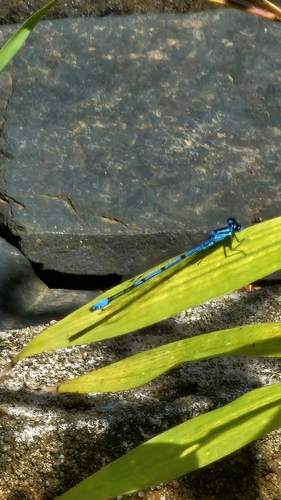
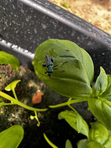
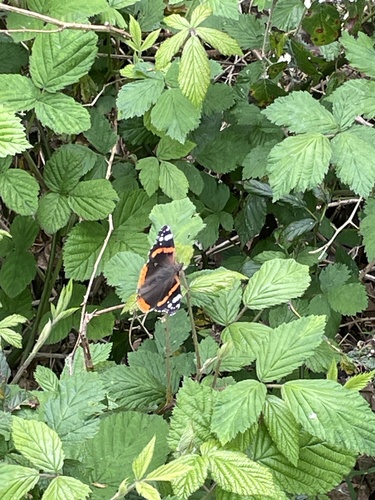
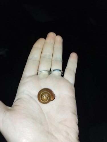
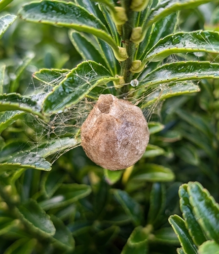
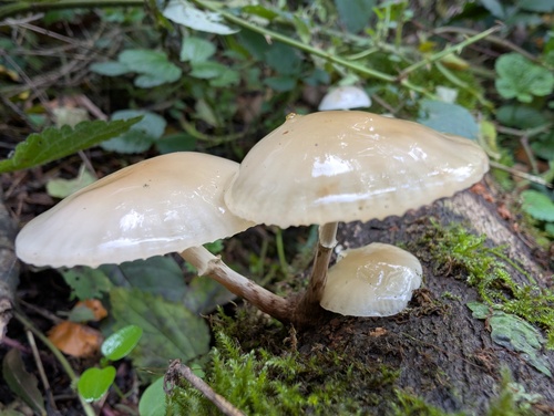
Research-grade observations from iNaturalist (within ~15 mi).
Events
Gallery
Geotagged photos within ~6 miles of Châteauneuf-du-Faou, from Wikimedia Commons contributors.
 0 mi
0 mi 0 mi
0 mi 0 mi
0 mi_Chapelle_Notre-Dame-des-Portes_01.JPG) 0.2 mi
0.2 mi_Chapelle_Notre-Dame-des-Portes_03.JPG) 0.2 mi
0.2 mi_Chapelle_Notre-Dame-des-Portes_02.JPG) 0.2 mi
0.2 mi_Chapelle_Notre-Dame-des-Portes_04.JPG) 0.2 mi
0.2 mi_Chapelle_Notre-Dame-des-Portes_05.JPG) 0.2 mi
0.2 mi_Chapelle_Notre-Dame-des-Portes_06.JPG) 0.2 mi
0.2 mi_Chapelle_Notre-Dame-des-Portes_08.JPG) 0.2 mi
0.2 mi_Chapelle_Notre-Dame-des-Portes_07.JPG) 0.2 mi
0.2 mi_Chapelle_Notre-Dame-des-Portes_09.JPG) 0.2 mi
0.2 mi_Chapelle_Notre-Dame-des-Portes_10.JPG) 0.2 mi
0.2 mi_Chapelle_Notre-Dame-des-Portes_11.JPG) 0.2 mi
0.2 mi_Chapelle_Notre-Dame-des-Portes_12.JPG) 0.2 mi
0.2 mi_Chapelle_Notre-Dame-des-Portes_13.JPG) 0.2 mi
0.2 mi_Chapelle_Notre-Dame-des-Portes_14.JPG) 0.2 mi
0.2 mi_Chapelle_Notre-Dame-des-Portes_15.JPG) 0.2 mi
0.2 mi_Chapelle_Notre-Dame-des-Portes_16.JPG) 0.2 mi
0.2 mi_Chapelle_Notre-Dame-des-Portes_17.JPG) 0.2 mi
0.2 mi_Chapelle_Notre-Dame-des-Portes_18.JPG) 0.2 mi
0.2 mi_Chapelle_Notre-Dame-des-Portes_19.JPG) 0.2 mi
0.2 mi.jpeg) 0.2 mi
0.2 mi 0.2 mi
Photos via Wikimedia Commons — see each image page for license & attribution.
Official Identifiers
INSEE — French National Institute of Statistics
- INSEE code
- 29027
- Department
- 29
- Region
- 53
- Population (Wikidata)
- 3,651
geo.api.gouv.fr
Sources
- • Wikipedia
- • Wikimedia Commons
- • Wikidata
- • USGS Earthquake Catalog (global feed)
- • GBIF (Global Biodiversity Information Facility)
- • iNaturalist
- • Open-Meteo / sunrise-sunset.org
- • Wikipedia Pageviews API
- • Open Library
- • INSEE — French national statistics, via geo.api.gouv.fr (official commune code, population, surface, department, region)
- • INSEE — French National Institute of Statistics — geo.api.gouv.fr